


José Antonio Tarrío
He holds a Doctorate in Research and Development in Geotechnologies, a University Master's Degree in Cartographic Geotechnologies in Engineering and Architecture, a Degree in Geomatics and Topography, and a Technical Engineering Degree in Topography. He currently works as an associate professor-researcher with a full-time position at the University of Santiago, Chile, where he is in charge of the research line in Geodesy and GNSS in the Department of Geographical Engineering. He also teaches Satellite Geodesy, Geodetic Adjustment, Geodesy, and geomatic applications with drones.
Topics
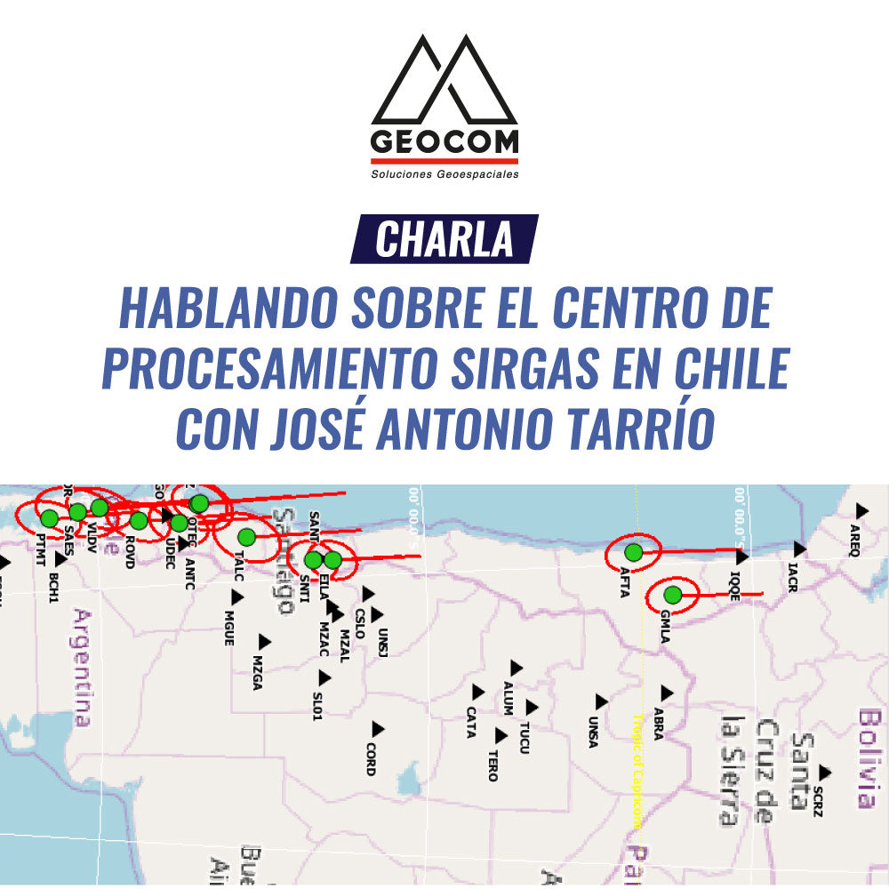
- History of SIRGAS
- What are SIRGAS-CON coordinates and how are they calculated?
- USC Processing Center
- Chile's potential in international geodesy.
- Application of SIRGAS products in engineering
- Current projects of the Center
REGISTRATION
Compartir:
Tech Talk | Speaking about Distance Reduction with Ariel Silva
Technical Talk | Talking about Geoidal Models with Henry Montecino