

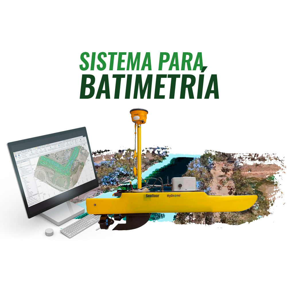

Hydrone is an autonomous bathymetry system supported by GNSS RTK, and controlled by Trimble Access field software. On this occasion, we present a successful case in Laguna Carén, where bathymetry was complemented with photogrammetry performed with a DJI Matrice 210 RTK v2, scans carried out with the Trimble SX10 total station, and geodetic support from a Trimble R10 GNSS using the GEOCOM GNSS Network. All data processing and analysis was generated with Trimble Business Center.
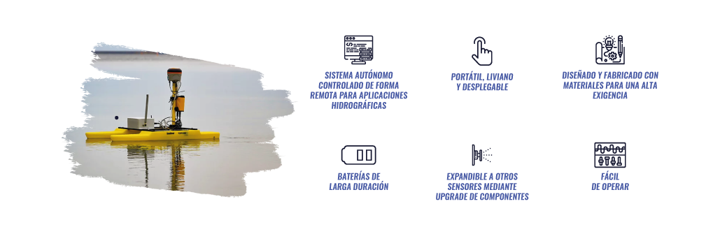
HYDRONE ™ SEAFLOOR AUTONOMOUS BOAT
HyDrone-ASV is a portable, catamaran-shaped boat, autonomously and remotely controlled, developed for hydrographic survey applications.
By combining the portable HydroLite-TM echosounder kit, the HyDrone achieves the same results as more expensive RC survey systems. The lightweight, wide-profile, watertight construction provides stability, robustness, and portability.
Manufactured with high-quality marine materials and components. It disassembles easily for transport and shipping.
It can be used in mines, wastewater treatment plants, tailings ponds, lakes, ports, and polluted rivers.

Compartir: