Content production using Multi-SLAM+3D Gaussian Splatting technology

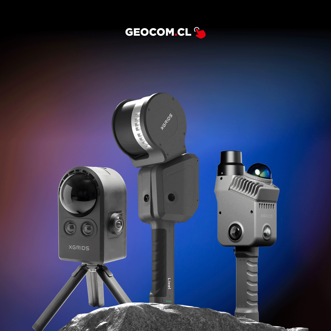
XGRIDS LIXEL CYBER COLOR LCC
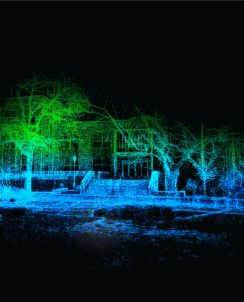
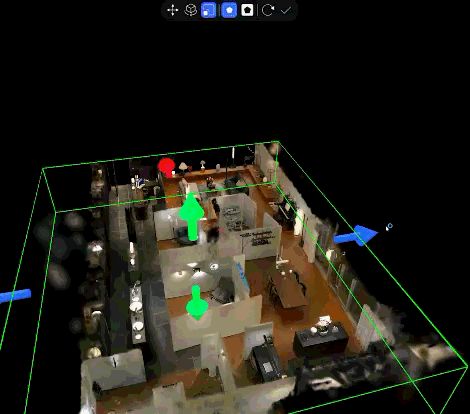
XGRIDS LCC is a state-of-the-art post-processing and 3D content generation software. Unlike traditional modeling, LCC uses advanced 3D Gaussian Splatting (3DGS) and Multi-SLAM algorithms to transform data captured by LiDAR scanners into photorealistic digital replicas (Digital Twins). This technology allows users to navigate scanned environments with cinematic quality, centimeter precision, and ultra-light files, ideal for immersive visualization, architecture, and digital preservation.
Characteristics
Specifications
Video
Includes:


He also takes
-
Consulting
Our team is ready to help you overcome any challenge in your projects. We have specialists with real technical training, who will guide you to integrate the exact solution your operation needs. Get advice from us via WhatsApp here
-
After-sales (Support and Technical Service)
We provide immediate technical support through our engineers to advise you on using your equipment to its maximum potential. Contact us to schedule your Technical Support via WhatsApp, or visit our Specialized Support portal to resolve operational queries.
-
News
Always stay one step ahead with the latest innovations in geospatial technology. Learn about new product launches, exclusive events, and technical talks designed to optimize your solutions. Discover all our news on the GEOCOM Blog