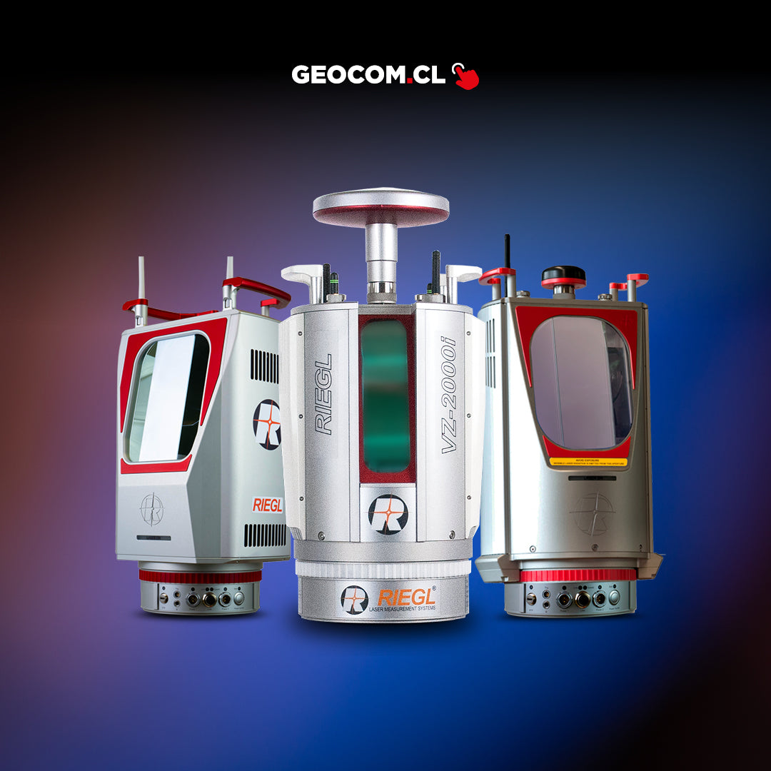

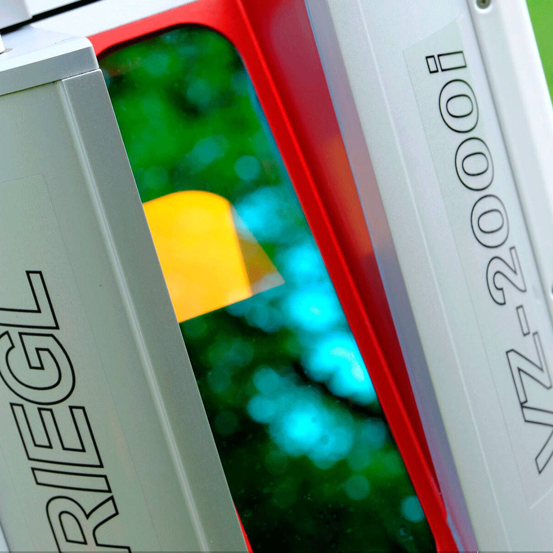
Terrestrial laser scanning innovation
VZ-2000i
Description
Based on a futuristic and innovative processing development, with internet connectivity and powered by the latest Riegl LiDAR processing technology, the VZ-2000i long-range 3D laser scanner combines Riegl's familiar in-field operability with faster and highly accurate data acquisition.
Specifications
- Maximum pulse repetition rate of up to 1.2 MHz
- Maximum data acquisition speed of up to 500,000 measurements/s
- Class 1 laser for eye-safe operation for the operator.
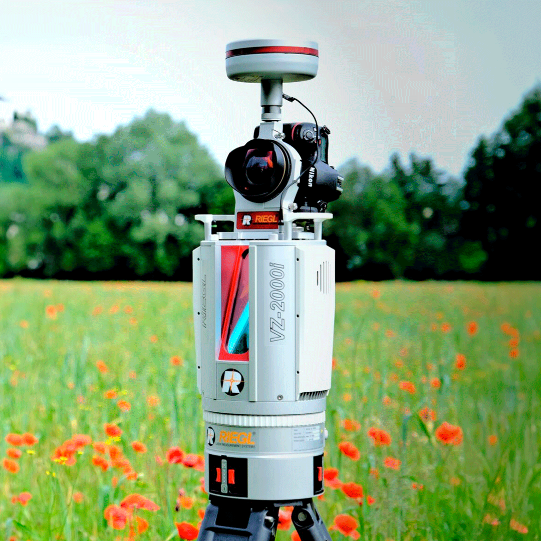
- Field of view range for scanning 100°x360° (Vertical x Horizontal) Range up to 2500 m, accuracy of 5 mm
- High precision and accuracy based on digital echo, real-time waveform processing and multiple time of arrival (MTA) processing
- New and revolutionary processing algorithm for data acquisition and simultaneous real-time georeferencing.
- NEW automatic registration on the same equipment.
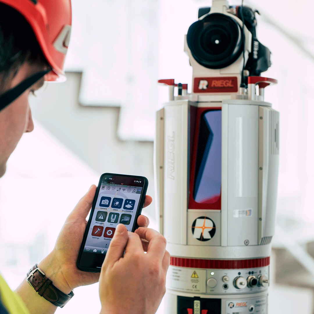
- Easy to use and train the operator (user-friendly touch screen, one-touch operation)
- Cloud connectivity.
- Wi-Fi and 3G/4G LTE Full compatibility with Mapping System
- RIEGL VMZ Hybrid Mobile Laser.
- Multi-target capture through analysis of different pulse rebounds.
- Optional carrier wave output.
- Orientation sensor for installation estimation.
- Remote control.
- Integrated GNSS receiver.
Video
Characteristics
Specifications
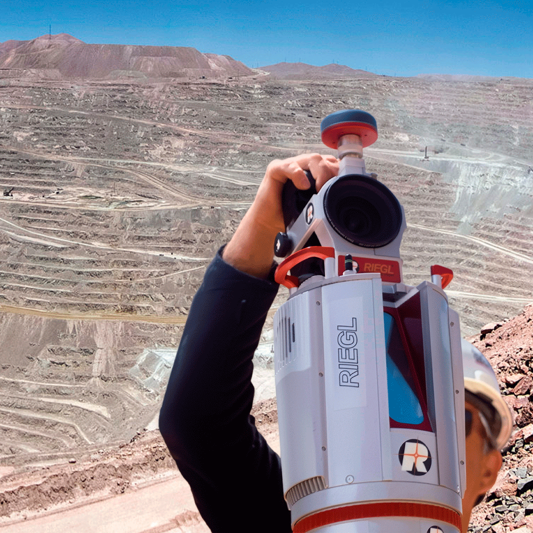
Typical Applications
Video
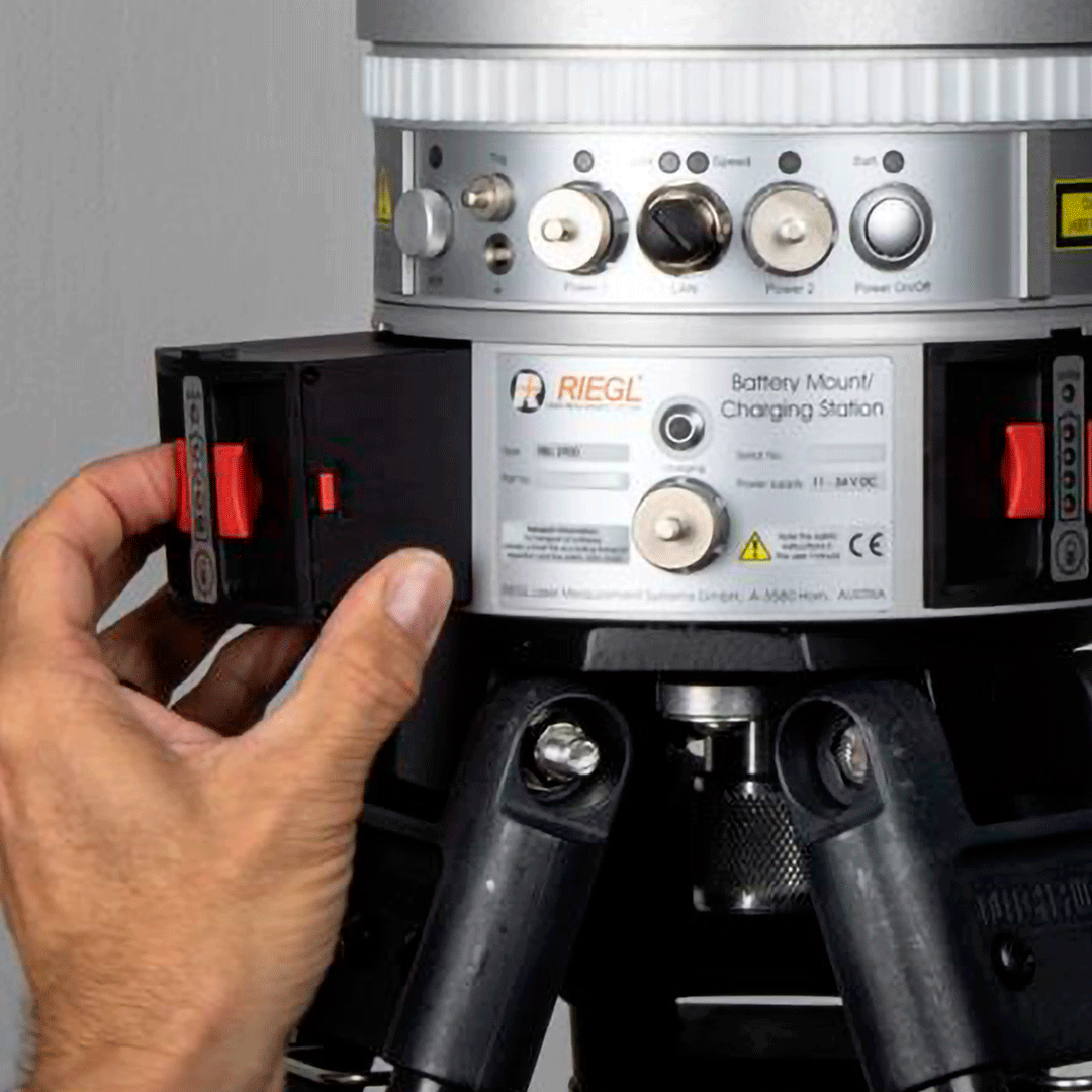
Includes:


He also takes
-
Consulting
Our team is ready to help you overcome any challenge in your projects. We have specialists with real technical training, who will guide you to integrate the exact solution your operation needs. Get advice from us via WhatsApp here
-
After-sales (Support and Technical Service)
We provide immediate technical support through our engineers to advise you on using your equipment to its maximum potential. Contact us to schedule your Technical Support via WhatsApp, or visit our Specialized Support portal to resolve operational queries.
-
News
Always stay one step ahead with the latest innovations in geospatial technology. Learn about new product launches, exclusive events, and technical talks designed to optimize your solutions. Discover all our news on the GEOCOM Blog