Advanced 3D Laser Scanning System

Trimble X9

The power to do more
Advanced 3D Laser Scanning System
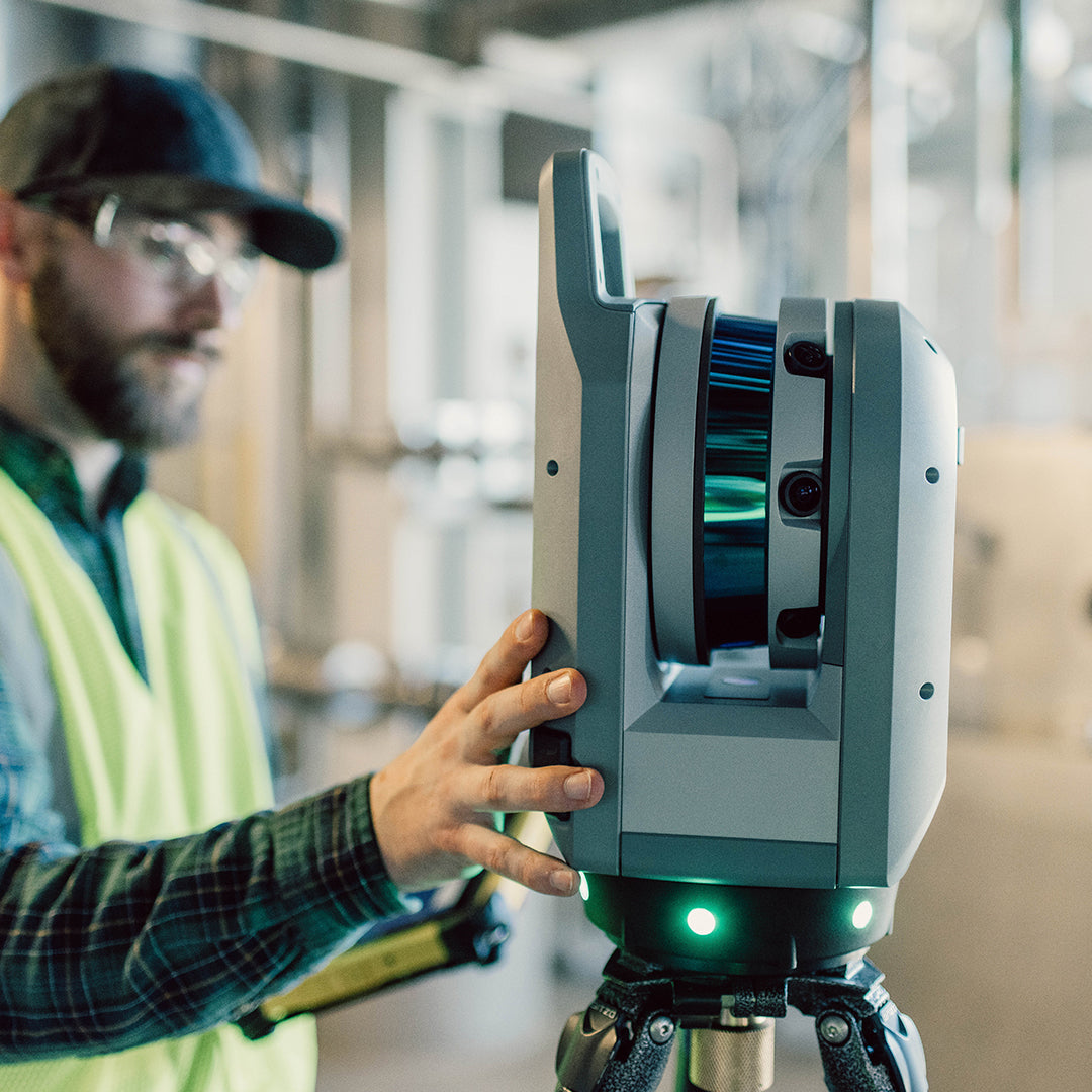
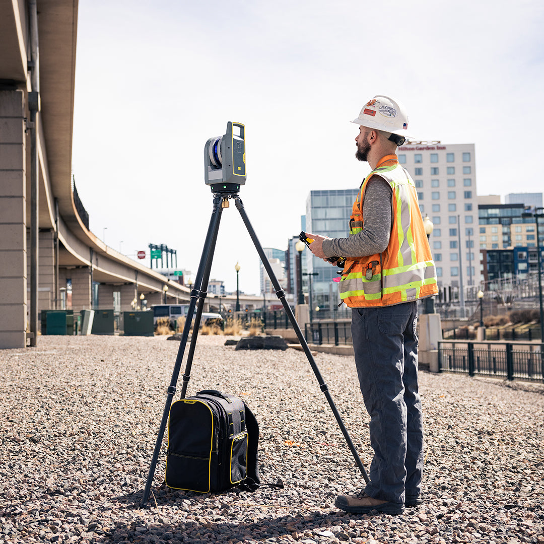
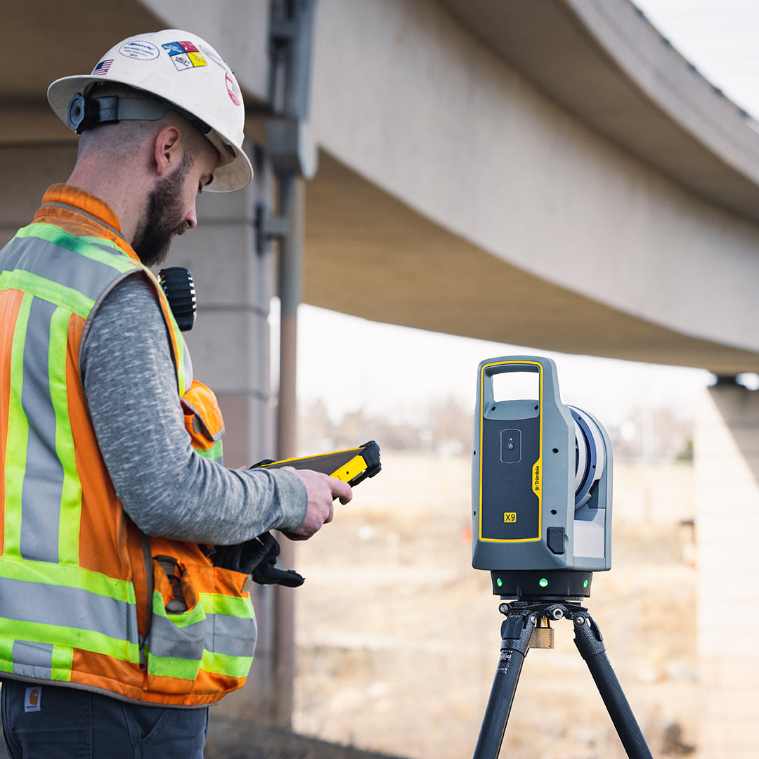
The Trimble X9 system is an advanced high-speed laser scanning system that combines Trimble technologies, including automatic calibration, auto-leveling, and in-field georeferencing, with exceptional speed, range, and accuracy to increase the efficiency and productivity of your projects.
EFFICIENT
⨮ Intuitive and efficient capture workflows, optimized for all types of users.
⨮ Powered by Trimble Perspective capture software, to easily manage and validate projects, thanks to automatic in-field registration.
⨮ In-field georeferencing and measurement of singular points using the built-in laser pointer.
VERSATILE
⨮ High-speed scanning increases productivity and captured data density.
⨮ Greater range, angular accuracy, and data quality, compatible with a wide range of applications.
⨮ High-sensitivity scanning mode to capture dark and reflective surfaces.
⨮ In-field operation connected to the system tablet or phone via Trimble Perspective software. Also, directly with a button on the device.
RELIABLE
⨮ Topographic-grade calibration and auto-leveling ensure the accuracy of data captured in the field.
⨮ Standard 2-year warranty.
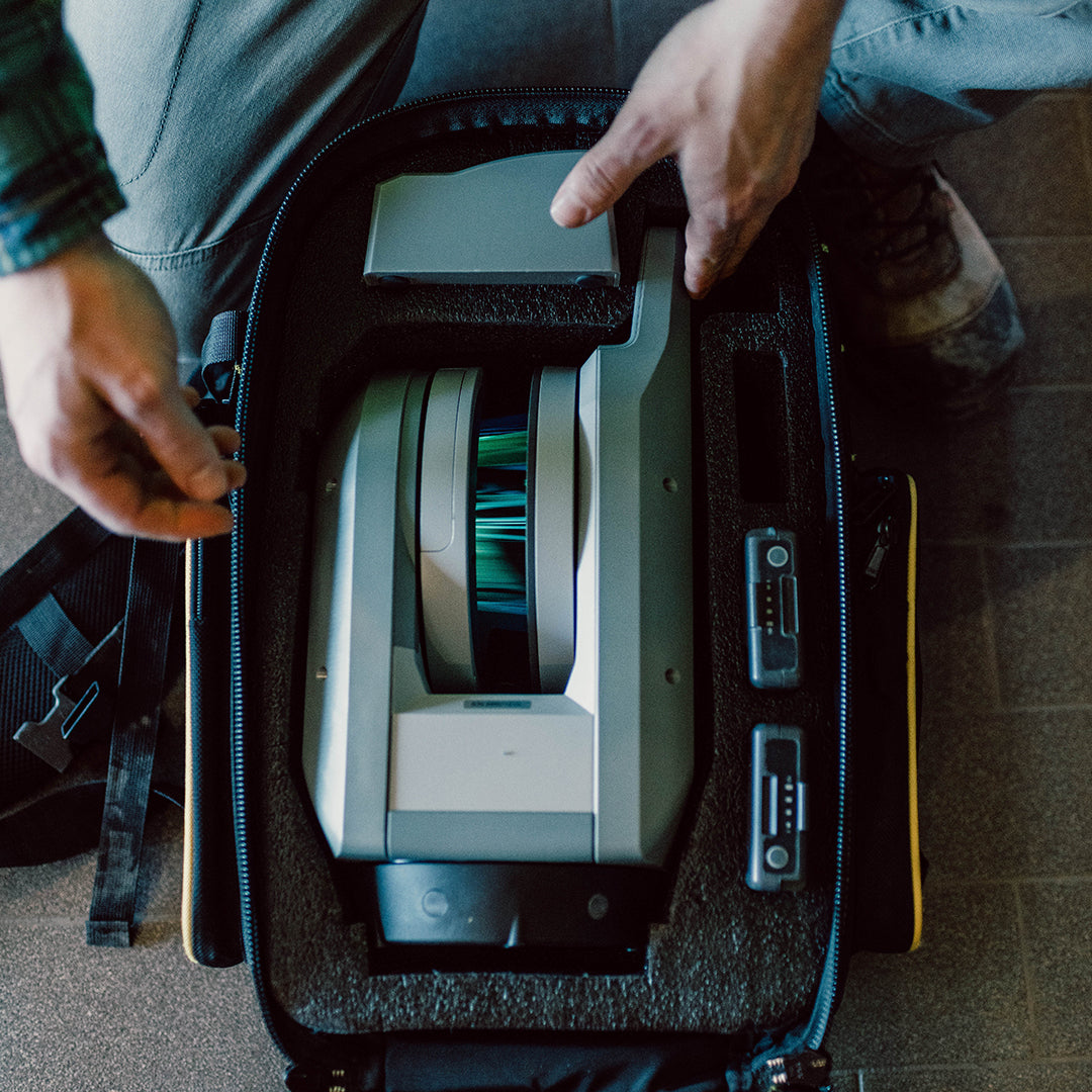
⨮ Prepared for demanding field work, IP55 protection against dust and moisture.
⨭High scanning speed, up to 1 Million PPS
⨭Capture range, up to 150m
⨭Low cloud noise <1.5mm at 30m
⨭Integrated inertial measurement unit, tracks position, orientation, and movement of the equipment
⨭High-resolution image capture 158mpx with HDR system
⨭Communication with Trimble Perspective to optimize capture processes. 3D visualization and in-field registration.
AUTOMATIC REGISTRATION
Trimble X9 combined with Trimble Perspective field software has the ability to perform automatic or manual registration of scanning positions directly in the field.
For automatic registration, it is necessary that position changes are made conveniently at 10-15 meters and that there are enough elements in the environment to meet the necessary overlap.
The use of spheres or black and white cards for registration is not necessary. This significantly increases productivity in the field. In case a scan cannot be adjusted automatically, Trimble Perspective allows approximate manual positioning of the scan to then refine it automatically. This manual process is simple, fast, and does not require stopping the progress of the scans.
Obtaining the final registration in the field reduces processing times and ensures complete data capture.
AUTO-CALIBRATION
Before each measurement, Trimble X9 checks and corrects its internal parameters if necessary, thus ensuring that the survey carried out in the field is correct.
There are no recommendations for factory maintenance and/or calibration once a year, reducing maintenance costs and ensuring operational continuity in projects.
HIGH-SENSITIVITY MEASUREMENT
Trimble X9 effortlessly captures information on dark or highly reflective surfaces in all capture modes.
3D DATA VISUALIZATION
On the tablet, it is possible to navigate fluidly over the point cloud, allowing detection of any deviation or data-free area in the survey. This ensures an accurate and complete survey before leaving the site.


Characteristics
Specifications
Automatic registration
Video
Includes:


He also takes
-
GEOCOM Support
Our support team is made up of geomatics engineers specializing in different technologies, with the training and technical experience necessary to advise clients on the use of their products. Visit our support page for more information here.
-
Instrument Rental
Lorem ipsum dolor sit amet, consectetur adipiscing elit, sed do eiusmod tempor incididunt ut labore et dolore magna aliqua. Ut enim ad minim veniam, quis nostrud exercitation ullamco laboris nisi ut aliquip ex ea commodo consequat.
-
Offices
Lorem ipsum dolor sit amet, consectetur adipiscing elit, sed do eiusmod tempor incididunt ut labore et dolore magna aliqua. Ut enim ad minim veniam, quis nostrud exercitation ullamco laboris nisi ut aliquip ex ea commodo consequat.
-
Guarantees
Lorem ipsum dolor sit amet, consectetur adipiscing elit, sed do eiusmod tempor incididunt ut labore et dolore magna aliqua. Ut enim ad minim veniam, quis nostrud exercitation ullamco laboris nisi ut aliquip ex ea commodo consequat.
Time savings in the field
Additionally, on Trimble X9
Trimble Perspective Mobile
Advanced Laser Scanning System