Management, analysis, and control of underground works.

TcpScancyr Software
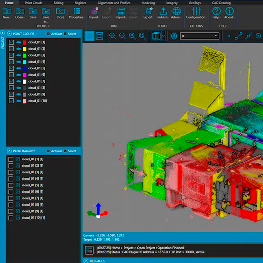
Description
This application calculates tunnel cross-sections for roads or railways, using laser scanner data. The project is defined from the plan and elevation axis, point clouds in the most common formats, and design sections. There are various tools for manual or automatic point filtering.
Cross-sections are calculated from the point cloud and can be modified using a powerful editor. They can be displayed in 2D or 3D, showing areas of under and over-excavation, and can also be exported to DXF, with multiple customization options. The program also generates other results such as area and volume reports, real axis deviation, inspection map, orthophotos, and video simulation of tunnel travel.
Video
Datasheet
Download Datasheet
Characteristics
Video
He also takes
-
Consulting
Our team is ready to help you overcome any challenge in your projects. We have specialists with real technical training, who will guide you to integrate the exact solution your operation needs. Get advice from us via WhatsApp here
-
After-sales (Support and Technical Service)
We provide immediate technical support through our engineers to advise you on using your equipment to its maximum potential. Contact us to schedule your Technical Support via WhatsApp, or visit our Specialized Support portal to resolve operational queries.
-
News
Always stay one step ahead with the latest innovations in geospatial technology. Learn about new product launches, exclusive events, and technical talks designed to optimize your solutions. Discover all our news on the GEOCOM Blog