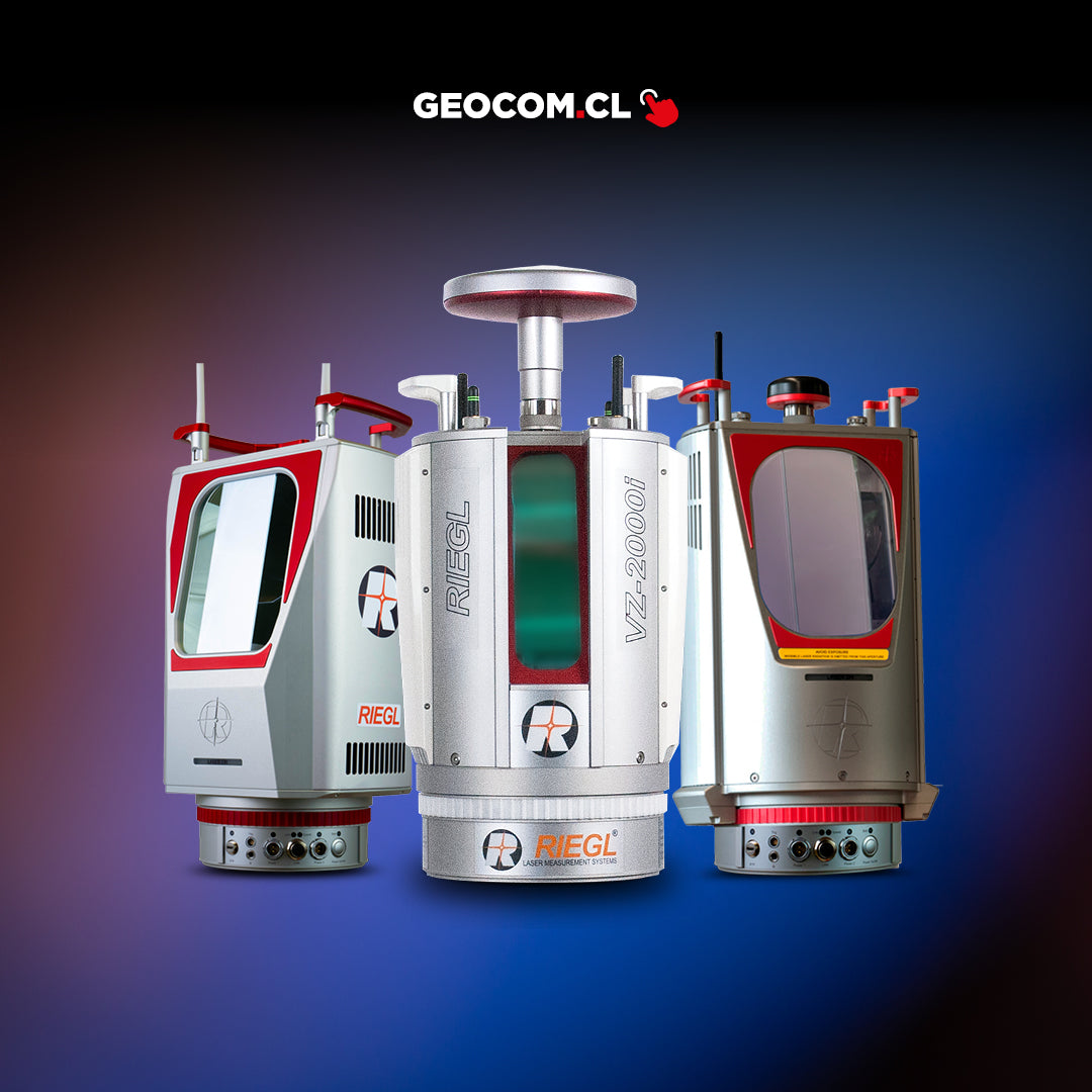

miniVUX-1UAV | miniVUX-2UAV
Laser scanning using high-end unmanned aerial platforms offers the possibility of acquiring data in dangerous and/or difficult-to-reach areas, while providing an excellent cost-benefit ratio for numerous applications, such as precision agriculture, forestry, and mining.
For years, RIEGL's airborne laser scanners have been successfully used on powerful unmanned aerial platforms.
With a new line of state-of-the-art airborne scanners specially developed for UAV/UAS/RPAS-based applications, RIEGL revolutionizes the commercial and civil market by providing a first-class technique for this new dynamic field.
RIEGL presents the miniVUX-1UAV and miniVUX-2UAV LiDAR sensors
Which are extremely lightweight airborne laser scanners, along with Applanix IMU/GNSS systems (in different available versions) and optional RGB camera systems.
The high performance of RIEGL UAV LiDAR sensors in combination with an inertial system and associated with trajectory processing results via GNSS, deliver highly accurate measurement results.

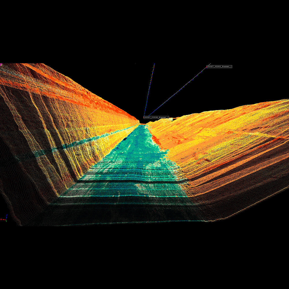
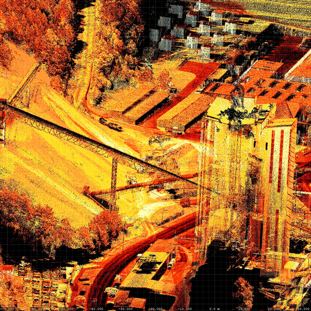
Its small and sophisticated design offers various integration possibilities with platforms that have restricted space or payload capacities. The 360° field of view allows for complete environment acquisition. Together with the kit that integrates the LiDAR sensor with the DJI M600 multi-rotor, they form a robust solution for a myriad of applications, such as Mining, Linear projects, Forestry, and Infrastructure.
The RIEGL miniVUX-1UAV makes use of RIEGL's unique laser pulse processing technology, enabling echo digitization and online waveform processing. Multi-target resolution is the basis for penetrating even dense foliage. As an additional special feature, the wavelength is optimized for measuring snowy and icy terrain.
An easy-to-remove SD card for data storage and/or the option to transmit scanned data via the LAN-TCP/IP interface, in combination with the scanner's modest power consumption, enable direct integration with most UAS/UAV/RPAS types.

The miniVUX-1UAV and miniVUX-2UAV sensors feature a clear and direct workflow for obtaining data in the field and the correct data processing workflow in the office, all integrated into RIEGL's proprietary software packages.
Main Applications:
Efficient data and image acquisition
Mining: Open-pit mining surveys, Stockpiles
Infrastructure
Mapping of Glaciers and Snowfields
Topography and marine applications
Monitoring of Construction and Engineering Works
Documentation for Archaeology
Forestry and Agriculture Applications
Electric Linear Projects
Main Features
RIEGL miniVUX-2UAV
- Measurements up to 200,000 measurements/second
- 200 kHz / 100 kHz Laser PRR (selectable)
- range at 200 kHz: up to 280m @ reflectivity ≥ 80%
- range at 100 kHz: same as miniVUX-1UAV
RIEGL miniVUX-1UAV
- Measurements up to 100,000 measurements/second
- 100 kHz Laser PRR
- range up to 330m @ reflectivity ≥ 80%
RIEGL miniVUX-1UAV | miniVUX-2UAV
- Class 1 Laser
- very compact and low weight 1.55 kg
- FOV 360°
- Robust aluminum housing, ready for mounting on a multi-rotor
- Multiple target capability up to 5 returns per pulse
- Accuracy 10mm
- IP 64
- Integration with DJI M600
- Applanix IMU/GNSS integration
He also takes
-
Consulting
Our team is ready to help you overcome any challenge in your projects. We have specialists with real technical training, who will guide you to integrate the exact solution your operation needs. Get advice from us via WhatsApp here
-
After-sales (Support and Technical Service)
We provide immediate technical support through our engineers to advise you on using your equipment to its maximum potential. Contact us to schedule your Technical Support via WhatsApp, or visit our Specialized Support portal to resolve operational queries.
-
News
Always stay one step ahead with the latest innovations in geospatial technology. Learn about new product launches, exclusive events, and technical talks designed to optimize your solutions. Discover all our news on the GEOCOM Blog