CAD FOR INFRASTRUCTURE

Bentley MicroStation

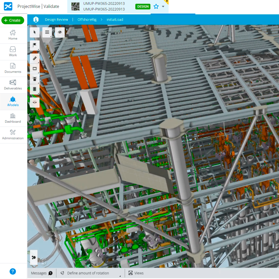
CAD for infrastructure
MicroStation is the professional tool for designing, modeling, and managing infrastructure. It offers power, control, efficiency, and security. It allows users to deliver innovative designs and creative visualizations, and consolidates critical project elements in a single environment for secure and effective project results.
Available in perpetual license and annual Virtuosity subscription
• Geospatially locate projects: Integrate geospatial information from hundreds of compatible coordinate systems into your designs. Access data from OGC web map servers, use real-time GPS data, Microsoft Bing maps, and create and reference geospatial PDF files.
• Incorporate common design formats: Easily read, share, and consume accurate data in key industry formats such as Autodesk® RealDWG™ (share and consume), IFC (read), Esri SHP (read), and more. Aggregate and assemble multiple file formats, including PDF, U3D, 3DS, Rhino 3DM, IGES, Parasolid, ACIS SAT, CGM, STEP AP203/AP214, STL, OBJ, VRMLWorld, SketchUp SKP, and Collada.
• Incorporate referenced design content: View and work with design information from others in real-time through live references of DGN, DWG, and large 2D/3D image files, which update on demand. You can even natively reference PDF files in your designs.
⨭ Explore more design options
⨭ Integrate any type of data
⨭ Locate and add geospatial context
![]()
Characteristics
Specifications
Video
He also takes
-
Consulting
Our team is ready to help you overcome any challenge in your projects. We have specialists with real technical training, who will guide you to integrate the exact solution your operation needs. Get advice from us via WhatsApp here
-
After-sales (Support and Technical Service)
We provide immediate technical support through our engineers to advise you on using your equipment to its maximum potential. Contact us to schedule your Technical Support via WhatsApp, or visit our Specialized Support portal to resolve operational queries.
-
News
Always stay one step ahead with the latest innovations in geospatial technology. Learn about new product launches, exclusive events, and technical talks designed to optimize your solutions. Discover all our news on the GEOCOM Blog