
Procesamiento fotogramétrico de imágenes digitales y generación de datos espaciales en 3D

Agisoft Metashape

Photogrammetric processing software for digital images and 3D spatial data generation
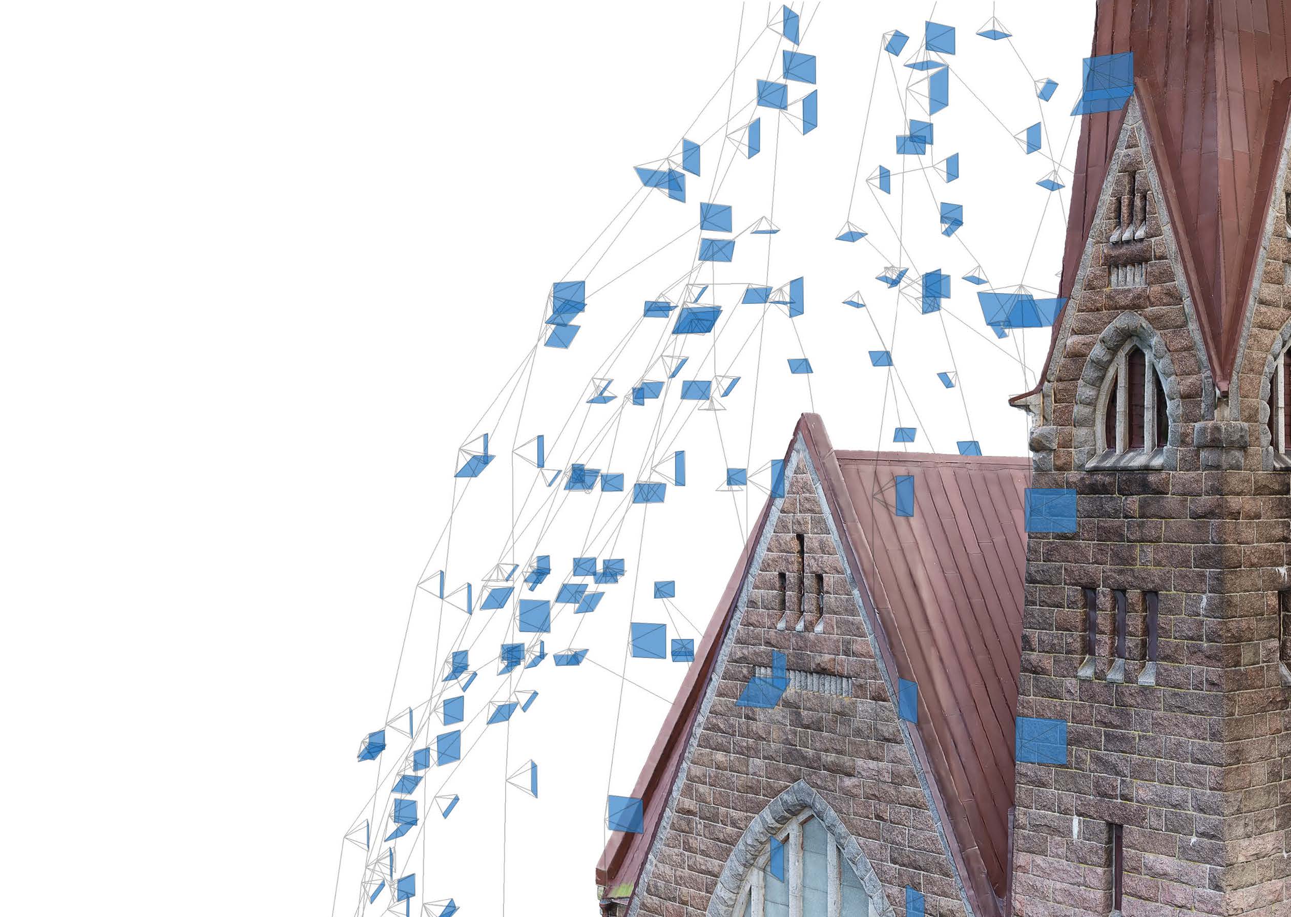
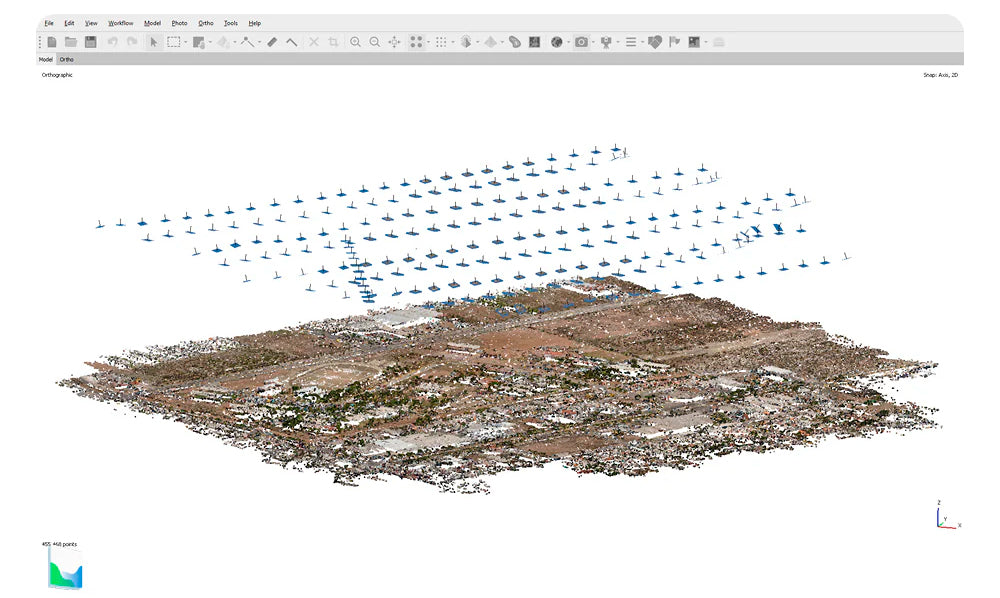
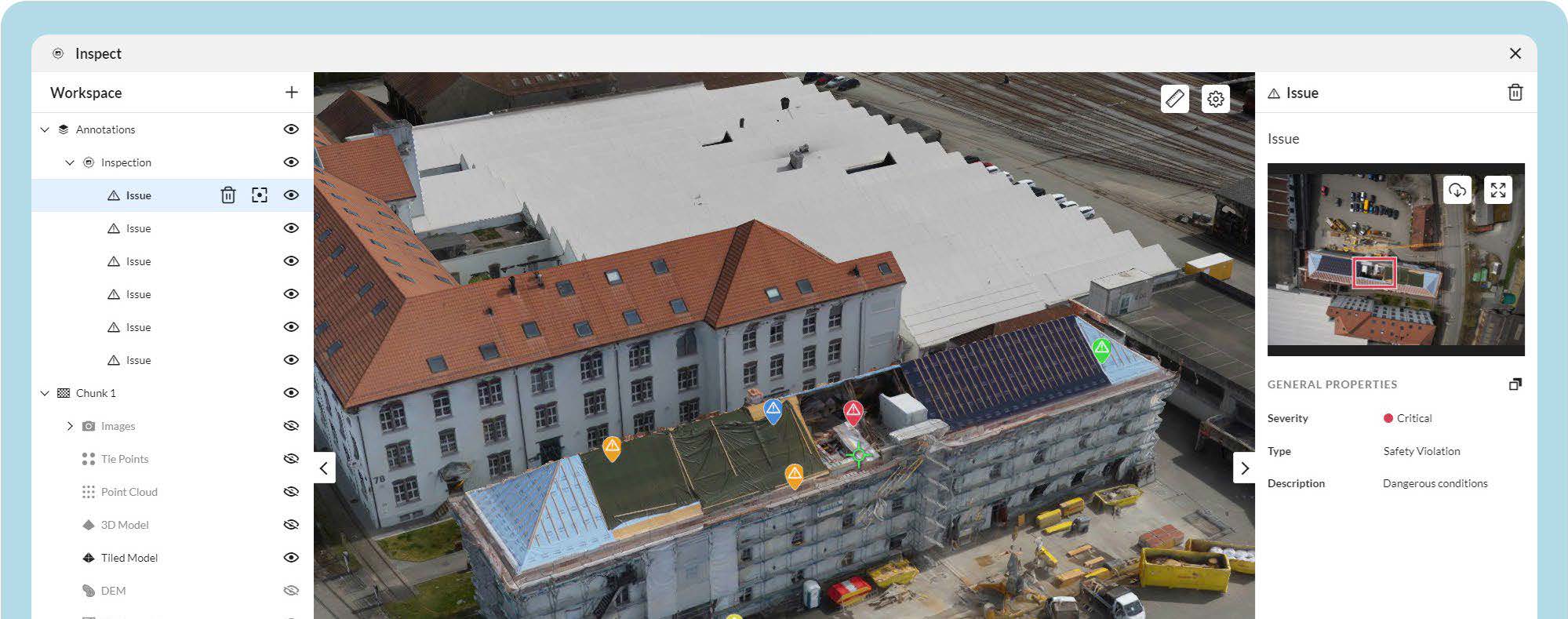
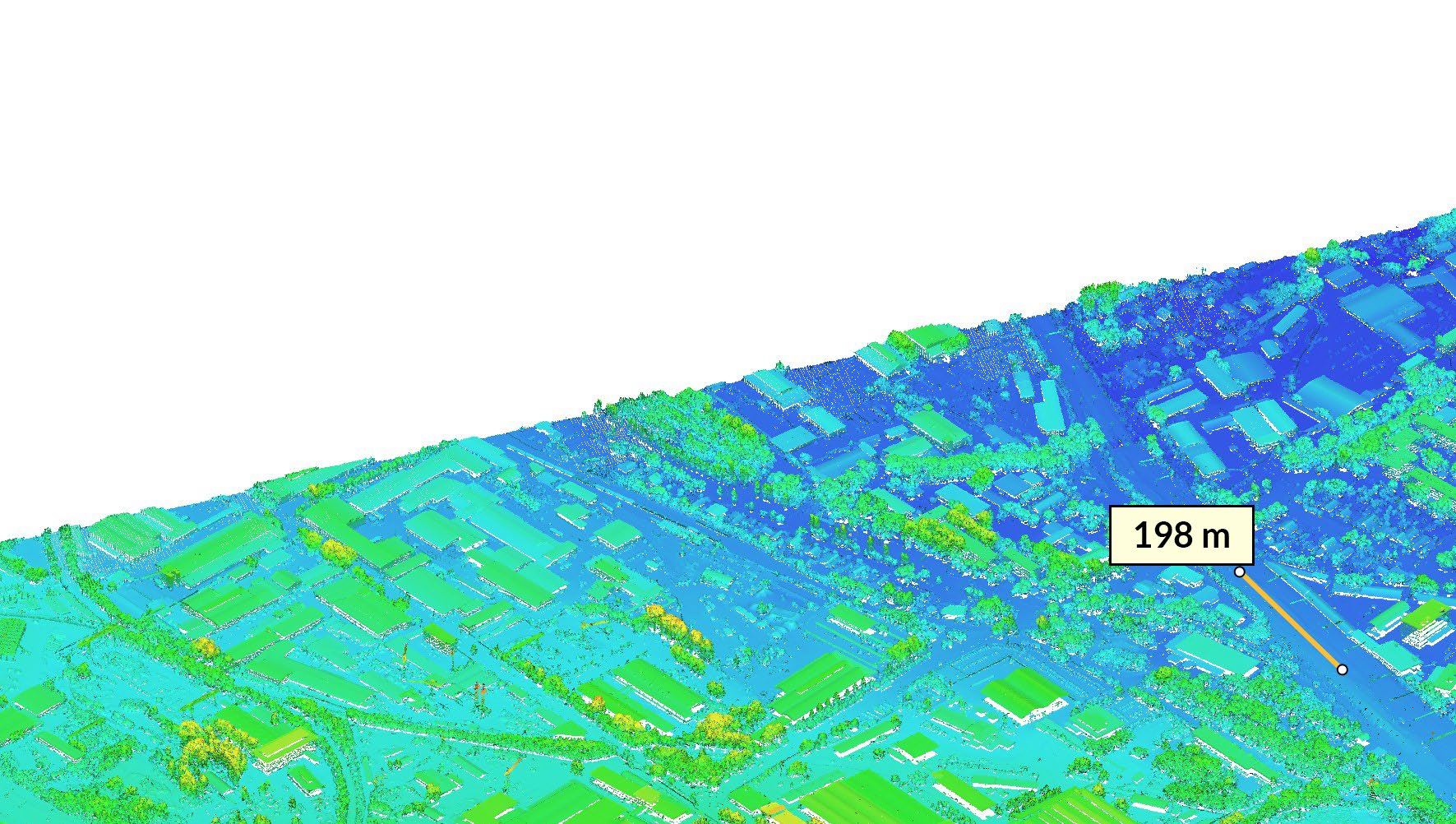
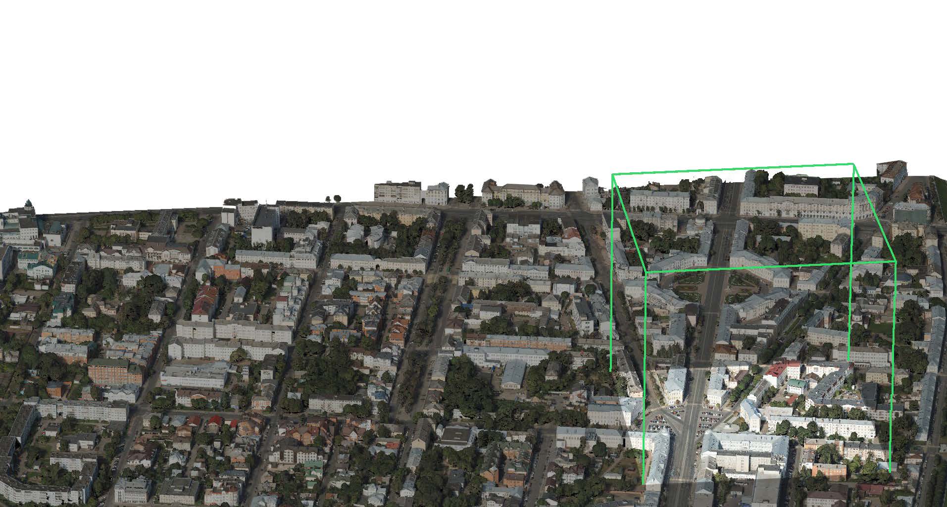
Agisoft Metashape is advanced photogrammetry and 3D reconstruction software that transforms images into high-precision three-dimensional models. Designed for professionals in various industries, Metashape is ideal for applications in fields such as geospatial surveying, topography, architecture, archaeology, cartography, engineering, film and multimedia, and heritage conservation. Thanks to its ability to generate detailed orthomosaics, dense point clouds, textured models, and geospatial maps, Agisoft Metashape has become the preferred tool for projects that require accuracy and quality.
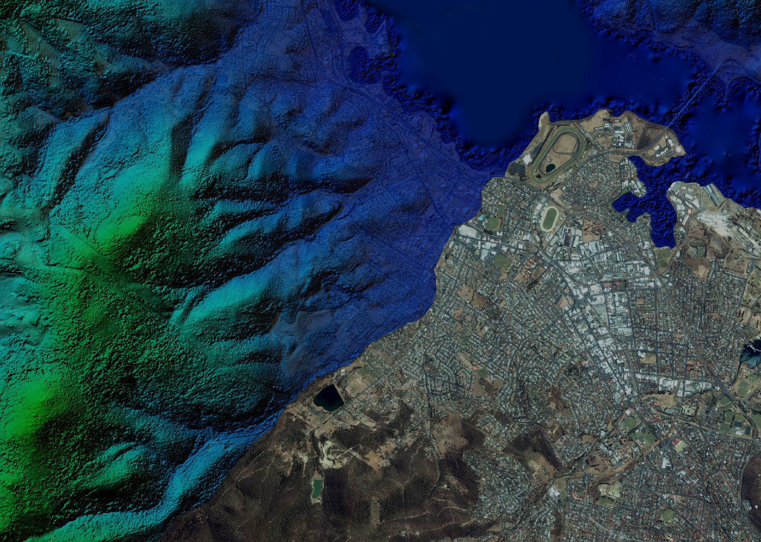
With Agisoft Metashape, you can process aerial photos captured by drones, as well as terrestrial images, to create geospatial maps, digital elevation models (DEMs), terrain models, and advanced geospatial analysis. Its batch processing capabilities and intuitive interface allow for easy integration into any work environment, significantly improving productivity.
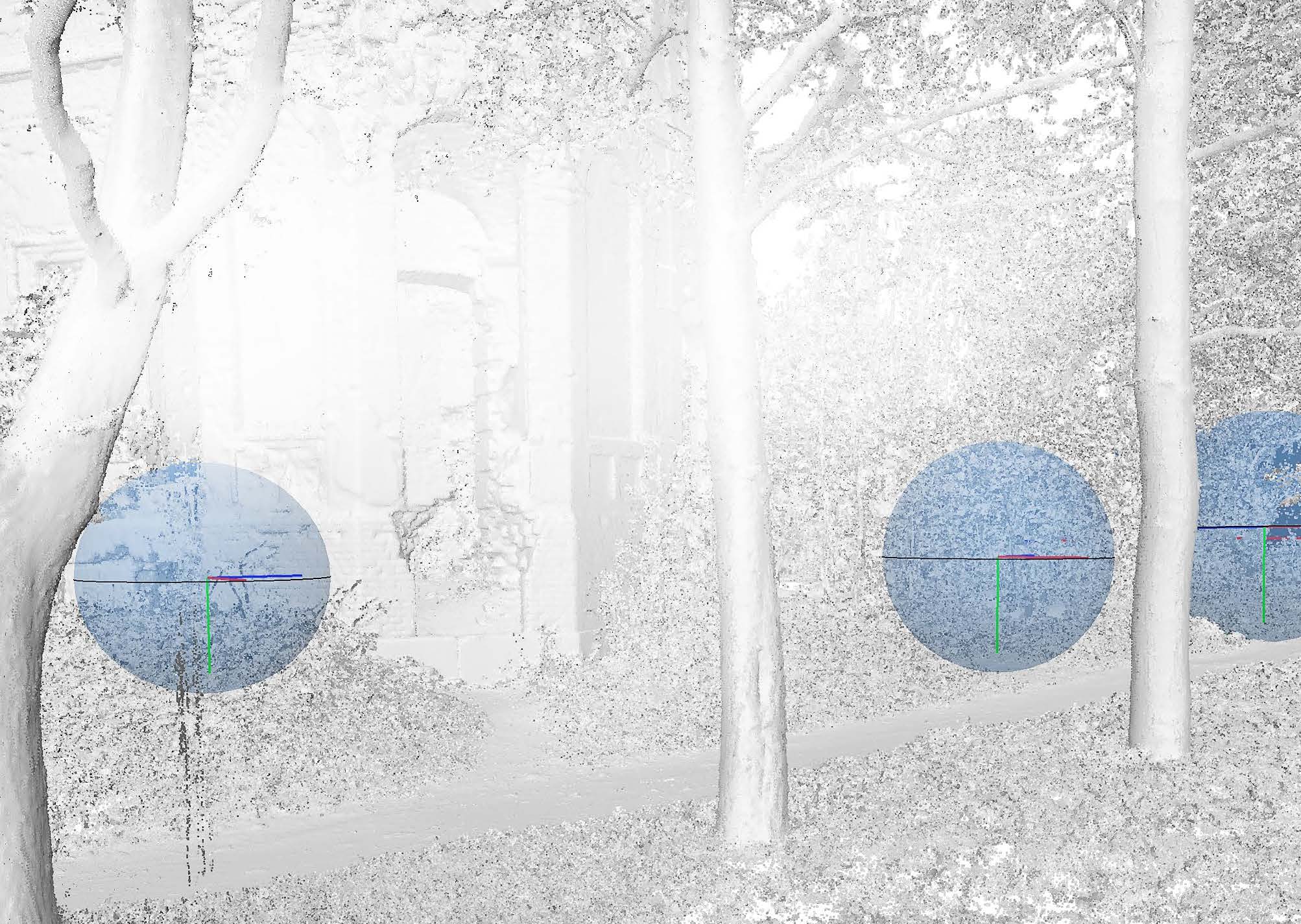
In addition, Agisoft Metashape offers advanced editing options and quality control tools that guarantee highly accurate and customized results. With support for Python scripting and process automation, it is the ideal solution for any professional who needs to take their 3D modeling projects to the next level.
Main features:
- 3D reconstruction from images for high-quality digital models.
- Automated and efficient processing for large volumes of data.
- Advanced editing and quality control tools.
- Compatible with multiple input and output formats.
- Support for Python script integration and task automation.
Optimize your workflow with Agisoft Metashape and take your photogrammetry and 3D reconstruction projects to new heights.
- Architecture and Construction: Creation of detailed building models, construction planning, and documentation of architectural projects.
- Archaeology and Heritage Conservation: Reconstruction of archaeological sites and digital preservation of historical monuments and artifacts.
- Cartography and Geomatics: Generation of topographic maps, orthomosaics, and digital terrain models (DTM) from photogrammetric data.
- Engineering and Mining: Geospatial analysis for infrastructure planning, land surveys, and natural resource management.
- Film, Animation, and Video Games: Creation of realistic virtual environments, 3D animations, and special effects.
- Environment and Agriculture: Crop monitoring, water resource management, and environmental impact analysis using aerial imagery.

Characteristics
ÁREAS DE APLICACIÓN AGISOFT METASHAPE
Video
He also takes
-
Consulting
Our team is ready to help you overcome any challenge in your projects. We have specialists with real technical training, who will guide you to integrate the exact solution your operation needs. Get advice from us via WhatsApp here
-
After-sales (Support and Technical Service)
We provide immediate technical support through our engineers to advise you on using your equipment to its maximum potential. Contact us to schedule your Technical Support via WhatsApp, or visit our Specialized Support portal to resolve operational queries.
-
News
Always stay one step ahead with the latest innovations in geospatial technology. Learn about new product launches, exclusive events, and technical talks designed to optimize your solutions. Discover all our news on the GEOCOM Blog