
Satellite navigation for snowplows | Husky
Description
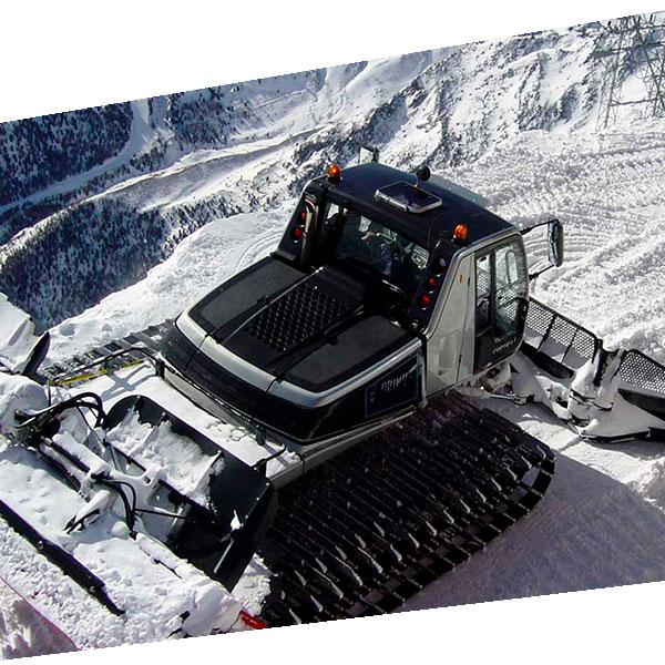
Satellite navigation for snowplows Achieve fast and safe road clearing. This system allows operators to drive over snowdrifts knowing exactly where the road is and identifying surrounding hazards, even if they are invisible due to snow cover or low visibility from whiteouts.
Specifications
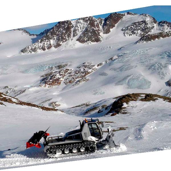
• Reduce risk and increase productivity: Driving over meters of snow will no longer be a danger. You will know exactly where the road edges are, avoiding risks by being able to drive on the road and not falling off slopes, hitting hidden objects, or falling into snow voids. You will know the exact thickness of the snow cover, which allows for fast and safe road clearing.
• In turn, knowing the edges and the distance to the surface allows for faster, more reliable clearing, and provides greater durability to the road surface.
• System designed for snowplows, snowcats, bulldozers, motor graders, snowmobiles, or any other equipment capable of traveling over snow.
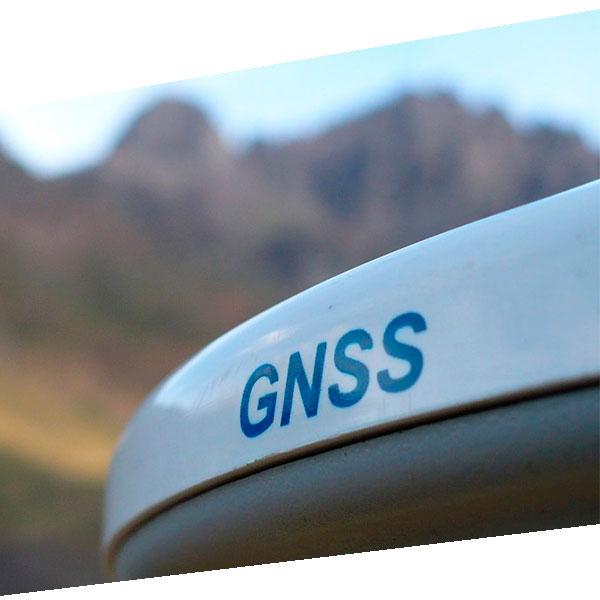
• Operates with high-precision GNSS systems, allowing you to know exactly how far the vehicle is from the road edge. The operator views the road on a touchscreen, drives safely, and obtains information about the snow cover thickness.
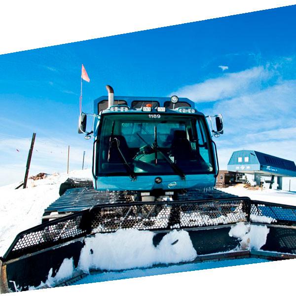
• Physical structures can be entered, such as underground chambers, underground high-voltage cable crossings, curbs, or other types of obstructions that require caution when driving. With the incorporated system, the operator will avoid hitting or damaging these installations that surround the road and become invisible in snowy conditions.
• Safe driving also increases machine productivity by allowing faster transit and precise work.
Video
Datasheet
Download DatasheetHe also takes
-
Consulting
Our team is ready to help you overcome any challenge in your projects. We have specialists with real technical training, who will guide you to integrate the exact solution your operation needs. Get advice from us via WhatsApp here
-
After-sales (Support and Technical Service)
We provide immediate technical support through our engineers to advise you on using your equipment to its maximum potential. Contact us to schedule your Technical Support via WhatsApp, or visit our Specialized Support portal to resolve operational queries.
-
News
Always stay one step ahead with the latest innovations in geospatial technology. Learn about new product launches, exclusive events, and technical talks designed to optimize your solutions. Discover all our news on the GEOCOM Blog