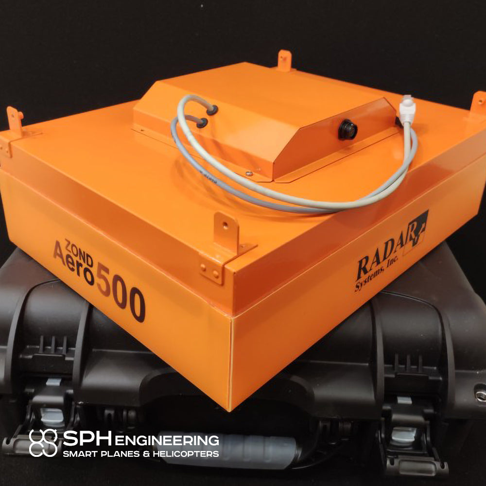

GPR RadSys Aero 500 - SPH Engineering

Airborne Georadar
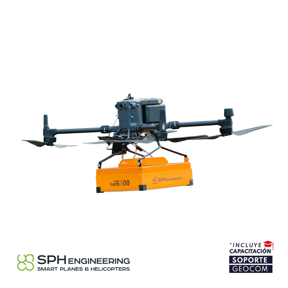
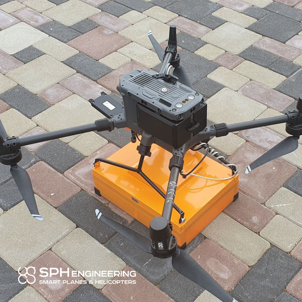
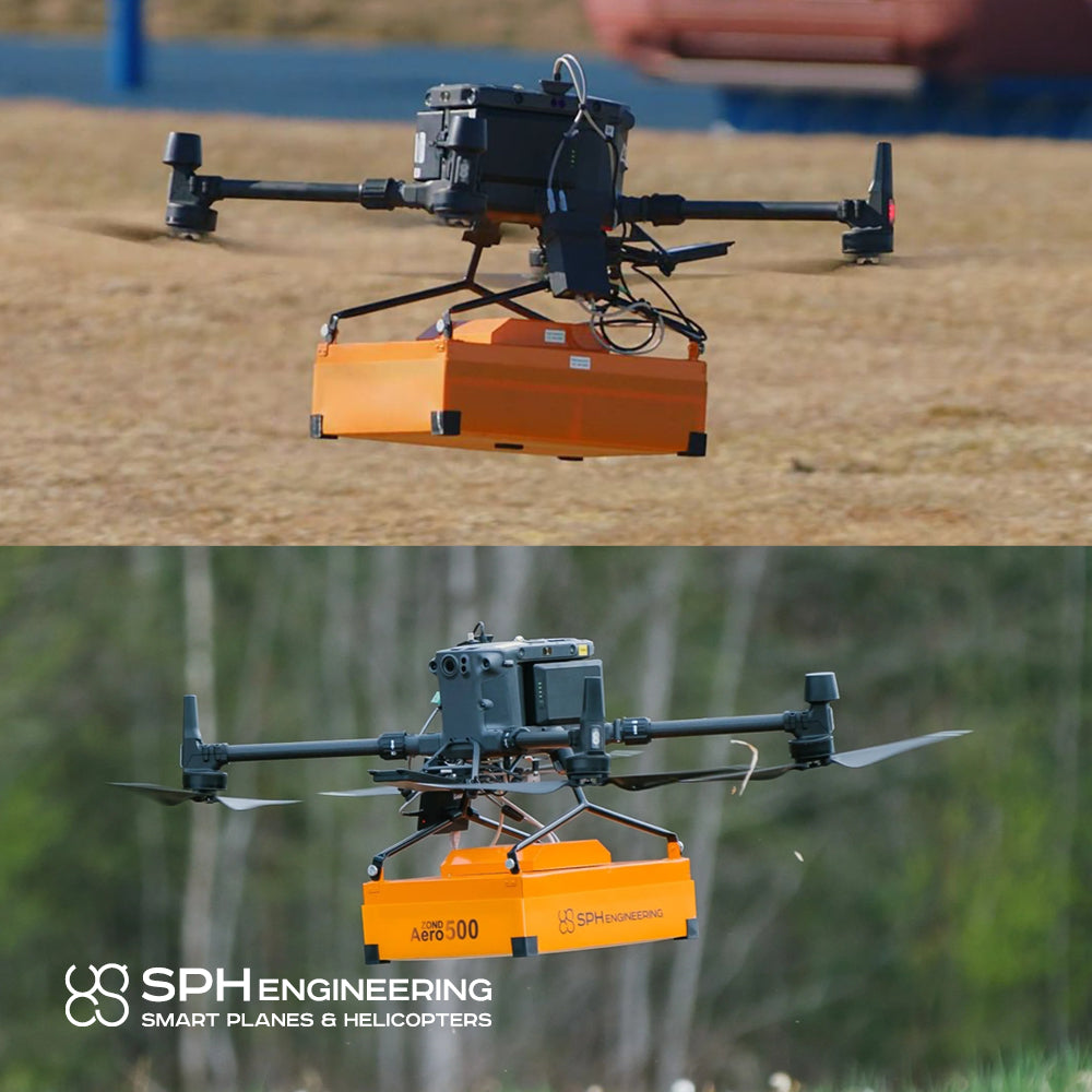
Integration with DJI Enterprise Matrice 300-350 RTK drone
Typically used underground, it can now be mounted on a professional DJI drone for increased productivity in various applications such as geotechnical surveys in mining, underground infrastructure, archaeology, glaciology, and even forensics.
Specifications
• RadSys Aero 500 GPR, carrying case, and mounts for DJI M300 –M350 RTK drone.
• SkyHub onboard computer
• Radar altimeter for terrain following
• Obstacle detection radar for DJI M300 RTK
• SkyHub software for GPR and terrain following
• Perpetual UgCS EXPERT license for 1 user
• Perpetual UgCS Mapper license for 1 user
Central Frequency, MHz:
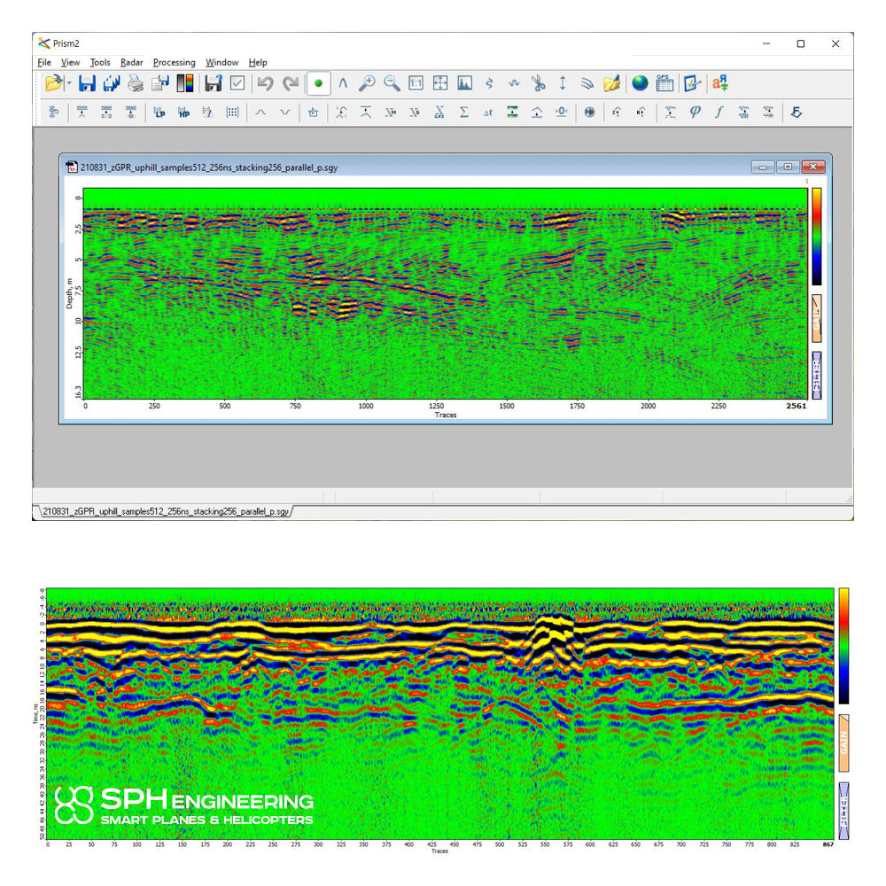
• Penetration from surface: 2 - 6 m
• Penetration from drone: 1 - 3 m
• Drone penetration in fresh water: 0.25 m
• Min. detectable object size below surface from recommended altitude: 10 cm
• Min. detectable "deep" object size from recommended altitude: 26 cm at 2 m
• Min. diameter of detectable conductive linear objects (e.g., water-filled metal pipe): 8 cm
• Min. size of detectable non-conductive linear objects (e.g., empty plastic pipe): 10 cm

He also takes
-
Consulting
Our team is ready to help you overcome any challenge in your projects. We have specialists with real technical training, who will guide you to integrate the exact solution your operation needs. Get advice from us via WhatsApp here
-
After-sales (Support and Technical Service)
We provide immediate technical support through our engineers to advise you on using your equipment to its maximum potential. Contact us to schedule your Technical Support via WhatsApp, or visit our Specialized Support portal to resolve operational queries.
-
News
Always stay one step ahead with the latest innovations in geospatial technology. Learn about new product launches, exclusive events, and technical talks designed to optimize your solutions. Discover all our news on the GEOCOM Blog