Excellent and unmatched long-range performance

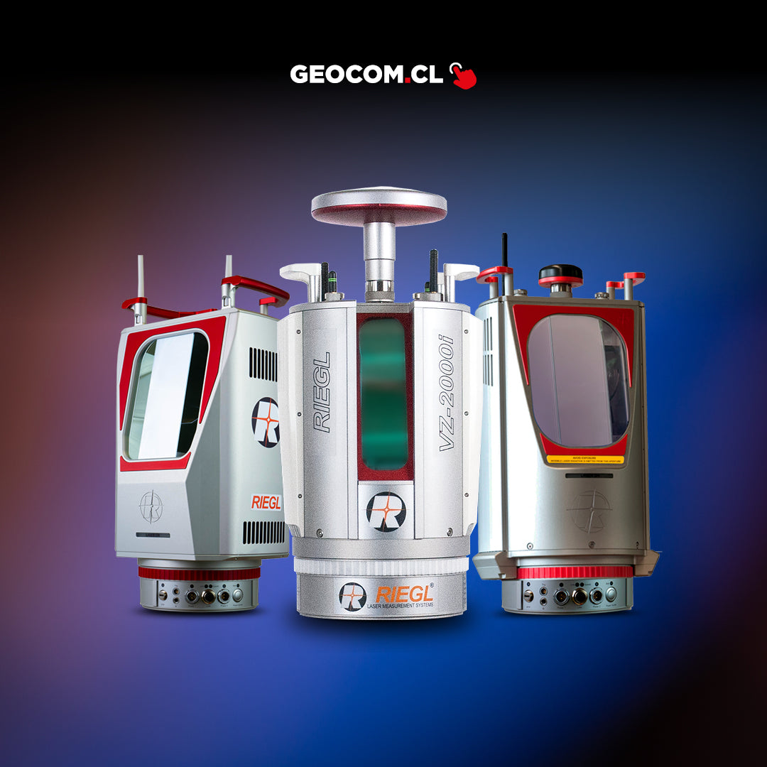
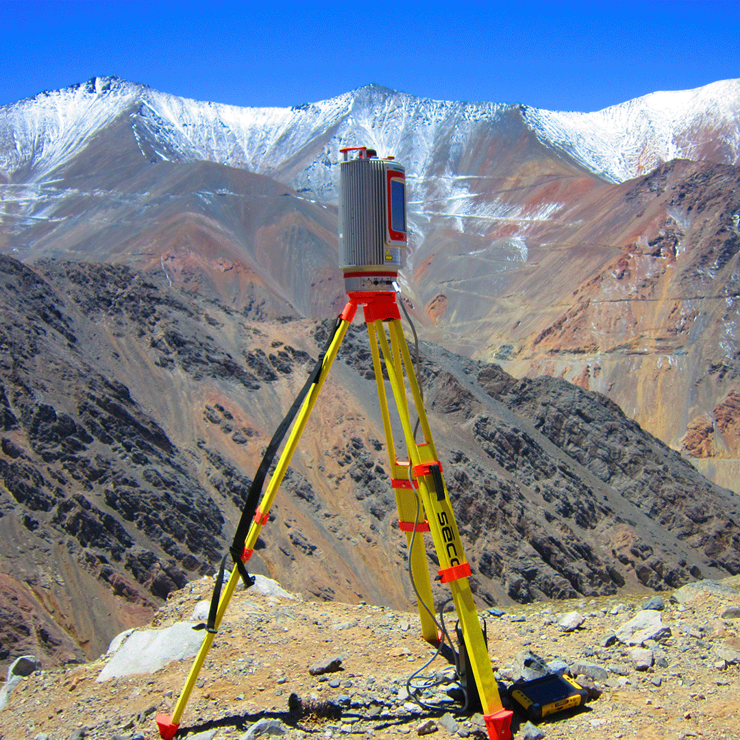
VZ-4000 Laser Scanner
EXCELLENT AND UNRIVALLED LONG-RANGE PERFORMANCE
The RIEGL VZ-4000 laser scanner offers superior long-range measurement performance, up to 4000 meters, while maintaining completely safe operation (Class 1 laser).
Datasheet
Characteristics
Specifications
Typical Applications
Video
He also takes
-
Consulting
Our team is ready to help you overcome any challenge in your projects. We have specialists with real technical training, who will guide you to integrate the exact solution your operation needs. Get advice from us via WhatsApp here
-
After-sales (Support and Technical Service)
We provide immediate technical support through our engineers to advise you on using your equipment to its maximum potential. Contact us to schedule your Technical Support via WhatsApp, or visit our Specialized Support portal to resolve operational queries.
-
News
Always stay one step ahead with the latest innovations in geospatial technology. Learn about new product launches, exclusive events, and technical talks designed to optimize your solutions. Discover all our news on the GEOCOM Blog