

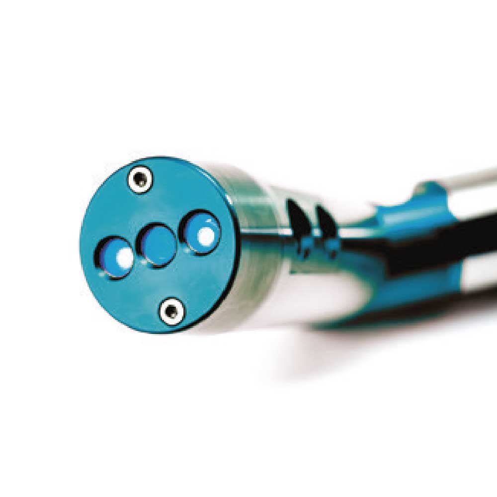
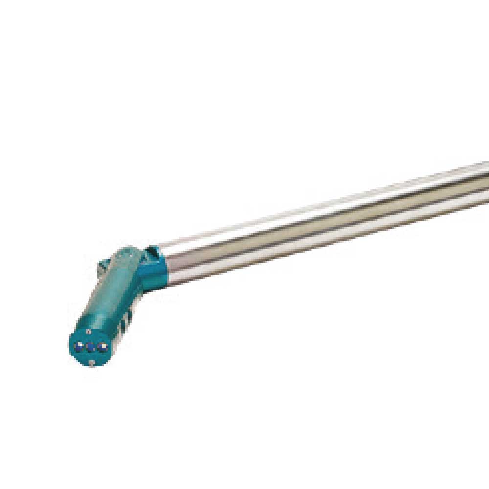
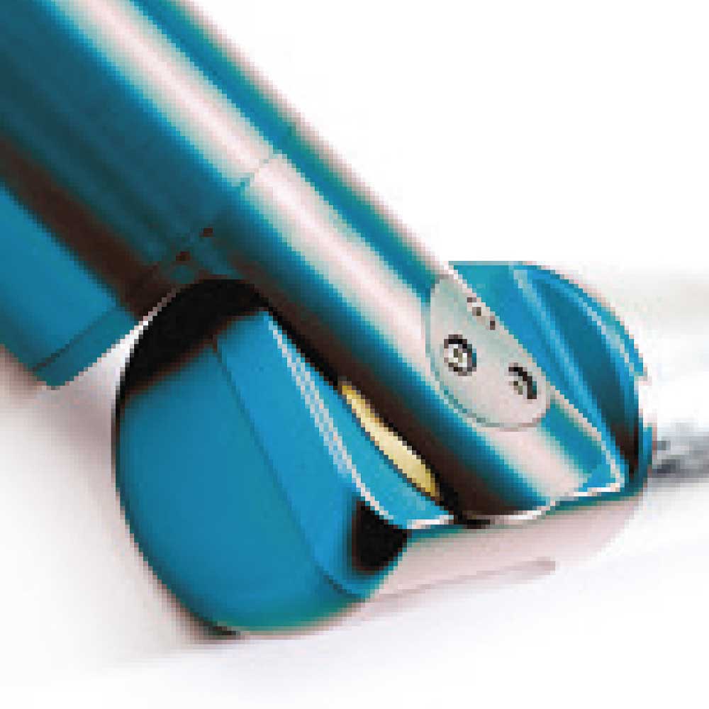
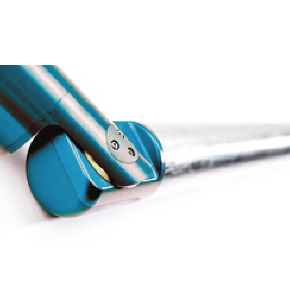

C-Als Gyro Laser Scanner
ASSESS RISKS, DESIGN SOLUTIONS BASED ON ACCURATE DATA, ADD C-ALS DATA TO YOUR MAPPING, AND DEVELOP NEW WORK PROGRAMS
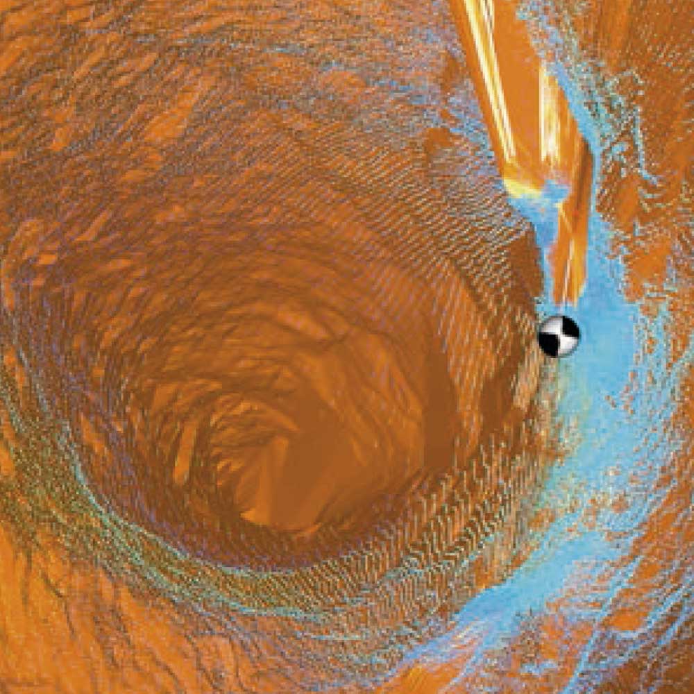
The C-ALS Gyro system allows for laser scanning of cavities to create georeferenced 3D models of underground conditions, serving as a cost-effective alternative and enhancing site safety.
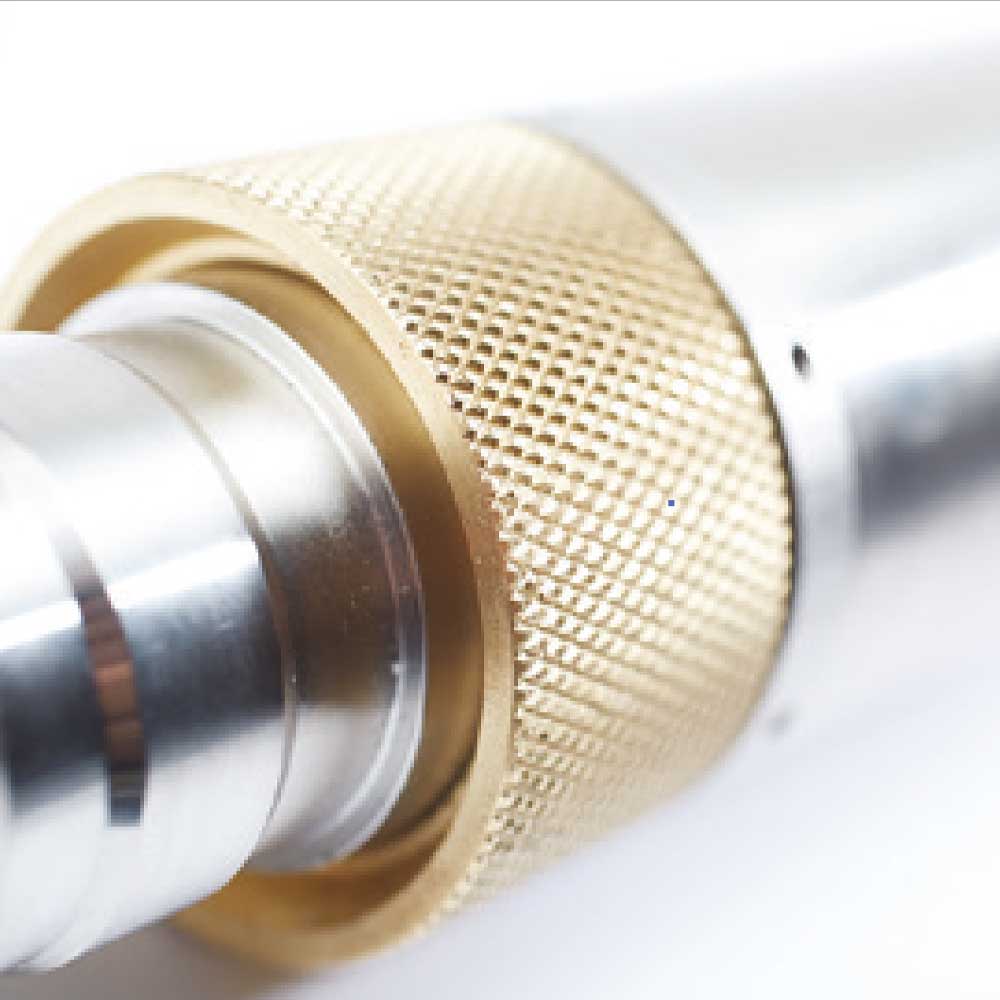
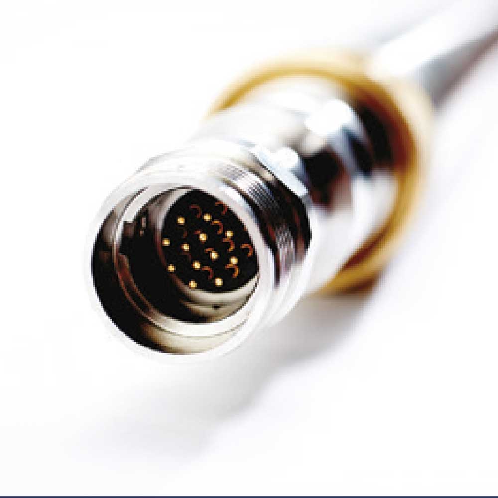
With a diameter of just 5 cm, the C-ALS Gyro is designed to be deployed through boreholes and cavities.
Its built-in monochrome camera allows for visualization of the entire journey through the borehole being explored, enabling the capture of photos and videos of the traverse.
DOWNLOAD DATASHEET
He also takes
-
Consulting
Our team is ready to help you overcome any challenge in your projects. We have specialists with real technical training, who will guide you to integrate the exact solution your operation needs. Get advice from us via WhatsApp here
-
After-sales (Support and Technical Service)
We provide immediate technical support through our engineers to advise you on using your equipment to its maximum potential. Contact us to schedule your Technical Support via WhatsApp, or visit our Specialized Support portal to resolve operational queries.
-
News
Always stay one step ahead with the latest innovations in geospatial technology. Learn about new product launches, exclusive events, and technical talks designed to optimize your solutions. Discover all our news on the GEOCOM Blog
