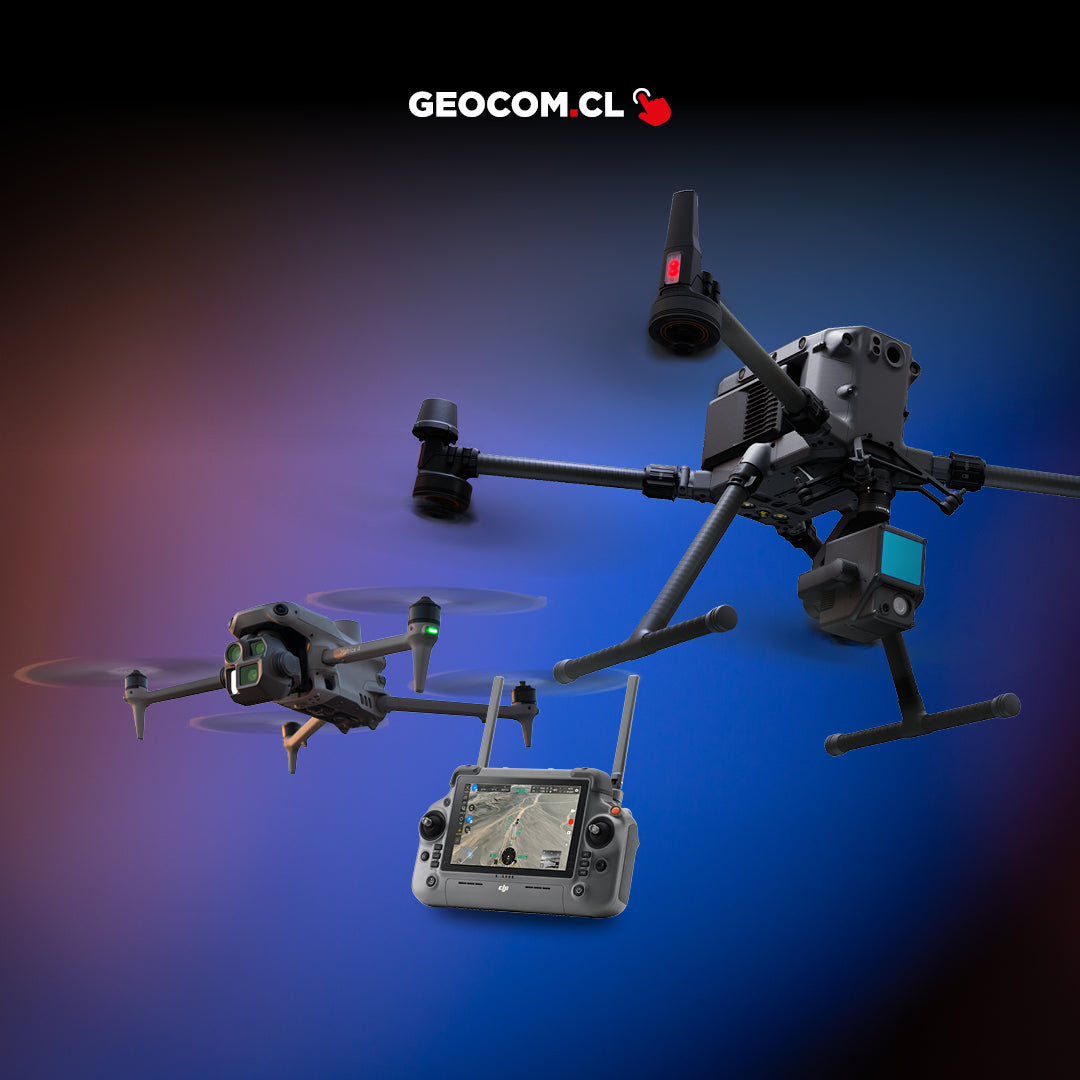
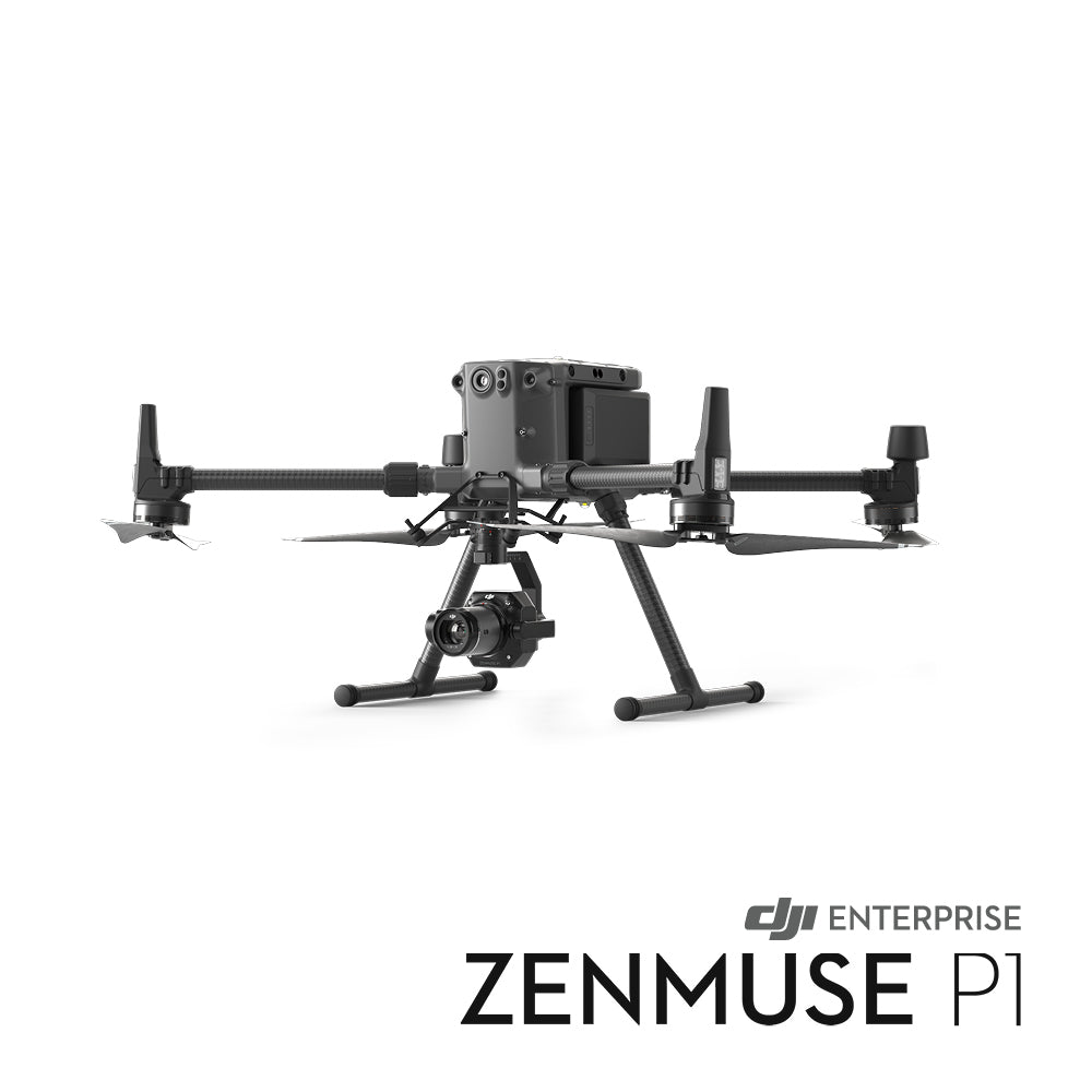
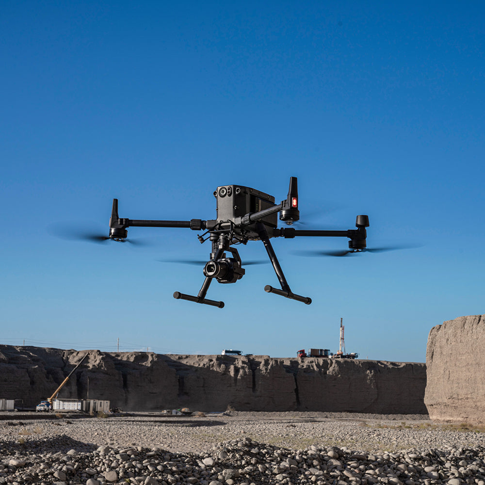

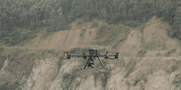
DJI Zenmuse P1
![]()
THE NEW BENCHMARK FOR AERIAL SURVEYING
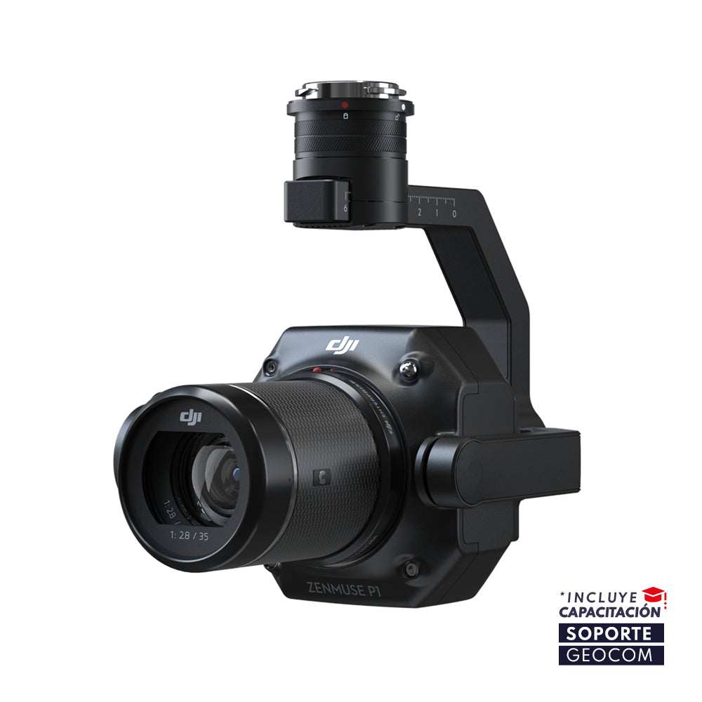
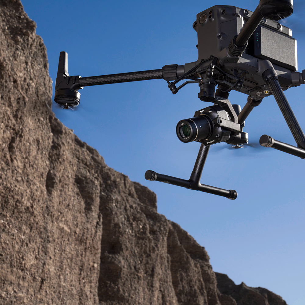
The Zenmuse P1 is a powerful camera specialized in data collection for photogrammetry. This camera features a 45-megapixel full-frame sensor with a 35mm lens, which, together with the different flight strategies offered by the DJI Pilot planning software, has facilitated the acquisition of 3D models with a high level of detail and densification, as well as orthophotos with unparalleled resolution and quality.
Efficiency and flexibility to capture it all: Zenmuse P1 integrates a full-frame sensor with interchangeable fixed-focus lenses on a 3-axis stabilized gimbal. Designed for photogrammetry flight missions, it takes efficiency and accuracy to a whole new level.
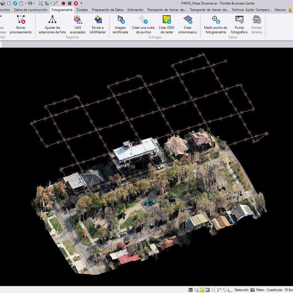
Extraordinary Efficiency: P1 includes a high-sensitivity, low-noise, full-frame sensor, which can take a photo every 0.7s during flight and cover 3 km2 in a single flight.
Remarkable Accuracy: Equipped with a global mechanical shutter and the new TimeSync 2.0 system, which synchronizes time between modules at a microsecond level, P1 allows users to capture data with centimeter-level accuracy combined with real-time position and orientation compensation technology.
Robust Versatility: Create 2D, 3D, and detailed models thanks to the integrated 3-axis gimbal that can be equipped with 24/35/50 mm lenses and the smart oblique capture function.
Smart Oblique Capture: Cover up to 7.5 km2 in a single workday with the P1. Elevate the efficiency of your oblique photography mission with Smart Oblique Capture, where the gimbal automatically rotates to take photos at different required angles. Only essential photos for reconstruction will be taken at the edge of the flight area, increasing post-processing efficiency by 20% to 50%.
Field Work Report: Verify data quality immediately after the flight by checking position data and the number of acquired images, as well as RTK status and positioning accuracy.
Application Fields: Topographic Mapping, Cadastral Surveying, AEC and Surveying, Natural Resource Management, Geological Research, Disaster Site Modeling.
⨭Accuracy without GCPs: 3 cm horizontal / 5 cm vertical
⨭Scalable and flexible accuracy level based on subscription
⨭High Efficiency: 3 km2 covered in a single flight
⨭45 MP full-frame sensor
⨭3-axis stabilizer
⨭Global mechanical shutter - Shutter speed 1/2000 seconds
⨭Built-in 35mm lens
⨭Optional 24 and 50mm lenses

He also takes
-
Consulting
Our team is ready to help you overcome any challenge in your projects. We have specialists with real technical training, who will guide you to integrate the exact solution your operation needs. Get advice from us via WhatsApp here
-
After-sales (Support and Technical Service)
We provide immediate technical support through our engineers to advise you on using your equipment to its maximum potential. Contact us to schedule your Technical Support via WhatsApp, or visit our Specialized Support portal to resolve operational queries.
-
News
Always stay one step ahead with the latest innovations in geospatial technology. Learn about new product launches, exclusive events, and technical talks designed to optimize your solutions. Discover all our news on the GEOCOM Blog