


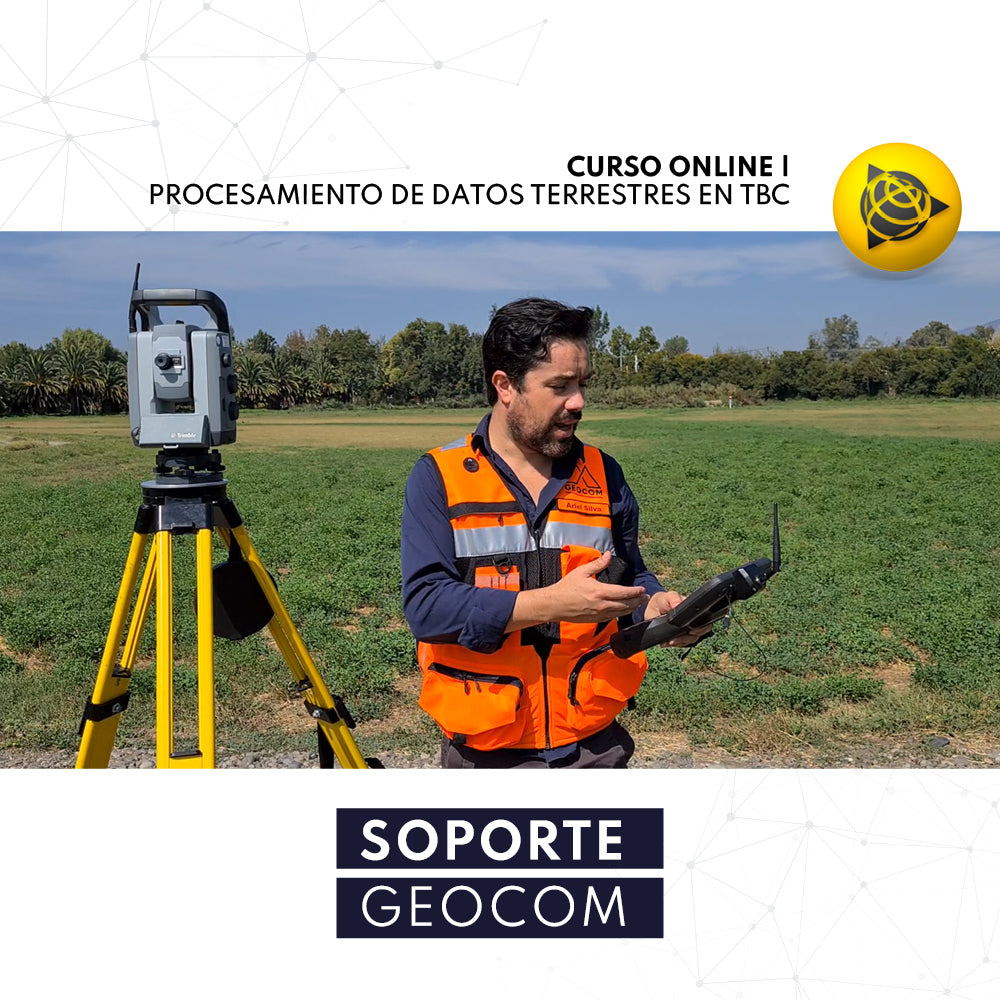

Online Course | Terrestrial Data Processing in TBC
Terrestrial observations, specifically total station and automatic digital levels, provide crucial evidence for densifying local coordinate systems. Leveling observations produced by a digital level can be adjusted according to the establishment of vertical networks for different purposes. The same applies to total station observations: high-precision traverses for underground works or local networks are just some examples where detailed analysis is required to obtain high-precision coordinates.
Aimed at Engineers with a specialization in geodesy and topography, Surveyors, or any professional with an understanding of precise positioning for engineering.
He also takes
-
Consulting
Our team is ready to help you overcome any challenge in your projects. We have specialists with real technical training, who will guide you to integrate the exact solution your operation needs. Get advice from us via WhatsApp here
-
After-sales (Support and Technical Service)
We provide immediate technical support through our engineers to advise you on using your equipment to its maximum potential. Contact us to schedule your Technical Support via WhatsApp, or visit our Specialized Support portal to resolve operational queries.
-
News
Always stay one step ahead with the latest innovations in geospatial technology. Learn about new product launches, exclusive events, and technical talks designed to optimize your solutions. Discover all our news on the GEOCOM Blog
