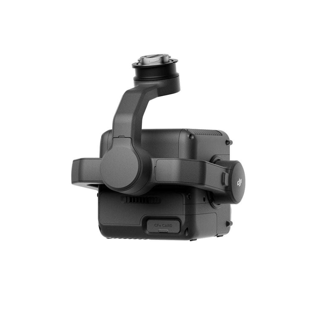
Ve mucho más allá, más lejos y con más precisión con el primer sistema LiDAR aéreo de largo alcance de 1535 nm y cámara dual RGB de 100 MP

DJI Zenmuse L3 LiDAR
DJI's first long-range, high-precision aerial LiDAR system
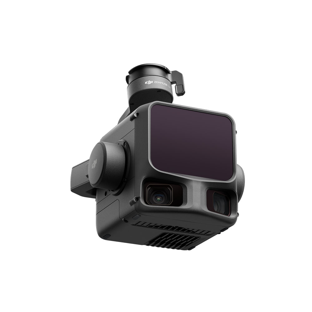
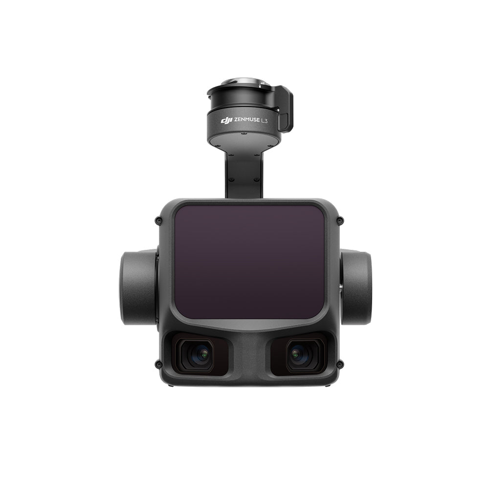
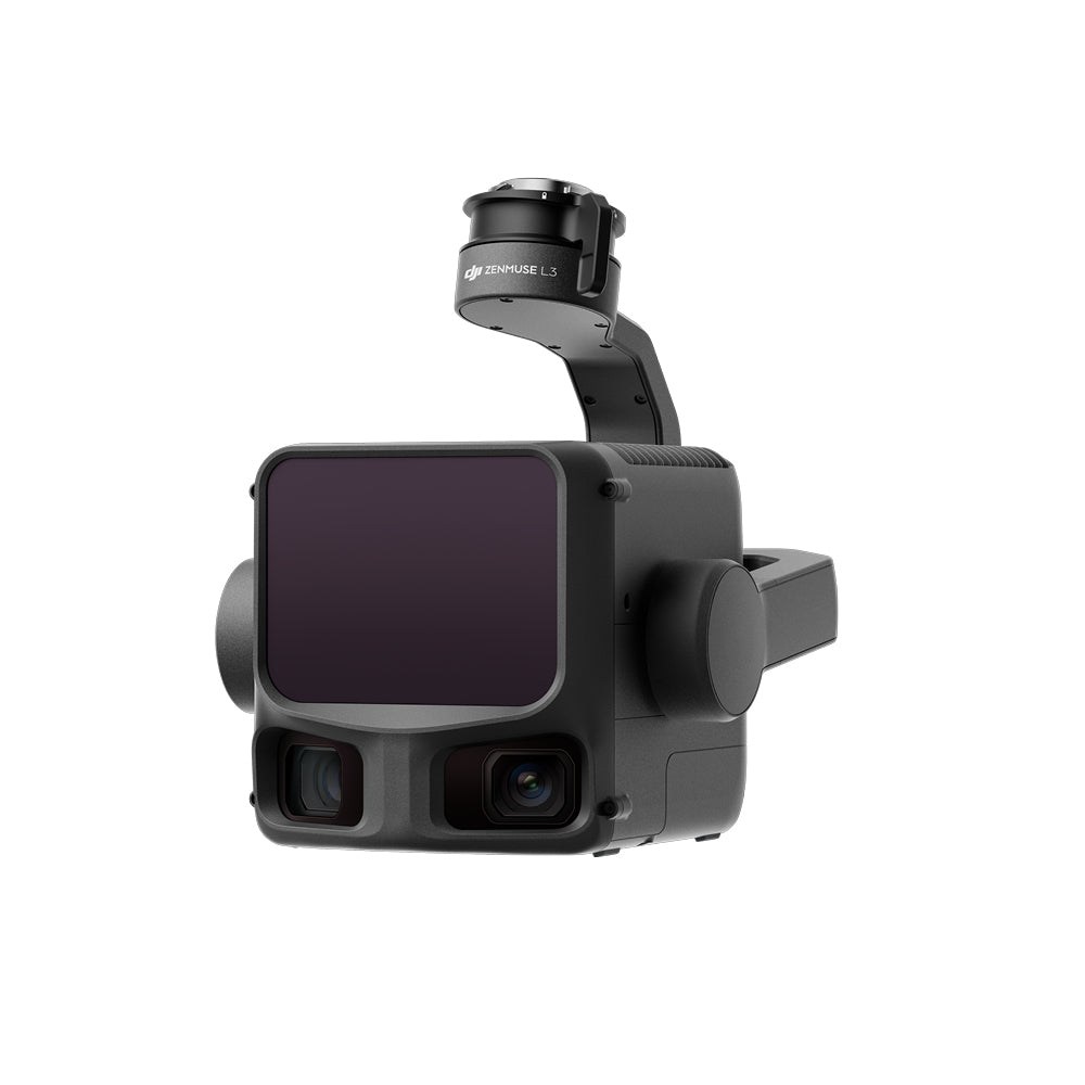
DJI's new generation high-precision aerial LiDAR system incorporates a long-range laser capable of reaching up to 950m, even on objects with only 10% reflectivity. Two 100MP RGB mapping cameras and a high-precision POS system accelerate geospatial data acquisition, allowing for daily coverage of up to 100 km.
High-Precision, Long-Range LiDAR up to 950m
The Zenmuse L3 LiDAR system achieves a detection range of 950 m at a pulse rate of 100 kHz, tested under 100 klx ambient light and on objects with 10% reflectivity. This pulse rate is adjustable, allowing for flexible output power and optimal adaptation to various operational scenarios.
The self-developed LiDAR offers a ranging repeatability of 5 mm at 150 m (1σ) and supports microsecond-level time synchronization. Mapping projects at scales of 1:500, 1:1000, and 1:2000 can be executed thanks to significant improvements in vertical accuracy (3 cm at 120 m, 5 cm at 300 m, and 10 cm at 500 m). It can accurately detect smaller objects, such as power lines and branches, with a laser beam divergence of only 0.25 mrad (1/e²) -- the spot size at the same distance is approximately one-fifth of the Zenmuse L2.
Dual 100MP RGB Mapping Camera System
Equipped with dual 100MP 4/3 CMOS RGB sensors and a mechanical shutter, the Zenmuse L3 offers significantly improved accuracy and efficiency. It can achieve a Ground Sample Distance (GSD) of 3 cm, even at a flight altitude of 300 m. Furthermore, the dual RGB mapping cameras provide a horizontal Field of View (FOV) of up to 107°, allowing each capture to cover a larger area.
High Pulse Rate and Multiple Returns for Superior Penetration Capability
Highly accurate spatial reconstructions can be generated with its maximum laser pulse emission frequency of 2 million points per second and support for up to 16 returns. With significant hardware improvements, the Zenmuse L3 now supports a Star-Shaped scanning mode that balances precision with multiple scanning angles. The penetration capability is especially suitable for terrain mapping in dense forests and urban environments, capturing more ground points with greater completeness, significantly improving the accuracy and integrity of terrain data for precise surface fitting and reconstruction.
High Efficiency, Covering up to 100 km² Per Day
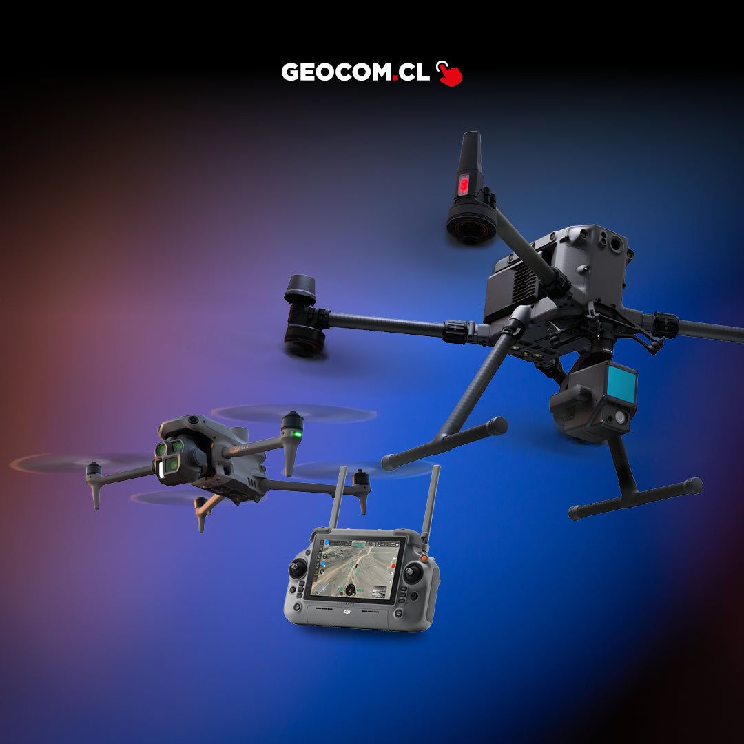
When mounted on the DJI Matrice 400, the Zenmuse L3 offers exceptional efficiency. At a typical flight altitude of 300 m, a single flight can cover up to 10 km², allowing for up to 100 km² of daily coverage. Additionally, it can capture LiDAR and RGB data simultaneously to generate a variety of mapping deliverables from a single flight, including digital orthophoto maps (DOM) and digital elevation models (DEM), and more -- even with a LiDAR side overlap ratio of 20%.
Seamless Integrated Solution
The Zenmuse L3 seamlessly integrates with the DJI ecosystem to deliver a comprehensive mapping solution. This includes the D-RTK 3 Multifunctional Station, DJI Pilot 2, DJI Terra, DJI Modify, and DJI FlightHub 2. From data acquisition and processing to application, this unified workflow is simpler to operate and easier to master than traditional multi-platform setups, helping users efficiently complete a wide range of mapping tasks.
Long-range LiDAR up to 950m
- Laser wavelength: 1535 nm
- Maximum detection range: 950 m (center), 650 m (edge) at 10% reflectivity
- Maximum scanning FOV: 80° × 80°
- Laser beam divergence: 0.25 mrad (1/e²)
- Ranging accuracy: absolute accuracy ±10 mm, repeatability <5 mm (1σ), at 300 m with 80% reflectivity
Dual 100 MP RGB mapping camera system
- Horizontal FOV: 107°
- Two RGB mapping cameras with 4/3 CMOS: Support 100 MP or 25 MP resolution
- Minimum interval between photos: 0.5 s (25 MP), 1 s (100 MP)
High accuracy
- Vertical accuracy: 3 cm; Horizontal accuracy: 4 cm (at 120 m)
- Vertical accuracy: 5 cm; Horizontal accuracy: 7.5 cm (at 300 m)
- High-precision POS system: yaw accuracy: 0.02°; pitch/roll accuracy: 0.01° (RMS 1σ, post-processed)
High penetration
- Adjustable laser pulse emission energy
- Supports up to 16 returns
- Supports linear, star-shaped, and non-repetitive scanning modes
Up to 100 km² per day
- Single flight coverage area of up to 10 km² at a typical operational altitude of 300 m (nadir)
- Daily coverage area of up to 100 km² at a typical operational altitude of 300 m (nadir)
- DEM and DOM generation in a single flight
Comprehensive solution
- Data acquisition, processing, and application
- 3D reconstruction based on LiDAR and RGB fusion
- Gaussian splatting for LiDAR reconstruction
- Point cloud semantic segmentation
- Supports various output formats, such as DEM, TIN, point grids, and contours.


Characteristics
Specifications
Video
He also takes
-
Consulting
Our team is ready to help you overcome any challenge in your projects. We have specialists with real technical training, who will guide you to integrate the exact solution your operation needs. Get advice from us via WhatsApp here
-
After-sales (Support and Technical Service)
We provide immediate technical support through our engineers to advise you on using your equipment to its maximum potential. Contact us to schedule your Technical Support via WhatsApp, or visit our Specialized Support portal to resolve operational queries.
-
News
Always stay one step ahead with the latest innovations in geospatial technology. Learn about new product launches, exclusive events, and technical talks designed to optimize your solutions. Discover all our news on the GEOCOM Blog