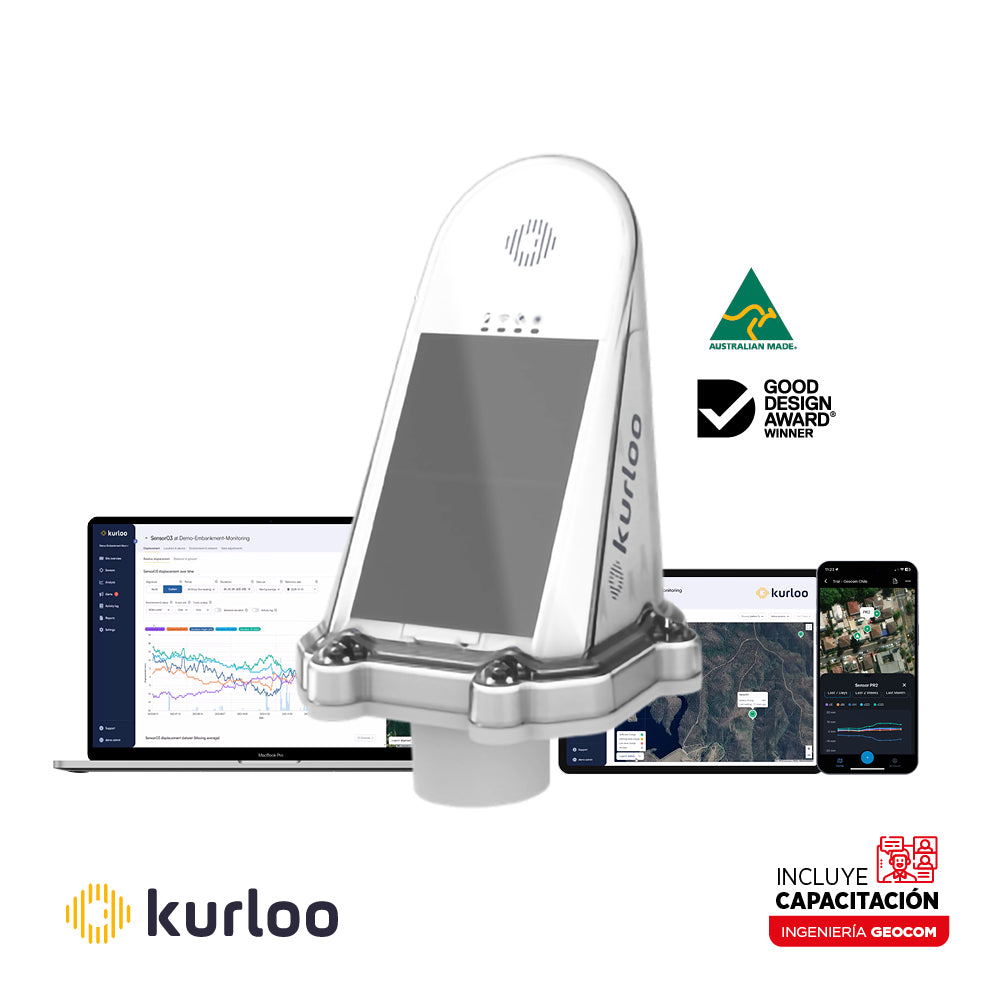
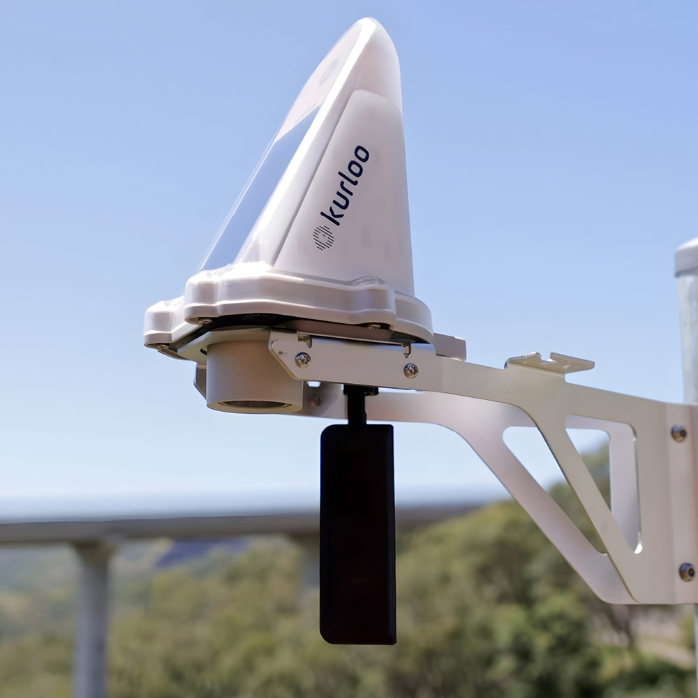

Kurloo GNSS Geomonitoring System
COMPREHENSIVE AUTOMATED GNSS DISPLACEMENT MONITORING SYSTEM
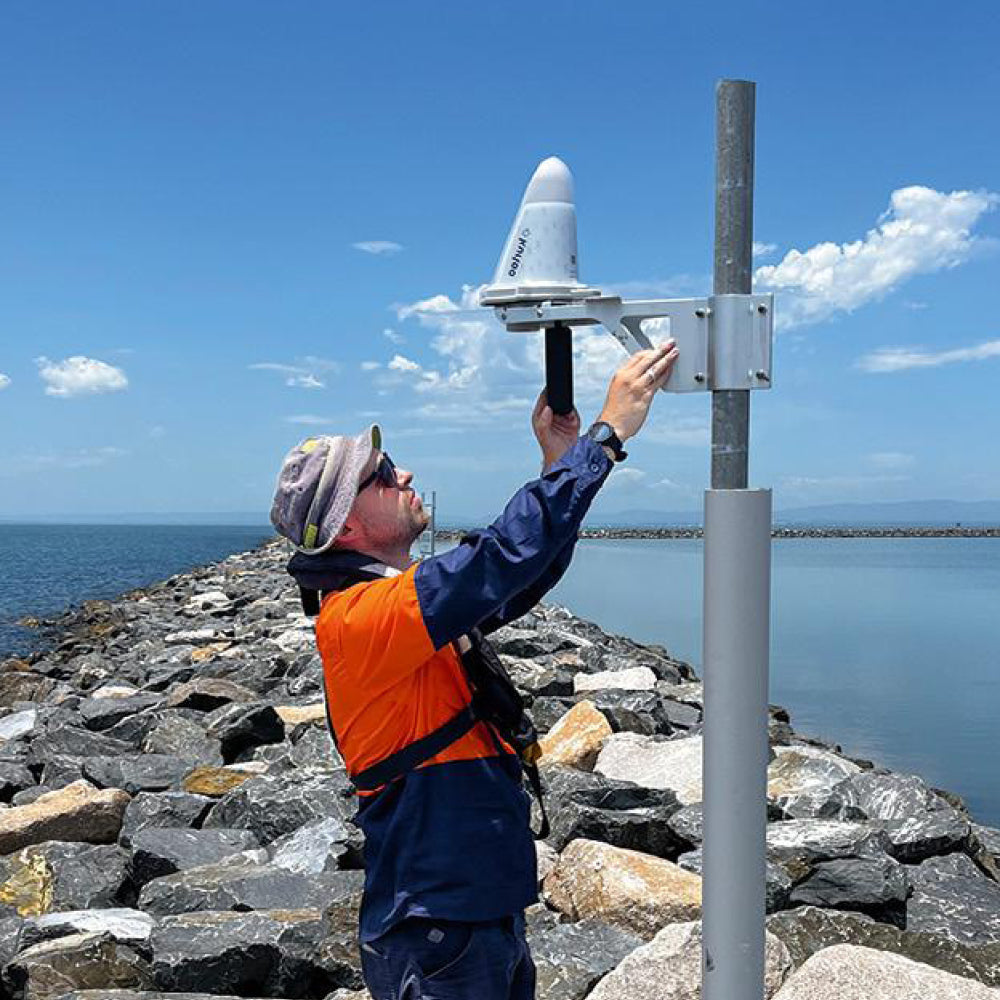
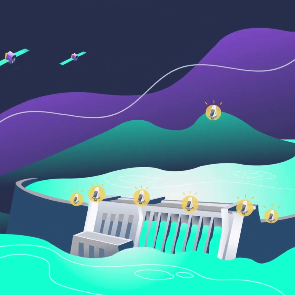
Kurloo offers a comprehensive autonomous GNSS geomonitoring system that includes power, communications, and an advanced automated GNSS data processing engine, allowing for rapid deployment, reduced operating costs, and continuous geomonitoring without the need for complex field configurations and software.
Designed for critical applications in mining, construction, and infrastructure under the QTR (Quasi Real-Time) concept, Kurloo, through its Kurloo NEST platform, provides precise data, traceability, rapid visualizations, reports, and automatic alarms.
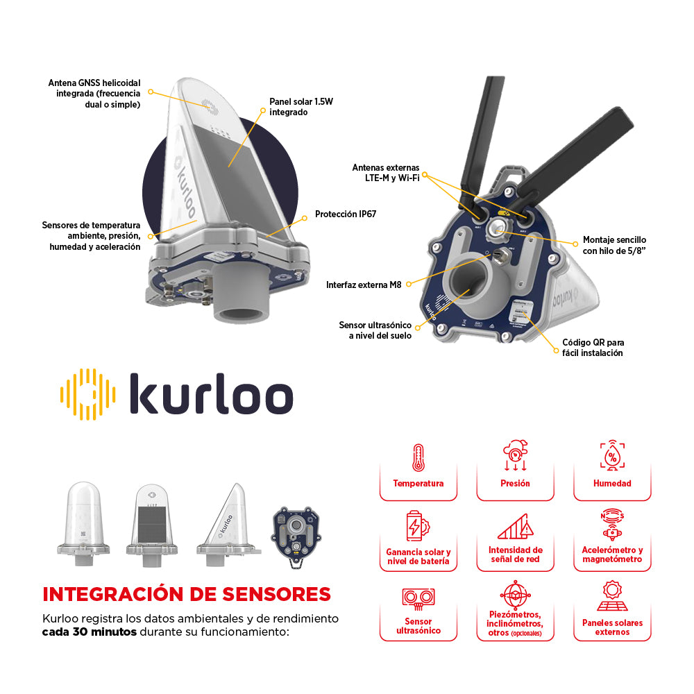
⨮ Sensor Integration
Kurloo records environmental and performance data every 30 minutes during operation: Temperature, Pressure, Humidity, Solar gain and battery level, Network signal strength, Accelerometer and magnetometer, Ultrasonic sensor, External solar panels and optional sensors such as: Piezometers, Inclinometer, among others.
⨮ Economical and Flexible
The low daily unit cost makes Kurloo more economical to scale operations up or down as needed.
⨮ Autonomous
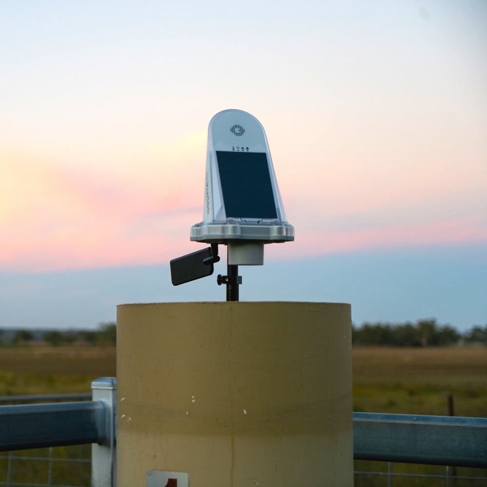
Simple to install, Kurloo operates autonomously to eliminate the need for frequent visits.
⨮ Frequent and Connected
Enables frequent measurements at your preferred rate with practically instantaneous results.
⨮ GNSS Signal Tracking:
- M2 Model: L1 (GPS, Galileo, Beidou)
- F2 Model: L1&L2 (GPS, GLONASS, Galileo, Beidou, QZSS)
⨮ Horizontal Accuracy: 2 mm + 0.5 ppm
⨮ Vertical Accuracy: 3 mm + 1.0 ppm
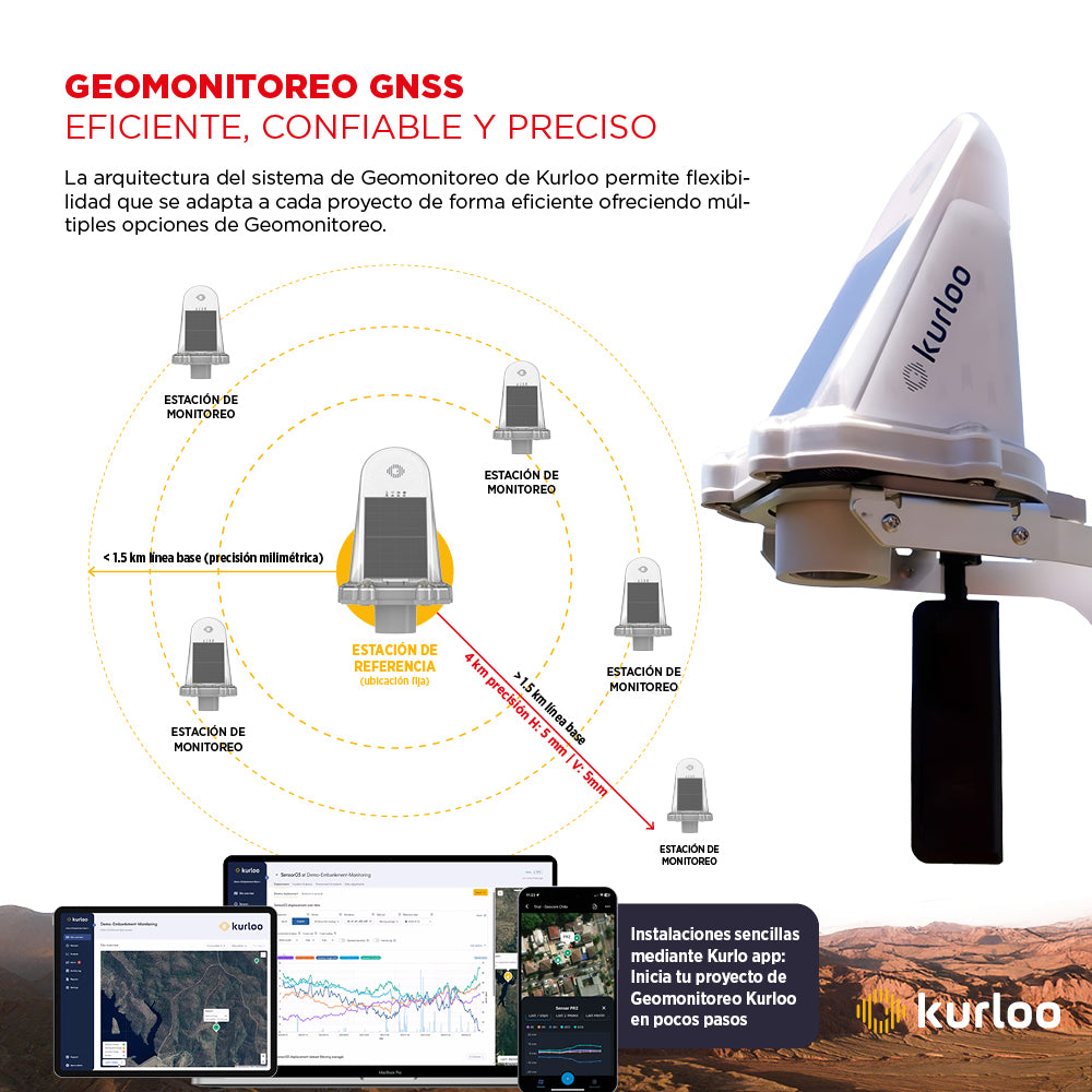
⨮ Standard Accuracy for 6 hours: ~4 km baseline with accuracy H: ~5 mm, V: 5 mm
⨮ Solution Intervals: QTR (quasi real-time) with minimum tracking intervals of 1 hour, customizable
⨮ Power System:
- 46 Wh LFP (LiFePO4) rechargeable battery
- 1.5 W integrated solar panels
- 5-12V @ 2A external input
⨮ Communications:
- LTE-M - 4G LTE
- WiFi (optional)
- Serial RS485
⨮ Memory: 32 GB internal storage
⨮ Operating Range:
- Temperature: -10°C to +60°C
- Humidity: 90% (non-condensing)
- Protection: IP67 (dust resistant, submersible up to 1 meter for 30 minutes)

He also takes
-
Consulting
Our team is ready to help you overcome any challenge in your projects. We have specialists with real technical training, who will guide you to integrate the exact solution your operation needs. Get advice from us via WhatsApp here
-
After-sales (Support and Technical Service)
We provide immediate technical support through our engineers to advise you on using your equipment to its maximum potential. Contact us to schedule your Technical Support via WhatsApp, or visit our Specialized Support portal to resolve operational queries.
-
News
Always stay one step ahead with the latest innovations in geospatial technology. Learn about new product launches, exclusive events, and technical talks designed to optimize your solutions. Discover all our news on the GEOCOM Blog