


Versatility in the palm of your hand

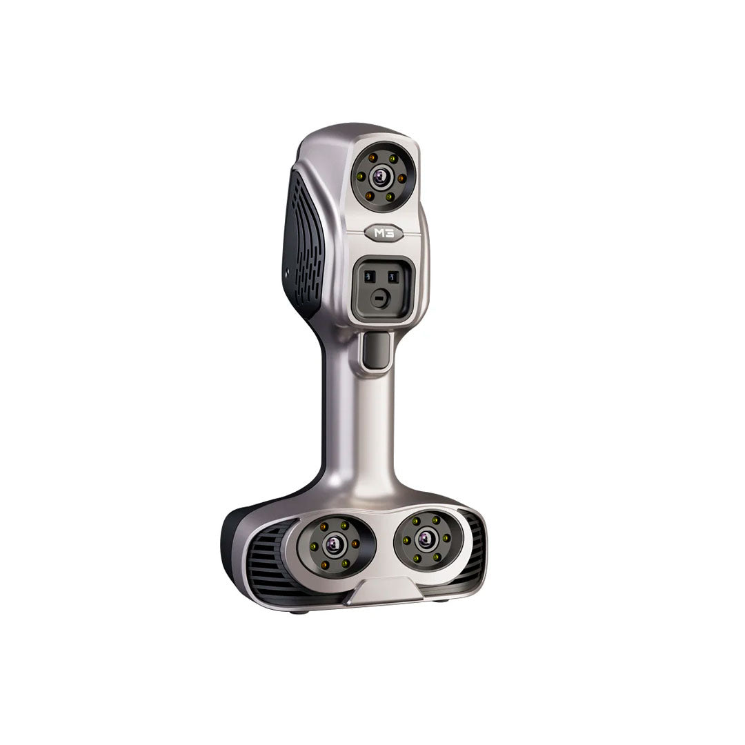
Scantech iReal M3 3D Scanner

VERSATILITY IN THE PALM OF YOUR HAND
Professional 3D scanner with dual, safe, and comfortable light
High-quality data capture
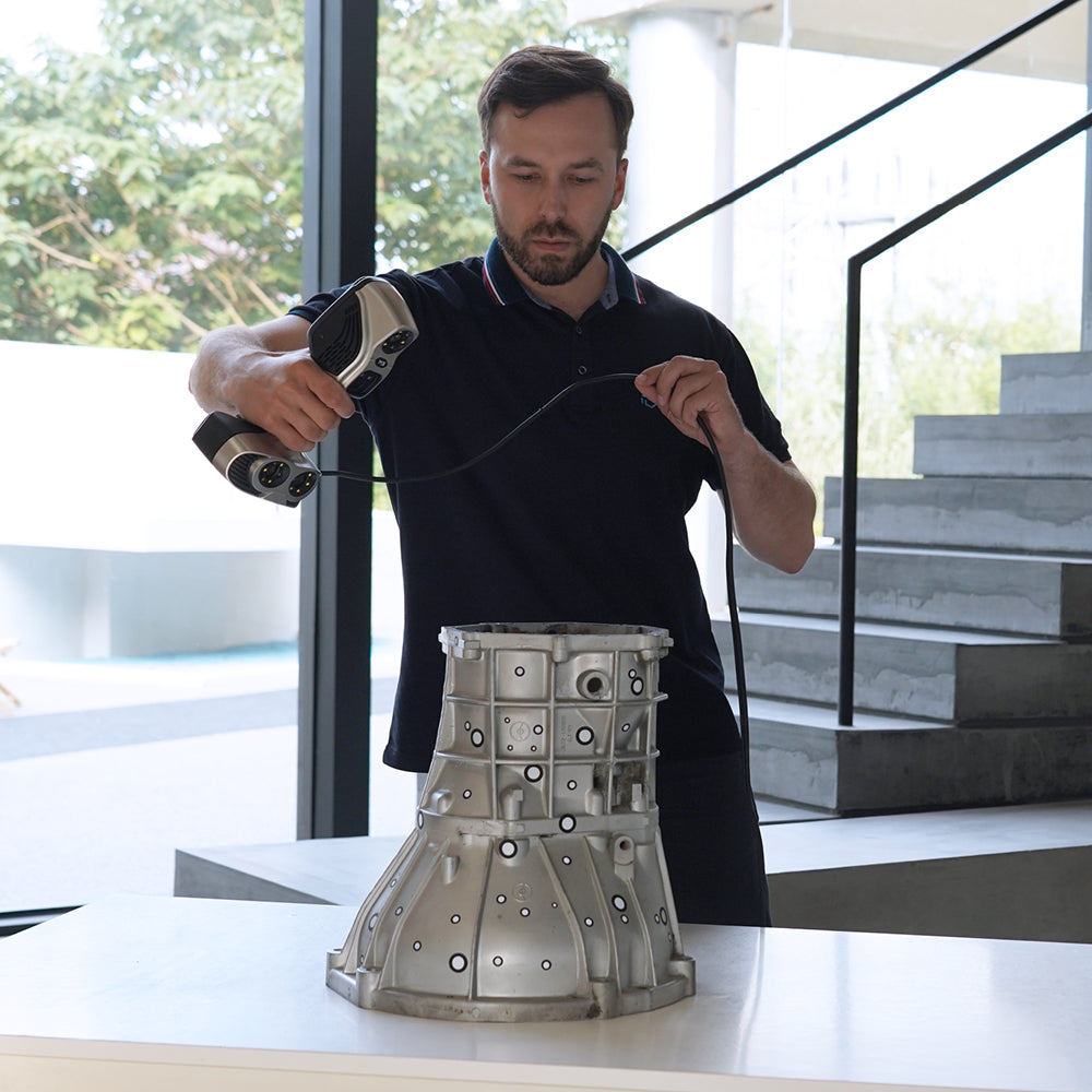
The iReal M Series 3D scanner is a new series of professional 3D scanners from Scantech, with dual infrared laser and color scanning.
Safe and very easy to use, its structured light and infrared laser modalities allow for smooth 3D data acquisition in different applications, whether scanning people or objects, indoors or outdoors.
iReal M is a highly productive professional 3D digitization solution for 3D engineers, 3D designers, and scientific researchers.
⨭Dimensions: 140×94×258 mm
⨭Weight: 856 g
⨭Certifications: CE-EMC, CE-LVD, FCC, RoHS, EN 60825, EN 62471, WEEE
⨭Class 1 Laser Certified EN 60825 (eye-safe)
⨭Dual Infrared Laser: 7 Parallel Infrared Laser Lines
⨭Optimal scanning distance range: 300-650 mm (effective between 280-1000 mm)
⨭Scanning speed: Up to 60 FPS
⨭Accuracy: Up to 0.1 mm
⨭Volumetric accuracy: Up to 0.25 mm/m
⨭Deliverable format: *.obj, *.stl, *.ply, *.asc, *.mk2, *.txt, *.epj, *.apj, *.spj, *.sk
⨭Suitable for 3D printing
⨭Suitable for outdoor scanning (temperatures between -10~40℃)
⨭Suitable for various materials (including dark and reflective surfaces)

Characteristics
Specifications
Specialized Software
Video
Includes:

He also takes
-
Consulting
Our team is ready to help you overcome any challenge in your projects. We have specialists with real technical training, who will guide you to integrate the exact solution your operation needs. Get advice from us via WhatsApp here
-
After-sales (Support and Technical Service)
We provide immediate technical support through our engineers to advise you on using your equipment to its maximum potential. Contact us to schedule your Technical Support via WhatsApp, or visit our Specialized Support portal to resolve operational queries.
-
News
Always stay one step ahead with the latest innovations in geospatial technology. Learn about new product launches, exclusive events, and technical talks designed to optimize your solutions. Discover all our news on the GEOCOM Blog

