Skip to content
  • Facebook
  • Instagram
  • YouTube
  • TikTok
  • LinkedIn

Welcome to our new website

October 8, 2026. Geospatial Seminar. Visit us!

Contact us via WhatsApp here

  • Products
  • Areas
  • We
  • News
  • Contact
Login
  • Facebook
  • Instagram
  • YouTube
  • TikTok
  • LinkedIn
Search
Geocom
  • Products Products
  • Areas Areas
  • WeWe
  • NewsNews
  • ContactContact
Search Login Cart 0
Cart

Your cart is currently empty.

  • Continue shopping
    Tax included and shipping calculated at checkout
    Subtotal
    0 CLP
    View cart
    Search

    Usamos cookies

    El sitio de GEOCOM utiliza cookies para ofrecer una mejor experiencia de usuario y realizar análisis.

    Home Search Store 0 Cart Login
    Aplitop TcpMDT Software
    Aplitop TcpMDT Software

    Management of coded points, measured with GNSS or total stations

    Aplitop TcpMDT Software

    TCP MDT

    It is a complete and modular surveying and civil engineering software solution developed to work in a CAD environment.

    Supported CAD AutoCAD, BricsCAD and ZWCAD.

    Advantages of TcpMDT software:

    • Easy to learn.
    • Modular, scalable structure.
    • Permanent or annual licenses, according to user requirements.
    • Integrates powerful surveying and civil engineering tools in an environment familiar to users, such as CAD.

    BIM Support

    • IFC import and export.
    • APLITOP is actively collaborating with buildingSMART International for the development and implementation of IFC Alignment and IFC Road formats, which aim to facilitate data exchange in roads and other infrastructure projects following the BIM methodology.
    • For this reason, MDT8 can import files in IFC format (Industry Foundation Classes), of different versions, which can contain topographic surfaces, alignment in plan and elevation and roads (professional version only).

    PRODUCT FAMILY

    • MDT Surveying and Civil Engineering Projects (Standard, Professional and Surveying).
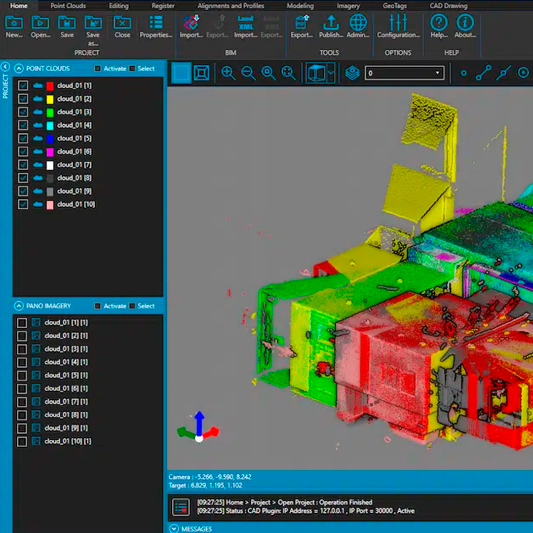
    • Processing of large point clouds MDT-Point Cloud.
    • Data acquisition and stakeout with GPS and ET TcpGPS and TcpET.
    • Digital images and photogrammetry TcpImage, TcpStereo, TcpUAV.
    • Processing of tunnel data, stakeout and monitoring TcpTunnel, TcpScancyr and TcpControl.


    DATA SHEET

    Formulario de cotización

    ¿Necesitas más información de un producto? ¿Quieres solicitar una demo? Completa el formulario con tus datos y nos pondremos en contacto.

    Characteristics

    TCP MDT
    It is a complete and modular solution of surveying and civil engineering tools developed to work in a CAD environment.

    Supported CADs AutoCAD, BricsCAD and ZWCAD.

    Advantages of TcpMDT software:

    • Easy to learn.
    • Modular, scalable structure.
    • Permanent or annual licenses, according to user requirements.
    • Integrates powerful surveying and civil engineering tools in an environment familiar to users, such as CAD.

    BIM support

    • IFC import and export.
    • APLITOP is actively collaborating with buildingSMART International for the development and implementation of IFC Alignment and IFC Road formats, which aim to facilitate data exchange in roads and other infrastructure projects following the BIM methodology.
    • For this reason, MDT8 can import files in IFC (Industry Foundation Classes) format, of different versions, which can contain topographic surfaces, plan and elevation alignments and roads (professional version only).

    PRODUCT FAMILY

    • MDT Surveying and Civil Engineering projects (Standard, Professional and Surveying).
    • MDT-Point Cloud large point cloud processing.
    • Data collection and staking out with GPS and ET TcpGPS and TcpET.
    • TcpImage, TcpStereo, TcpUAV digital imaging and photogrammetry.
    • Tunnel data processing, staking out and monitoring TcpTunnel, TcpScancyr and TcpControl.

    Video
    Download Datasheet

    He also takes


    Do you need help?
    • Consulting

      Our team is ready to help you overcome any challenge in your projects. We have specialists with real technical training, who will guide you to integrate the exact solution your operation needs. Get advice from us via WhatsApp here

    • After-sales (Support and Technical Service)

      We provide immediate technical support through our engineers to advise you on using your equipment to its maximum potential. Contact us to schedule your Technical Support via WhatsApp, or visit our Specialized Support portal to resolve operational queries.

    • News

      Always stay one step ahead with the latest innovations in geospatial technology. Learn about new product launches, exclusive events, and technical talks designed to optimize your solutions. Discover all our news on the GEOCOM Blog

    view more products from Aplitop
    WE
    • About us
    • Shipping and Warranties
    • Exchanges and Returns
    • Terms and Conditions
    • Whistleblowing Channel
    CONTACT

    Address | Av. Salvador 1105, Providencia.
    Phone | +562 2480 3600
    Email | ventas@geocom.cl

    GNSS and Optics Support | Whatsapp
    UAS Support |
    Whatsapp

    Geocom

    Subscribe to our newsletter

    • Facebook
    • Instagram
    • YouTube
    • TikTok
    • LinkedIn
    • Choosing a selection results in a full page refresh.
    • Opens in a new window.
    ¡Gracias por contactarte con nosotros! Soon an executive will contact you