Operating and processing software

RiSCAN PRO Software
Description
SOFTWARE THAT COMPLEMENTS RIEGL TERRESTRIAL LASER SCANNER SYSTEMS RiSCAN PRO is project-oriented, meaning all data acquired during a measurement campaign is organized and saved within the RiSCAN PRO project structure.
This data includes scans, detail scans, digital images, GNSS data, control point coordinates, and reflector coordinates; all linked by transformation matrices necessary to combine data from various scanner positions into a common reference system. RiSCAN PRO is designed to optimize the field acquisition workflow and provides tools for visual inspection of the entire 3D project, immediately after acquisition.
Specifications
• 64-bit architecture, GeoSys administrator and UHD support
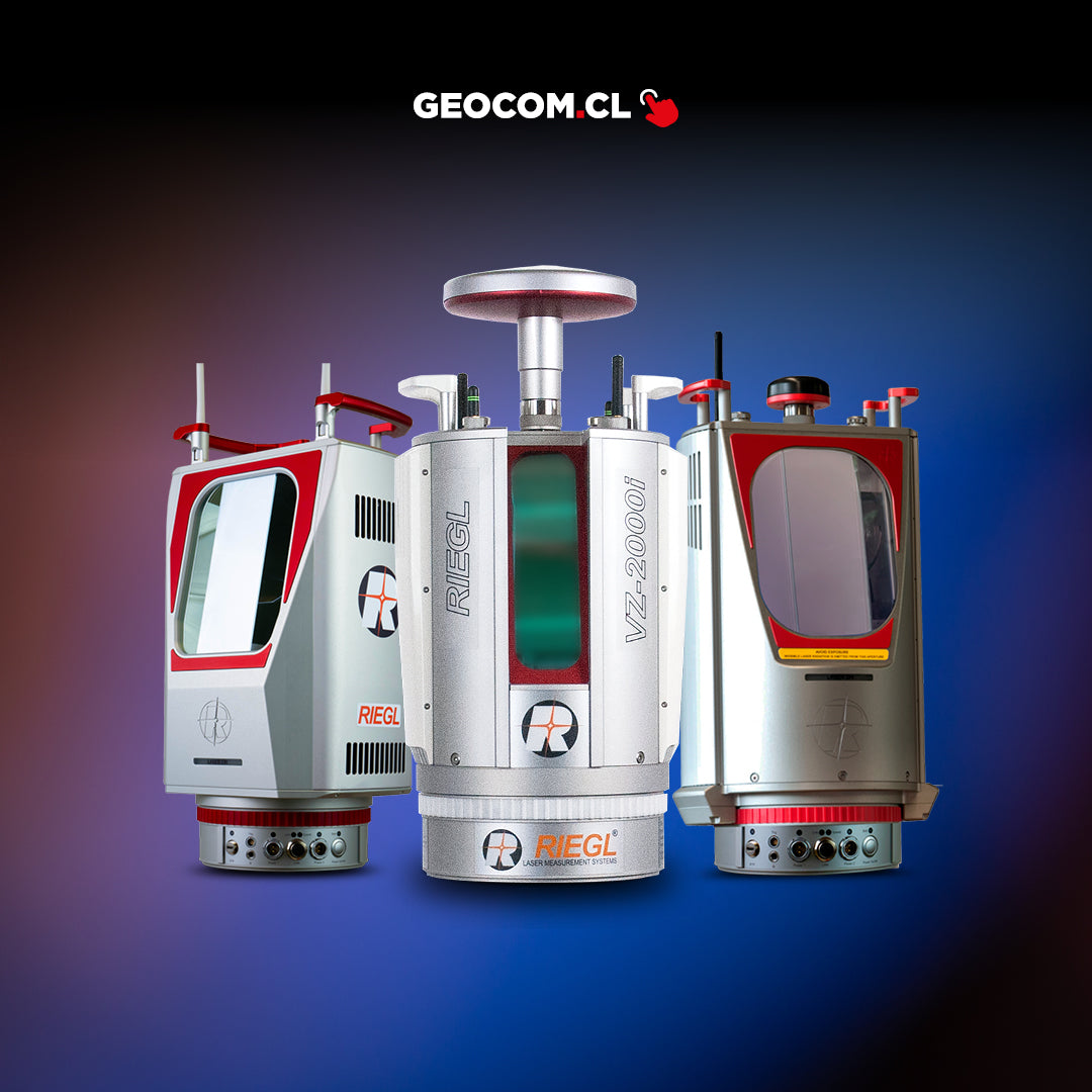
• RIEGL terrestrial laser scanner complement
• Data acquisition, visualization, and processing
• Simple coordinate management interface
• Powerful point cloud management and filtering tools
• Various data export formats
• Creation of triangulations, contour lines, volume calculation
• Profiles, Surface comparison
Datasheet
Download Datasheet
Characteristics
Specifications
Video
He also takes
-
Consulting
Our team is ready to help you overcome any challenge in your projects. We have specialists with real technical training, who will guide you to integrate the exact solution your operation needs. Get advice from us via WhatsApp here
-
After-sales (Support and Technical Service)
We provide immediate technical support through our engineers to advise you on using your equipment to its maximum potential. Contact us to schedule your Technical Support via WhatsApp, or visit our Specialized Support portal to resolve operational queries.
-
News
Always stay one step ahead with the latest innovations in geospatial technology. Learn about new product launches, exclusive events, and technical talks designed to optimize your solutions. Discover all our news on the GEOCOM Blog