


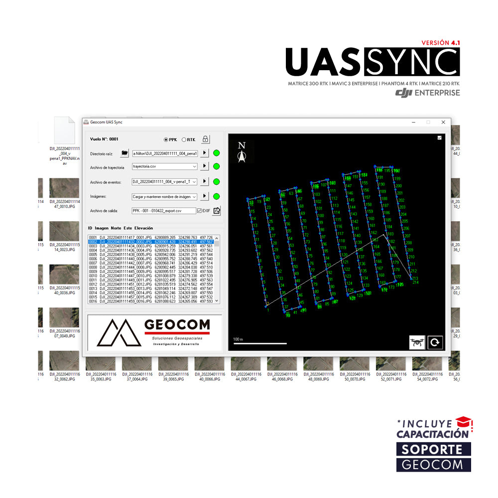
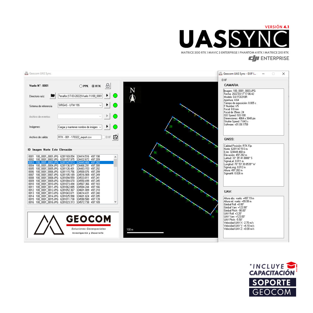

GEOCOM UAS SYNC Software
GEOCOM UAS Sync is the synchronization software used to obtain the precise position of each photograph captured by our DJI drones. The application associates with the PPK flight path (obtained in Trimble Business Center) in conjunction with the MRK time file for each event captured by the drone. It is optimized for DJI drone models Phantom 4 RTK, Matrice 210 RTK, Matrice 300 RTK, and Mavic 3 Enterprise.

SEE MORE INFORMATION VERSION 4.1
He also takes
-
Consulting
Our team is ready to help you overcome any challenge in your projects. We have specialists with real technical training, who will guide you to integrate the exact solution your operation needs. Get advice from us via WhatsApp here
-
After-sales (Support and Technical Service)
We provide immediate technical support through our engineers to advise you on using your equipment to its maximum potential. Contact us to schedule your Technical Support via WhatsApp, or visit our Specialized Support portal to resolve operational queries.
-
News
Always stay one step ahead with the latest innovations in geospatial technology. Learn about new product launches, exclusive events, and technical talks designed to optimize your solutions. Discover all our news on the GEOCOM Blog
