


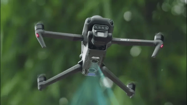
Compact and portable
Folds for easy storage.

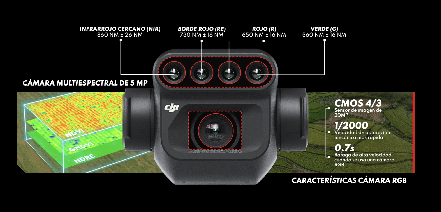
Multispectral Camera
4 x 5 MP | G/R/RE/NIR

RGB Camera
20 MP | 4/3 CMOS,
Mechanical Shutter

Anti-collision sensors
Omnidirectional Obstacle Avoidance

Efficient and reliable battery
Up to 43 minutes of battery life

Safe and Stable
15km transmission distance

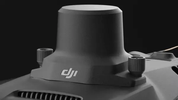
Precise Positioning
Centimeter-level RTK positioning

Efficient aerial surveying
Up to 200 hectares per flight
Precision Agriculture
Effective aerial surveying needs to see the invisible. That's why the Mavic 3 Multispectral has two ways of seeing. It combines an RGB camera with a multispectral camera to scan and analyze crop growth with total clarity. Agricultural production management requires precision and data, and the Mavic 3M offers both.

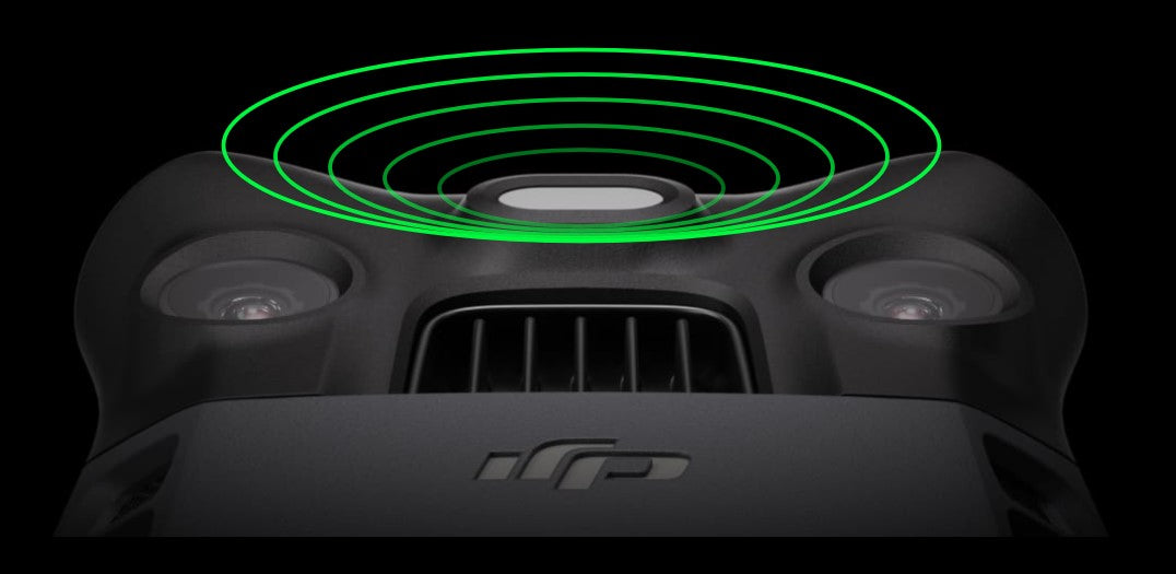
Sunlight Sensor
The integrated sunlight sensor captures solar radiation and records it in an image file, enabling light compensation of the image data during 2D reconstruction. This results in more accurate NDVI results, as well as greater precision and consistency of data acquired over time.
Accurate images that capture every pixel
Mavic 3M with RTK module for centimeter-level positioning.
The flight control, camera, and RTK module are synchronized in microseconds to precisely capture the location of each camera's image center. This allows Mavic 3M to perform high-precision aerial surveys without using ground control points.
Omnidirectional Obstacle Sensing
The aircraft features multiple wide field-of-view vision sensors that accurately detect obstacles in all directions for omnidirectional obstacle avoidance. Terrain-following aerial surveying can be easily performed in steep slope landscapes.
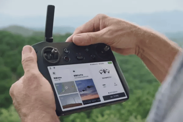
Stable signal, smooth image transmission
O3 transmission integrates two transmit signals and four receive signals to support ultra-long transmission distances of 15 km.

TRAINING AND SUPPORT INCLUDED
Today, continuous training is a necessity for many companies and professionals. From this perspective, GEOCOM offers users of geospatial instruments and software a wide catalog of training sessions and courses that can be taken from any location at any time.