


Satellite navigation system for mining drills | NASAP
Description
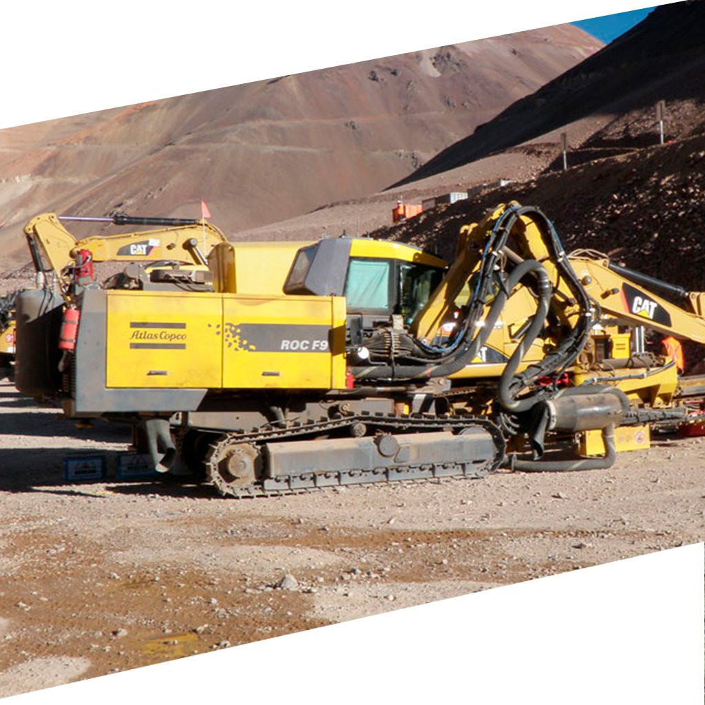
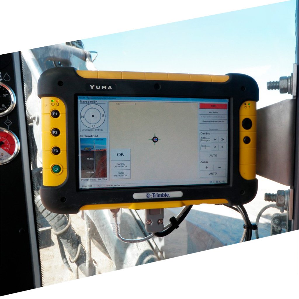
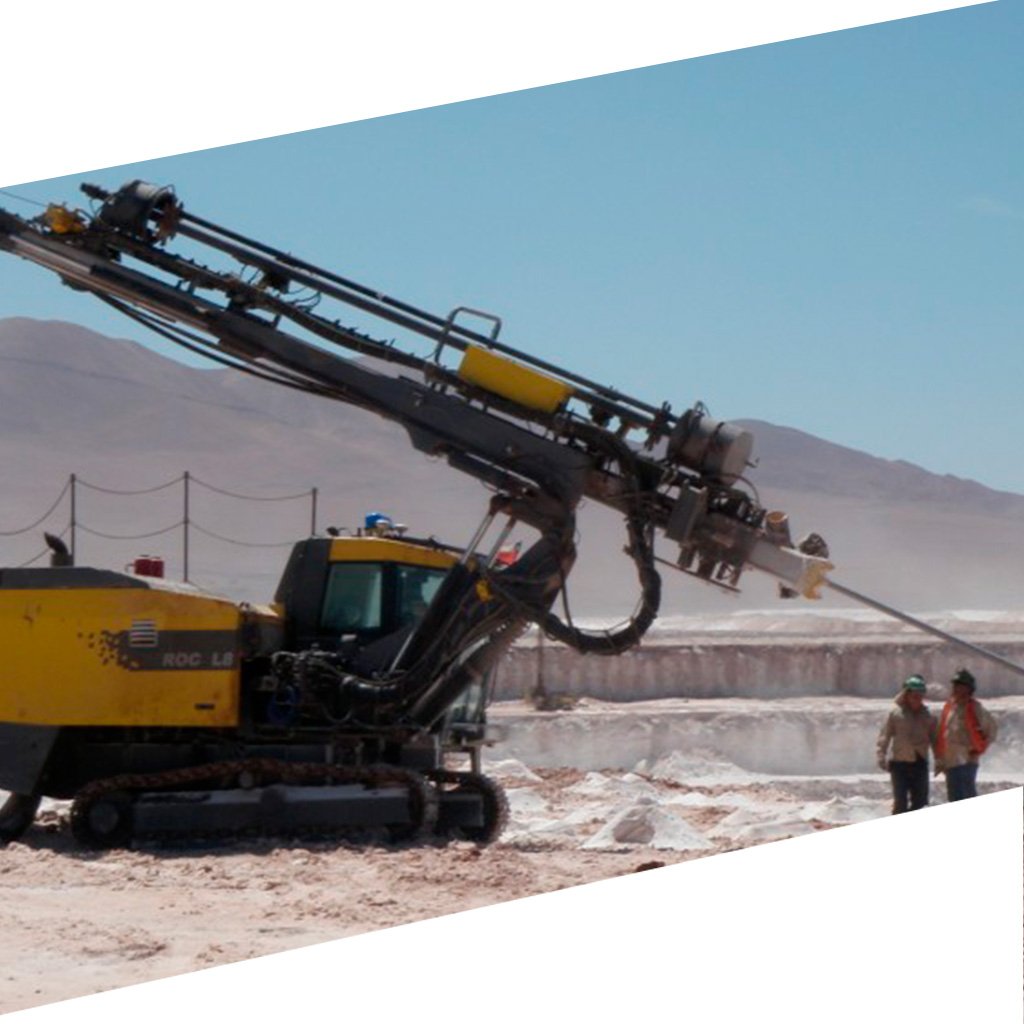
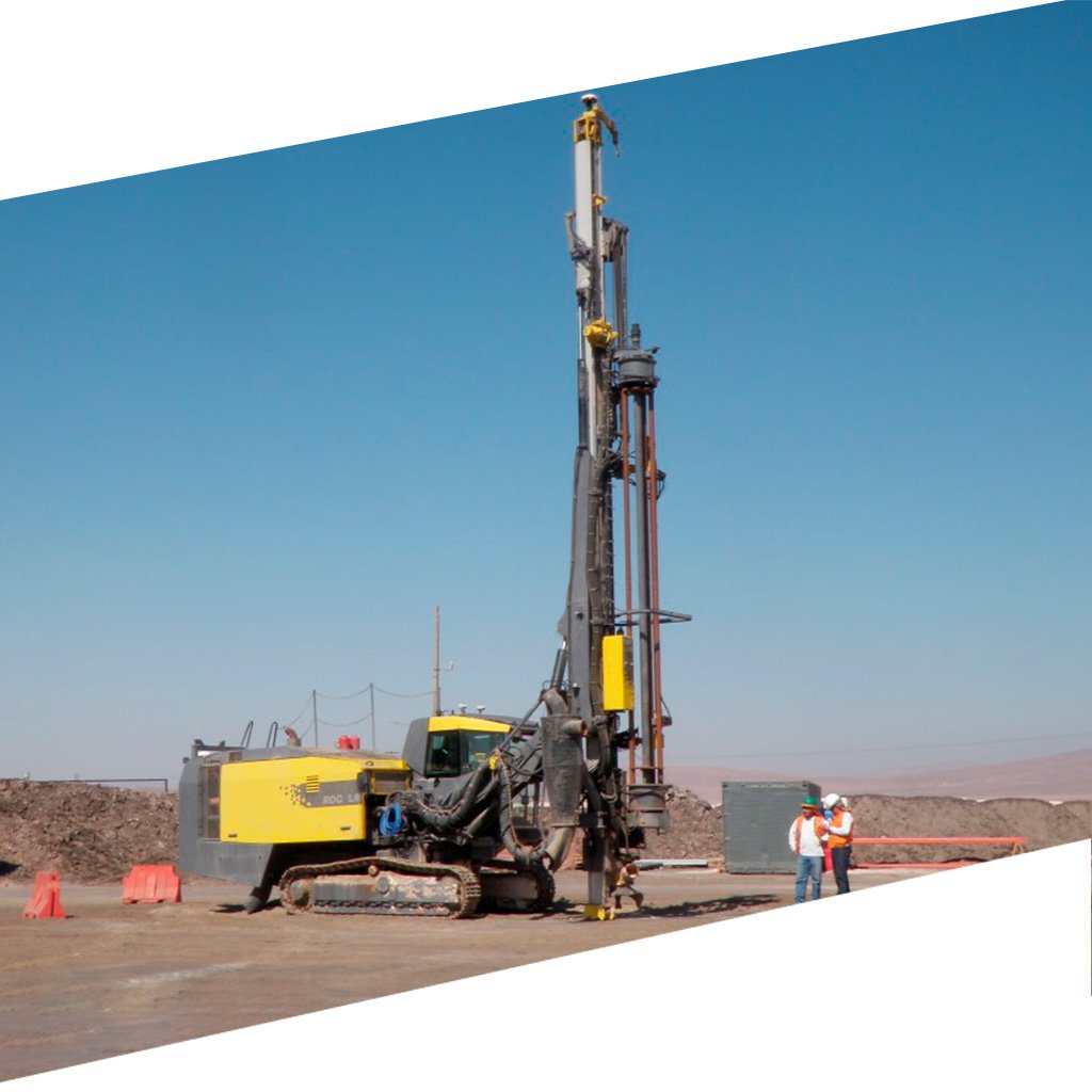
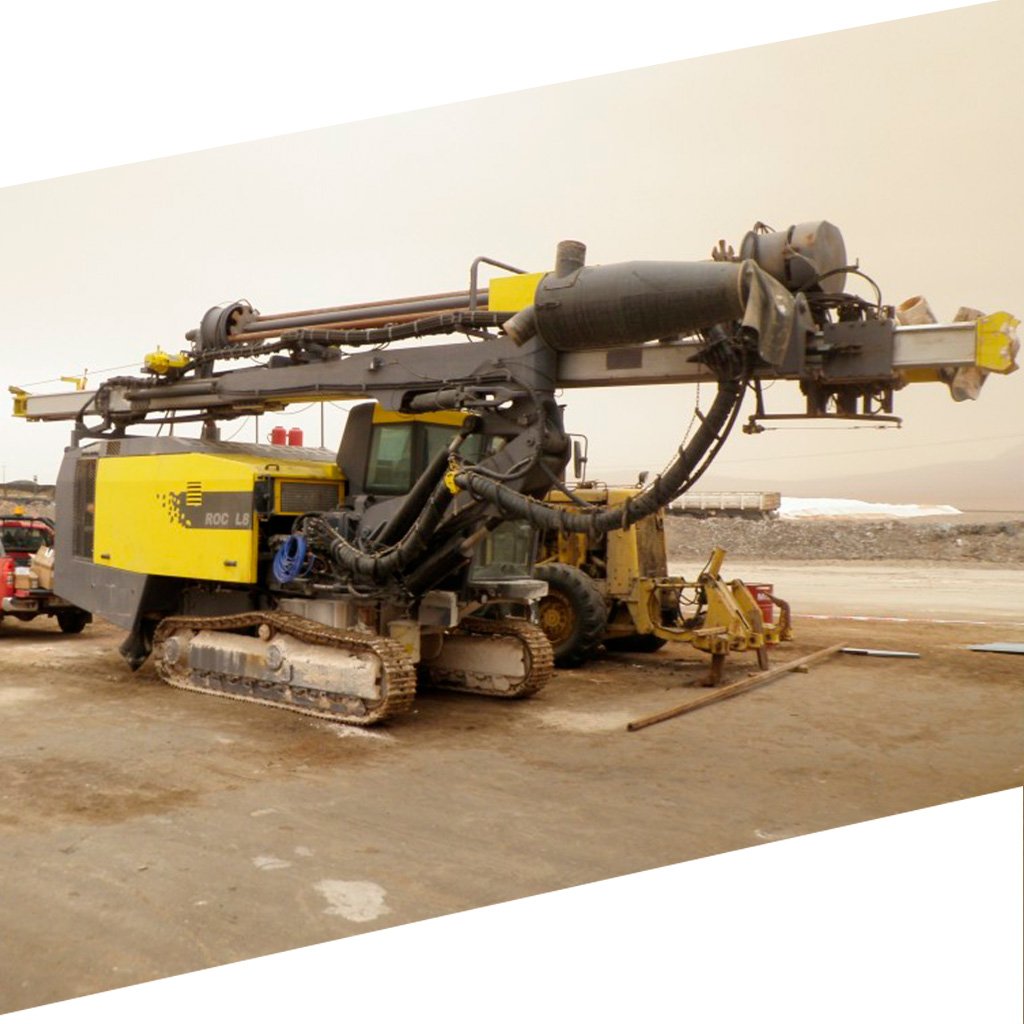
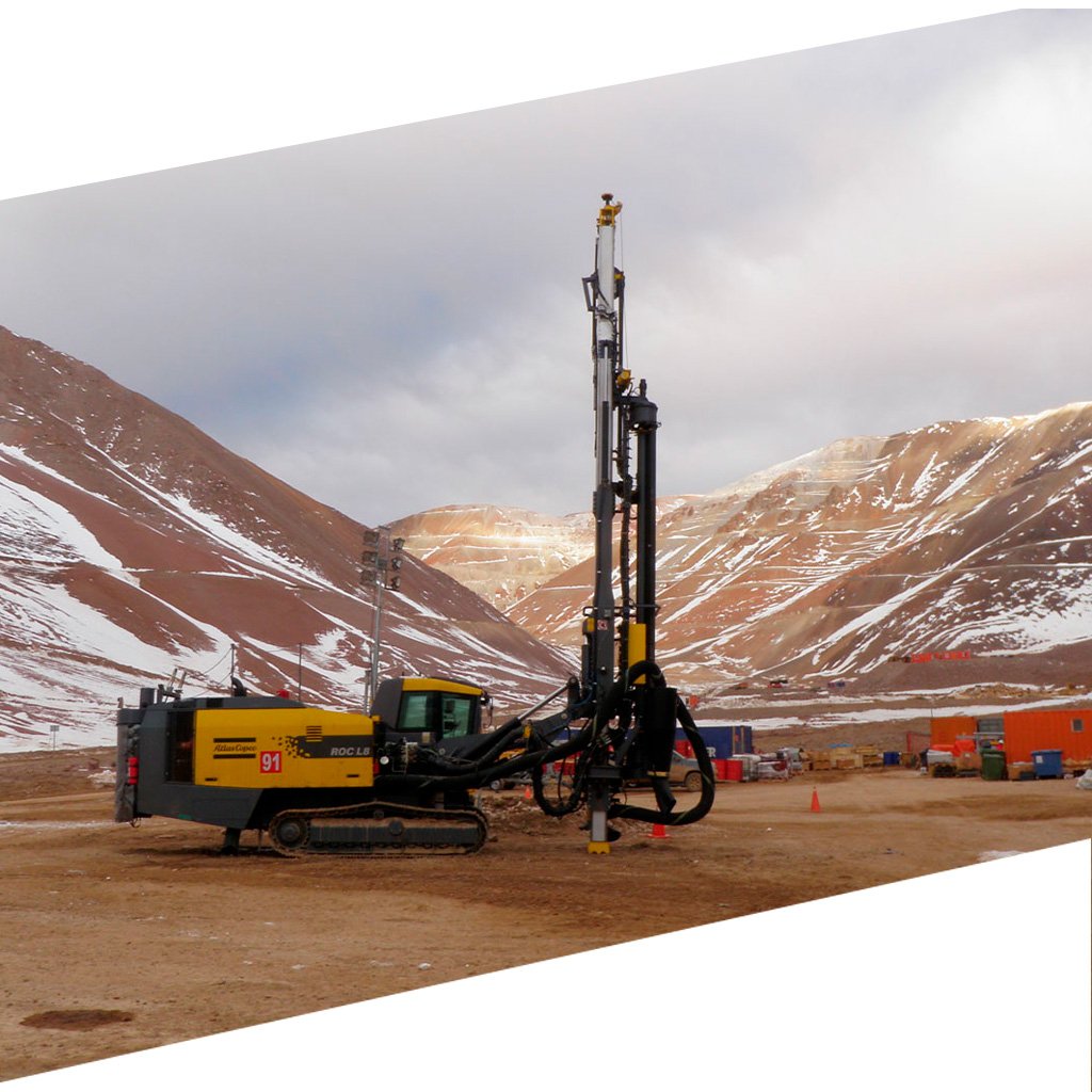
Satellite navigation system for drills Technology that takes the drilling process to the next level, implements state-of-the-art and high-precision GNSS equipment to guide the drill from long distances to the precise point where drilling is desired.
Specifications
• Increase productivity
• Reduce risks
• Easy programming
• Continuous work
• High precision
• Reach position without needing a physical mark
He also takes
-
Consulting
Our team is ready to help you overcome any challenge in your projects. We have specialists with real technical training, who will guide you to integrate the exact solution your operation needs. Get advice from us via WhatsApp here
-
After-sales (Support and Technical Service)
We provide immediate technical support through our engineers to advise you on using your equipment to its maximum potential. Contact us to schedule your Technical Support via WhatsApp, or visit our Specialized Support portal to resolve operational queries.
-
News
Always stay one step ahead with the latest innovations in geospatial technology. Learn about new product launches, exclusive events, and technical talks designed to optimize your solutions. Discover all our news on the GEOCOM Blog
