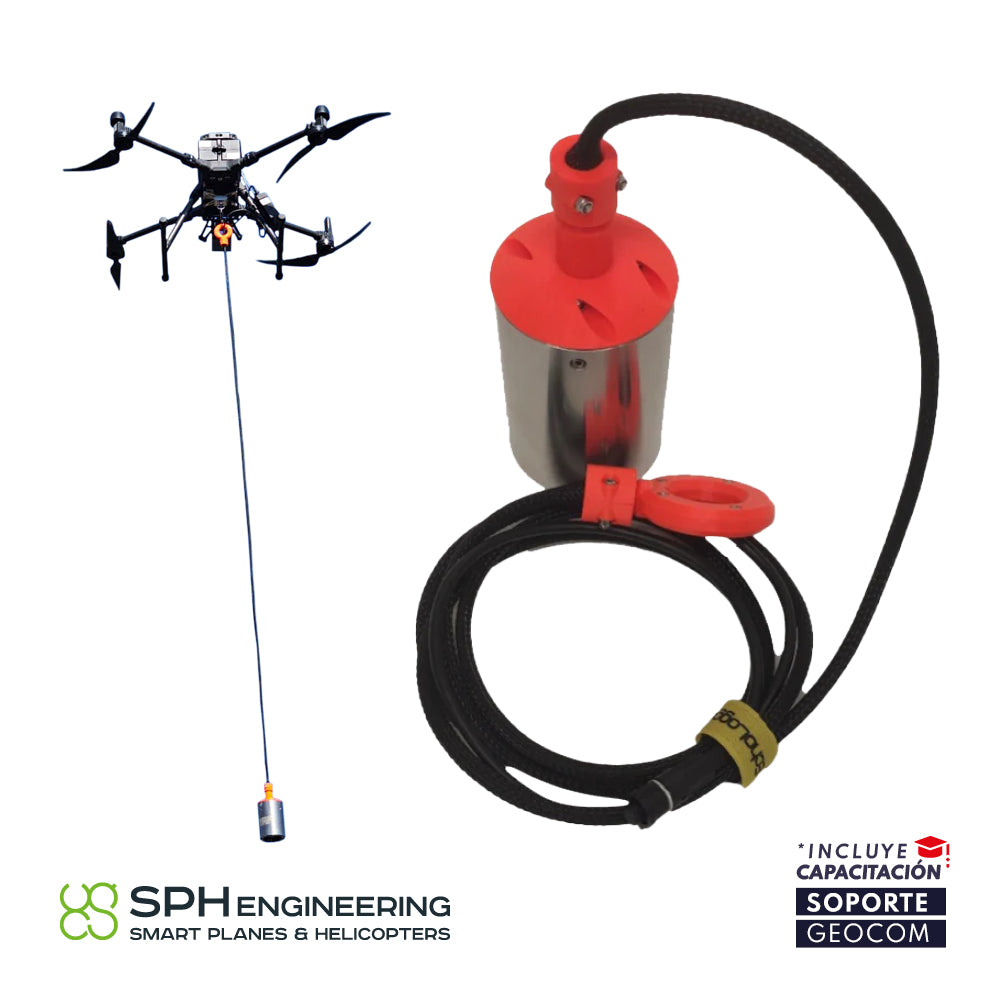
Ecosonda simple frecuencia de (450 kHz)

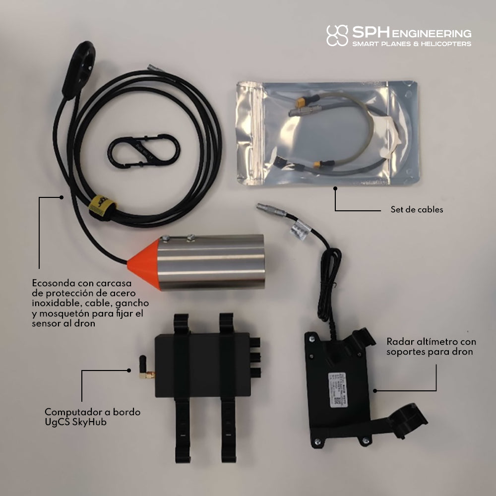
Echologger Echosounder SPH Engineering

ECHO SOUNDER FOR BATHYMETRIC SURVEYS
Integration with DJI Enterprise Matrice 300 RTK drone
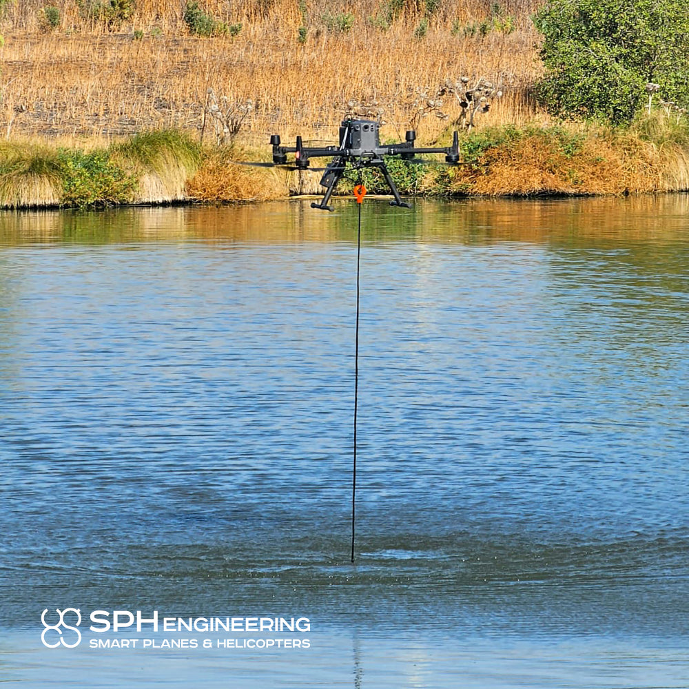
- The bathymetric drone maps water depths and sediments much faster and more cost-effectively than other methods.
- It is easy to transport, deploy, and has the ability to operate in hard-to-reach places, unsafe or dangerous environments.
- The drone performs bathymetric surveys 10 times faster and 2 times more cost-effectively compared to a standard approach using a boat, vessel, or uncrewed surface vehicle.
OPERATION ANYWHERE
Ideal for hard-to-reach places (steep coastlines, mine shafts, shallow waters, terrain obstacles), as well as pond, lake, and canal waters. No extensive water entry point is needed for deployment/recovery. Places that cannot be reached on foot can be safely reached with a drone.
SAVE TIME
Acquire data 10 times faster compared to traditional methods, due to ease of transport and rapid deployment.
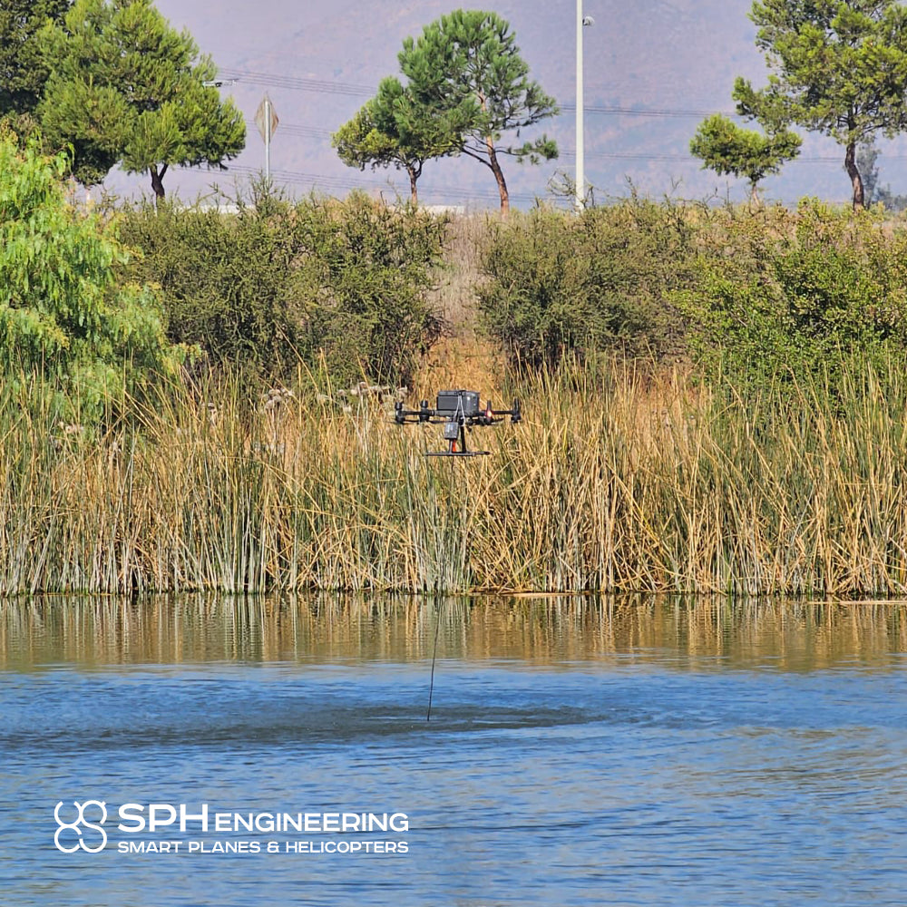
OPERATE IN COMPLEX CONDITIONS
The system operates in unsafe and dangerous environments, which a human should not freely approach. A drone operates without contact with the water, so lakes and rivers with strong currents, as well as contaminated waters, can be measured.
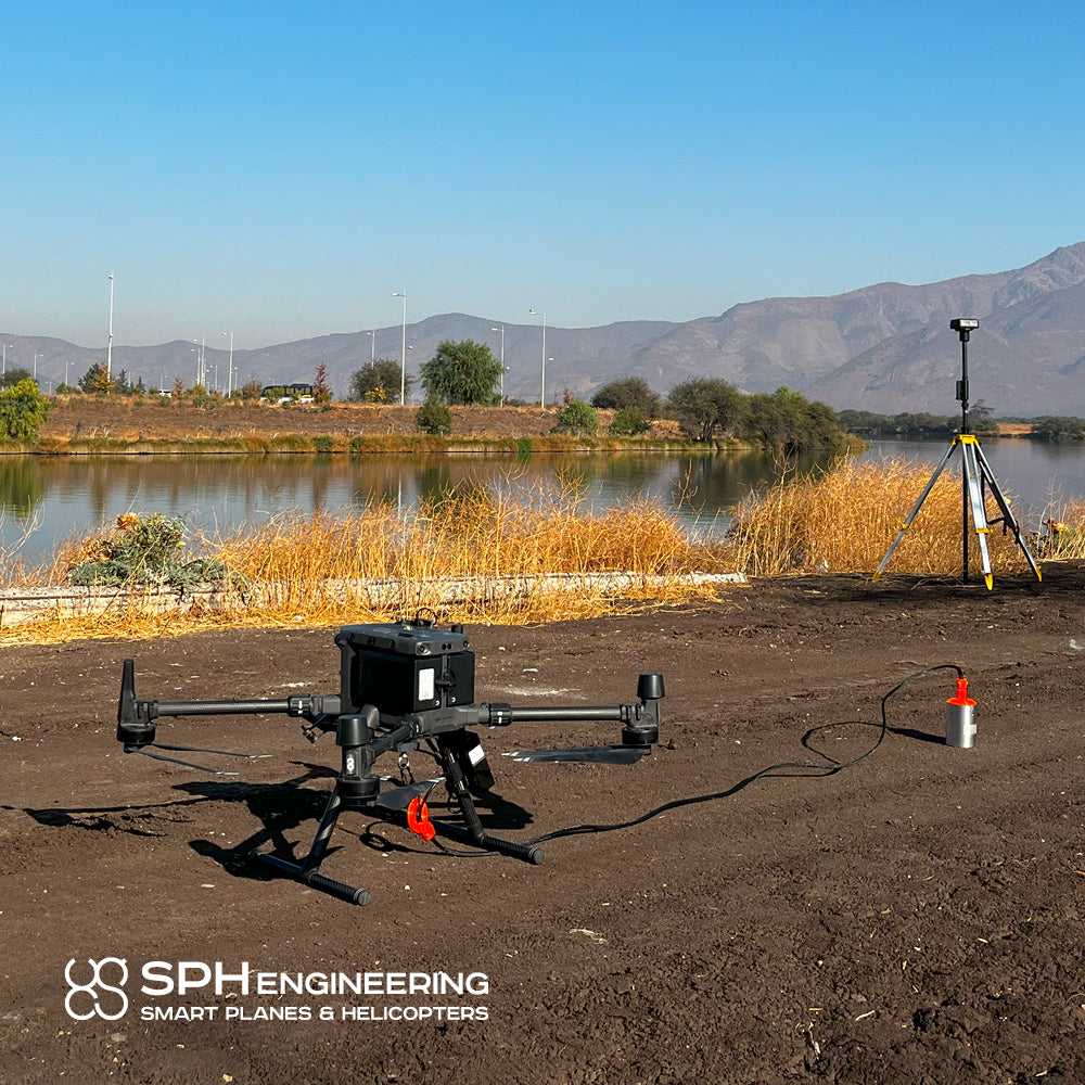
ACCURATE MEASUREMENTS
Precise drone positioning follows inspection routes, flies at a constant speed, and reaches specified altitudes, resulting in high-precision measurements.

Characteristics
Specifications
Aplicaciones
Video
He also takes
-
Consulting
Our team is ready to help you overcome any challenge in your projects. We have specialists with real technical training, who will guide you to integrate the exact solution your operation needs. Get advice from us via WhatsApp here
-
After-sales (Support and Technical Service)
We provide immediate technical support through our engineers to advise you on using your equipment to its maximum potential. Contact us to schedule your Technical Support via WhatsApp, or visit our Specialized Support portal to resolve operational queries.
-
News
Always stay one step ahead with the latest innovations in geospatial technology. Learn about new product launches, exclusive events, and technical talks designed to optimize your solutions. Discover all our news on the GEOCOM Blog