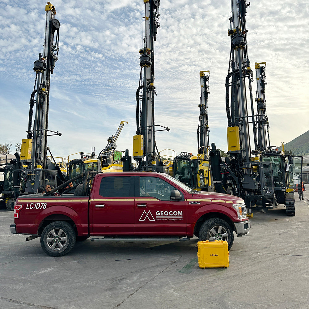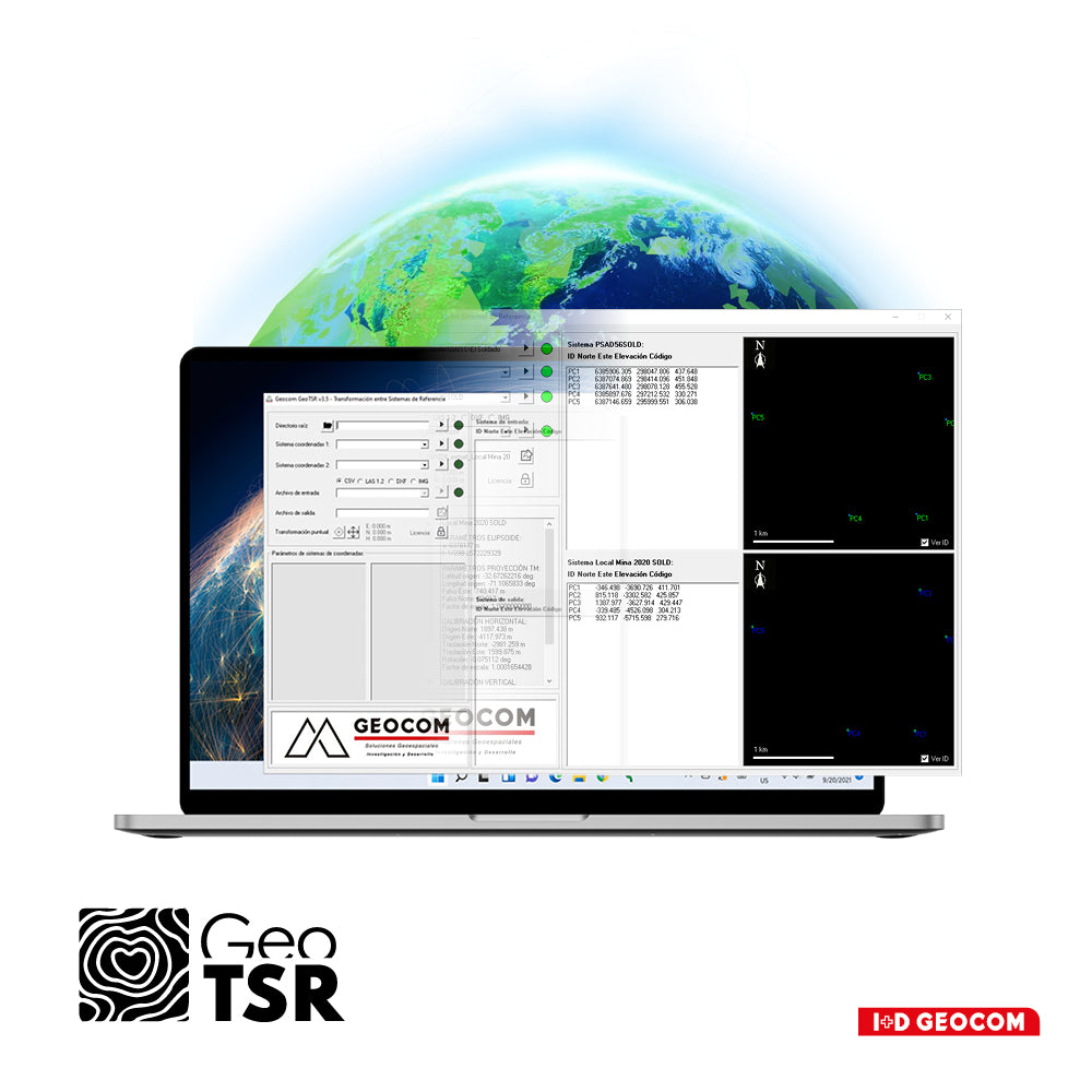
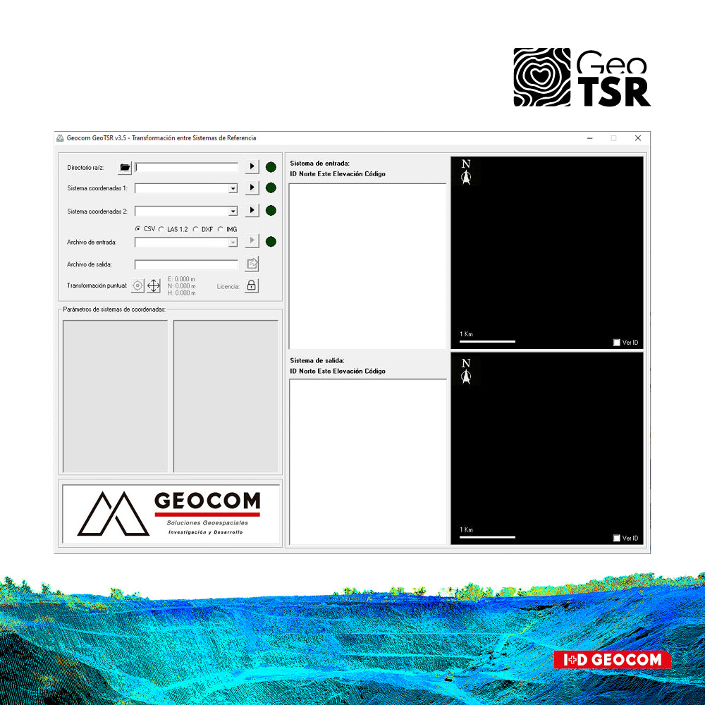
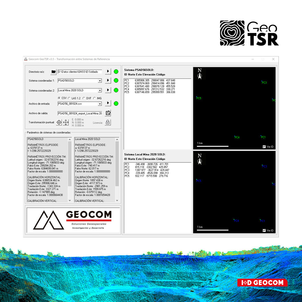

Geocom GeoTSR Software
Transforming software between reference systems
Software for transforming topographic data between local reference systems, used in mining. In addition to UTM, LTM, and PTL projections for engineering works.
GeoTSR supports the following topographic products:
- Discrete points in CSV format.
- Point clouds in LAS format.
- Drawing and design files in DXF format.
- Georeferenced photographs.
Solution for current mining needs
Applicable for operational sites with more than one reference system, companies with neighboring properties that need to share topographic data and designs, as well as transform from local systems to SIRGAS (WGS84) for auditing and mining property. The solution is customized for each operation, including calculations and standardization of existing systems.
From specific transformations to massive points
The software is useful for sporadic users who only need to quickly transform a few coordinates, as well as for more experienced users who need to transform millions of points in point clouds.
DXF drawing and design files
Unique solution for transforming DXF files, transforming points, lines, polygons, text, and more.
Georeferenced photographs
New functionality that allows exporting to Google Earth and calculating the local coordinates of photographs taken in the field with geolocation.
- Windows 10 or Windows 11 (64 bits)
- 2 to 4 processors 2.7 GHz
- RAM: 16 GB
- C Drive Windows: 100 GB
He also takes
-
Consulting
Our team is ready to help you overcome any challenge in your projects. We have specialists with real technical training, who will guide you to integrate the exact solution your operation needs. Get advice from us via WhatsApp here
-
After-sales (Support and Technical Service)
We provide immediate technical support through our engineers to advise you on using your equipment to its maximum potential. Contact us to schedule your Technical Support via WhatsApp, or visit our Specialized Support portal to resolve operational queries.
-
News
Always stay one step ahead with the latest innovations in geospatial technology. Learn about new product launches, exclusive events, and technical talks designed to optimize your solutions. Discover all our news on the GEOCOM Blog