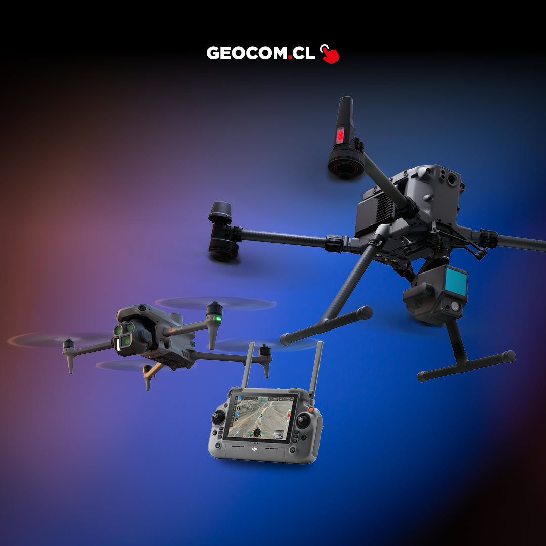
El sistema definitivo de posicionamiento y extensión de señal: precisión centimétrica, alcance ampliado y control versátil para tu flota de drones DJI Enterprise.

DJI D-RTK3

MULTIFUNCTION STATION
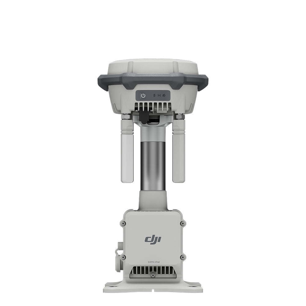
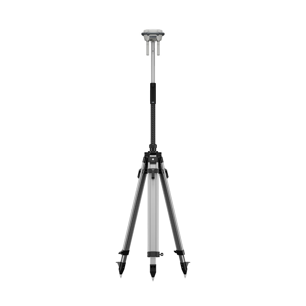
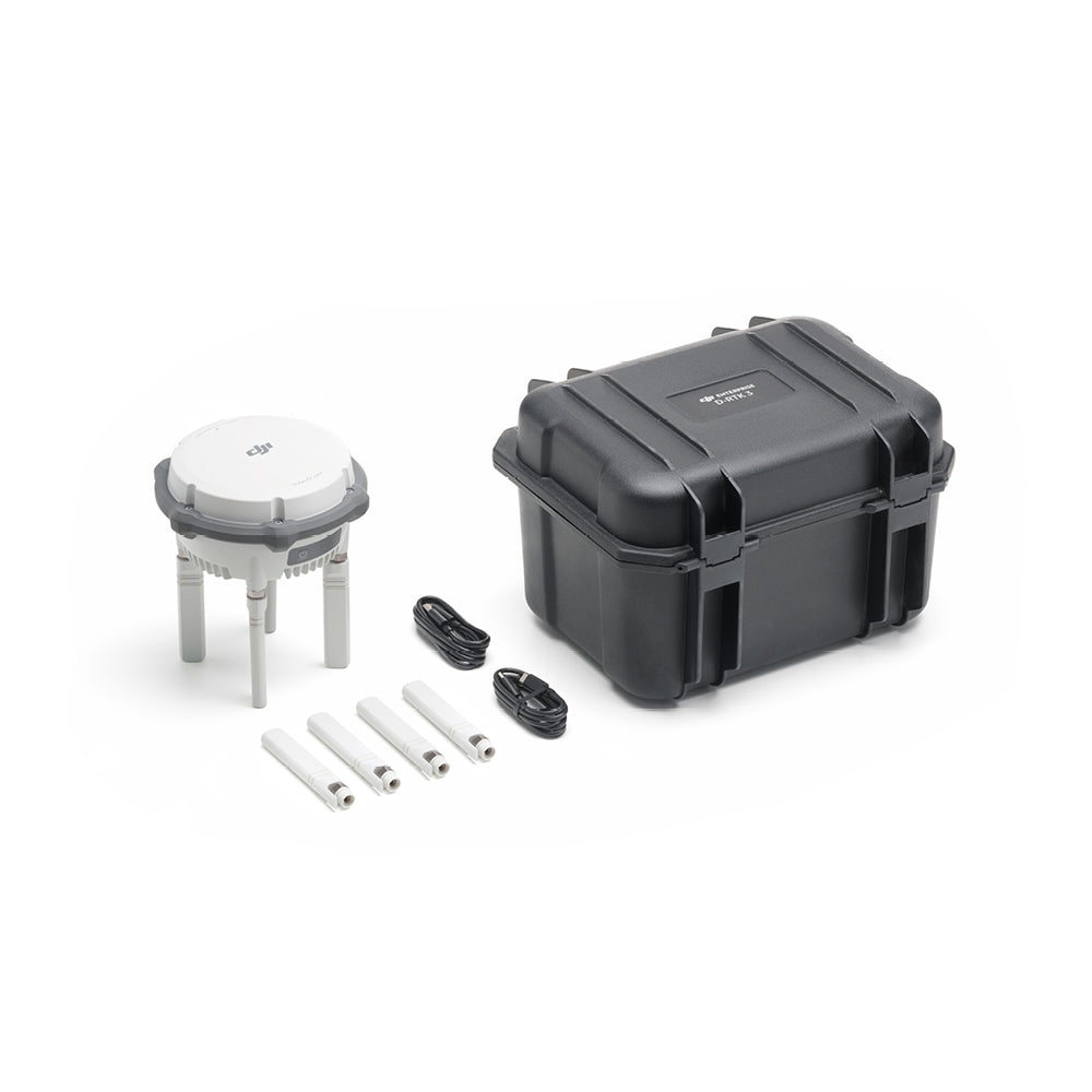
The new D-RTK 3 Multifunction Station integrates high-performance antennas and receiver modules, capable of tracking and resolving data from the world's major satellite navigation systems. Thanks to these extraordinary features, it can serve as a base station to provide centimeter-level positioning for multiple drones simultaneously, or extend the operating range of drones and DJI Dock 2 in repeater station mode. In addition, the new explorer station mode, combined with the DJI Enterprise app and DJI Terra, offers a comprehensive solution for high-precision aerial inspection applications, ensuring safe and accurate operation.
MULTIPLE MODES, FOR VERSATILE CONTROL
Broadcast Mode: Supports simultaneous operation of multiple models
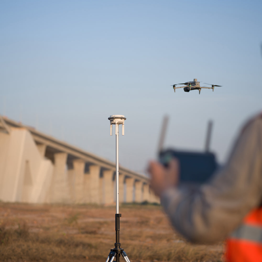
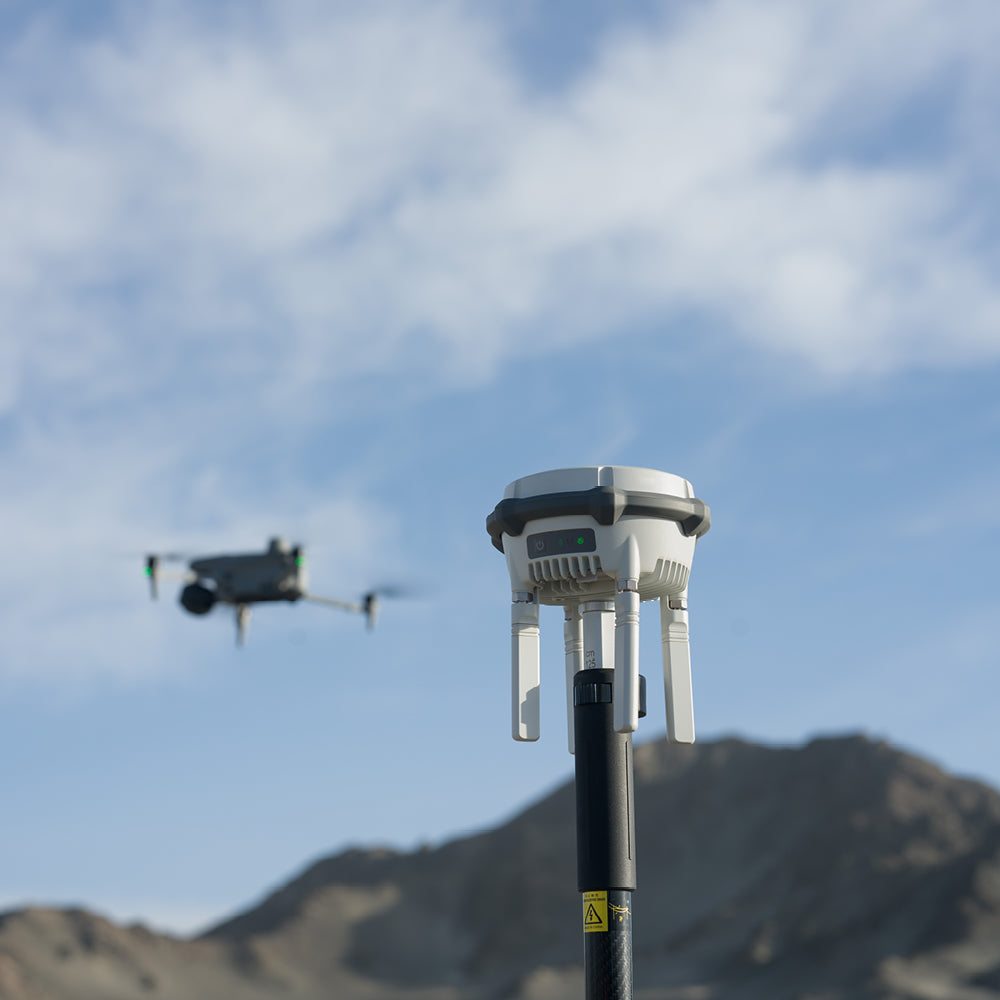
D-RTK 3 supports the new O4 ENT video transmission with four external directional antennas, allowing 15 km video transmission in base station Broadcast mode while ensuring stable signals in all directions. Operators only need to set up one D-RTK 3 Multifunction Station without additional configuration, allowing multiple drones to connect to the base station and access centimeter-level positioning.
Repeater Station Mode: Forget limitations
Switch D-RTK 3 to repeater station mode and set it up in an elevated location in areas with significant signal obstructions, such as urban environments or valleys. This will enhance video transmission distance and extend the operating range of the Matrice 4 series up to 25 kilometers.
D-RTK 3 supports obstacle detection with the Matrice 4 series, enabling real-time calculation of obstacles and signal quality between the repeater station, remote control, and drone. Operators can adjust the drone's position based on remote control prompts to ensure optimal communication quality.
Additionally, in repeater station mode, D-RTK 3 can be set up on rooftops and used directly on the ground, reducing deployment limitations caused by obstacles.
Explorer Station Mode: Flexible and Efficient
In addition to serving as a base station, D-RTK 3 can also be used as an explorer station to collect control point coordinates, which improves the accuracy of UAS aerial inspection and enhances inspection precision.
Higher Performance, More Precise Positioning
D-RTK 3 uses an air dielectric antenna with a filtering design, which effectively tracks low-elevation satellites. The antenna's phase center error is maintained within a 2 mm margin, ensuring strong resistance to multipath interference and enabling high-precision positioning even in complex environments.
With its integrated receiver module, D-RTK 3 can receive satellite data from five major satellite systems across nineteen frequency points. Compared to RTK networks, D-RTK 3 provides more accurate and stable positioning results under ionospheric effects.
Precise Point Positioning (PPP)
D-RTK 3 uses DJI's proprietary PPP solution, enabling automatic satellite-based convergence. It offers decimeter-level positioning independently even in challenging network conditions.
High-Precision Network Calibration
D-RTK 3 can receive RTCM data and automatically obtain correct coordinates and positions through the network. When used outdoors, it can achieve centimeter-level accuracy without the need for prior setup point measurement.
⨭Repeater Station Mode:
Compatible with Matrice 4E/Matrice 4T
⨭Broadcast Mode:
ENT: DJI Matrice 4, DJI Matrice 3D/3TD (aircraft only), Matrice M300/M350 RTK, Matrice M30 series, DJI Mavic 3 ENT series*
Agriculture: T60/T35P*, T50/T25*, T40/T20P*, DJI FlyCart 30*
Professional Filming: DJI Inspire 3*
* Network calibration and other functions are currently only supported by the Matrice 4 series.
⨭Explorer Station Mode:
Compatible with Bluetooth 5.1, suitable for Android 9 and later


Characteristics
Specifications
Video
He also takes
-
Consulting
Our team is ready to help you overcome any challenge in your projects. We have specialists with real technical training, who will guide you to integrate the exact solution your operation needs. Get advice from us via WhatsApp here
-
After-sales (Support and Technical Service)
We provide immediate technical support through our engineers to advise you on using your equipment to its maximum potential. Contact us to schedule your Technical Support via WhatsApp, or visit our Specialized Support portal to resolve operational queries.
-
News
Always stay one step ahead with the latest innovations in geospatial technology. Learn about new product launches, exclusive events, and technical talks designed to optimize your solutions. Discover all our news on the GEOCOM Blog