


GEOCOM AT THE SIRGAS 2021 SYMPOSIUM
GEOCOM's presentation at the SIRGAS 2021 Symposium. “USE OF SIRGAS WEEKLY COORDINATES: A VISION FROM THE CHILEAN INDUSTRY”
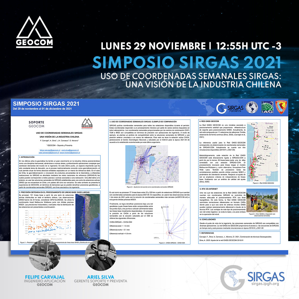
In recent years, geomatics has experienced significant growth in the Chilean industry, positioning itself as a transversal discipline, expanding into new areas, and delving into complex applications that meet the demands of the engineering world. In this latter point, an important aspect that has been a constant topic of discussion is the process traditionally known as georeferencing, which allows for the absolute positioning of spatial entities within a given reference framework. In the case of Chile, the georeferencing or linking of products derived from Geomatics to different SIRGAS realizations is addressed through national reference networks (SIRGAS-N), which can correspond to passive or active networks associated with a realization. An alternative to this is to use the weekly SIRGAS solutions established for a series of active GNSS stations located in Chile and in nearby Southern Cone countries. In this context, GEOCOM's experience is presented, demonstrating that it is possible to densify geodetic positions, based on SIRGAS weekly coordinates, for engineering purposes.

AUTHORS

Felipe Carvajal | GEOCOM Application Engineer
Geomatics Execution Engineer from the University of Santiago, Chile, with postgraduate studies in Geodetic Sciences in Brazil. He currently divides his activities as a researcher, lecturer, and application engineer at GEOCOM. Enthusiastic about the study and research of geodetic positioning techniques and methods for engineering, passionate about technological development in the field of terrestrial and spatial geodetic sensors.

Ariel Silva | GEOCOM Support and Presales Manager
Geomatics Execution Engineer and Master in Geomatics with experience in the application of geodesy, topography, and photogrammetry in engineering works. He has worked in the mining industry directly in the operation of open-pit mines, as well as in academia as a lecturer in various higher education institutions related to geomatics, specializing in the adjustment of terrestrial and satellite geodetic observations.
At GEOCOM, he serves as Support and Presales Manager, leading a team of engineers dedicated to solving customer problems in the implementation of geotechnologies and also in their dissemination.

José Carrasco | GEOCOM GNSS & Optical Solutions Specialist
Geomatics Engineer, specialist in Geodesy and topography applied to mining infrastructure engineering projects. Experience in open-pit mine planning, geotechnics, assembly, and underground mining. Extensive experience in geospatial solutions.

Oscar Moreno | GEOCOM UAS Application Engineer
Geomatics Execution Engineer and currently a Master's student in Remote Sensing with extensive experience as a certified instructor pilot for fixed-wing and rotary-wing drones. In academia, he has participated as a lecturer and speaker at various higher education institutions.
Since 2014, at GEOCOM, he has worked as a UAS Application Engineer, performing presales, consulting, and support in the planning, execution, and processing of photogrammetric and LiDAR data captured with drones.
Compartir:
OCTOBER | AUGMENTED REALITY SESSIONS
First Geocom Robotic Stations workshop